File:Mapa de una parte del Rio Yapurá - comprehendida desde la boca del Rio Apaporis hasta el Salto Grande o cachoeira de Vuia LOC 2008627941.jpg
Jump to navigation
Jump to search

Size of this preview: 800 × 278 pixels. Other resolutions: 320 × 111 pixels | 640 × 222 pixels | 1,024 × 355 pixels | 1,280 × 444 pixels | 2,560 × 888 pixels | 22,842 × 7,926 pixels.
Original file (22,842 × 7,926 pixels, file size: 14.92 MB, MIME type: image/jpeg)
Captions
Captions
Add a one-line explanation of what this file represents
Summary[edit]
| Warning | The original file is very high-resolution. It might not load properly or could cause your browser to freeze when opened at full size. |
|---|
| Description |
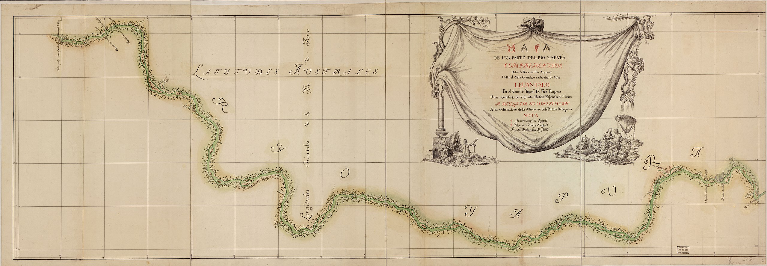
English: "Ega 12 de octubre de 1788." Pen-and-ink and watercolor. Available also through the Library of Congress Web site as a raster image. Includes ill. LC Luso-Hispanic World, 257 Vault |
||
| Title | Mapa de una parte del Rio Yapurá : comprehendida desde la boca del Rio Apaporis hasta el Salto Grande o cachoeira de Vuia | ||
| Shelf ID | G5292.J2 1788 .R41 | ||
| Date | |||
| Source | https://www.loc.gov/item/2008627941/ | ||
| Author | Requena, Francisco | ||
| Permission (Reusing this file) |
|
||
| Location | Brazil · Columbia · Colombia · Japurá River | ||
| Part of | American Memory · Catalog · Geography And Map Division · Cultural Landscapes | ||
| Subject | Brazil · Maps, Manuscript · Columbia · Japurá River (Colombia And Brazil) · Early Works To 1800 · Japurá River |

Licensing[edit]
|
This is a faithful photographic reproduction of a two-dimensional, public domain work of art. The work of art itself is in the public domain for the following reason:
The official position taken by the Wikimedia Foundation is that "faithful reproductions of two-dimensional public domain works of art are public domain".
This photographic reproduction is therefore also considered to be in the public domain in the United States. In other jurisdictions, re-use of this content may be restricted; see Reuse of PD-Art photographs for details. | ||||
File history
Click on a date/time to view the file as it appeared at that time.
| Date/Time | Thumbnail | Dimensions | User | Comment | |
|---|---|---|---|---|---|
| current | 21:48, 24 May 2018 | 22,842 × 7,926 (14.92 MB) | Fæ (talk | contribs) | LOC Maps https://www.loc.gov/item/2008627941/ #14452 |
You cannot overwrite this file.
File usage on Commons
There are no pages that use this file.