File:Mapa del Norte Grande de Chile a finales del siglo XIX.jpg
Jump to navigation
Jump to search
No higher resolution available.
Mapa_del_Norte_Grande_de_Chile_a_finales_del_siglo_XIX.jpg (564 × 564 pixels, file size: 93 KB, MIME type: image/jpeg)
Captions
Captions
Add a one-line explanation of what this file represents
Summary
[edit]
| Description |
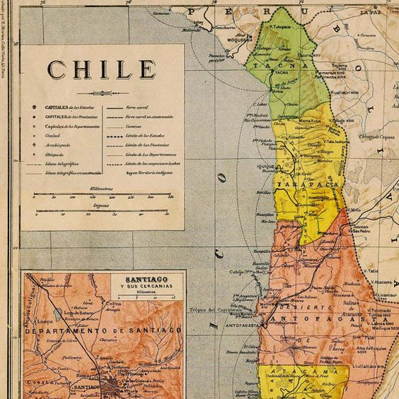
Español: Mapa del Norte Grande de Chile a finales del siglo XIX (Tacna, Tarapacá, Antofagasta con la Puna de Atacama) |
| Date | |
| Source | https://i.pinimg.com/564x/e2/75/48/e27548bf6c79cf8e80d26e6c106460d0.jpg |
| Author | Desconocido |
Licensing
[edit]
This file has fallen into the public domain according to Chilean copyright law (No. 17336 and its amendments). Nevertheless, its author and source must be acknowledged.
See here for the type of material that is in the public domain (patrimonio cultural común / common cultural heritage).
|

|
File history
Click on a date/time to view the file as it appeared at that time.
| Date/Time | Thumbnail | Dimensions | User | Comment | |
|---|---|---|---|---|---|
| current | 14:34, 3 January 2023 | | 564 × 564 (93 KB) | Janitoalevic (talk | contribs) | Uploaded a work by Desconocido from https://i.pinimg.com/564x/e2/75/48/e27548bf6c79cf8e80d26e6c106460d0.jpg with UploadWizard |
You cannot overwrite this file.
File usage on Commons
There are no pages that use this file.