File:Mount Brown, se.jpg
Original file (2,506 × 1,682 pixels, file size: 1.09 MB, MIME type: image/jpeg)
Captions
Summary
[edit]DescriptionMount Brown, se.jpg |
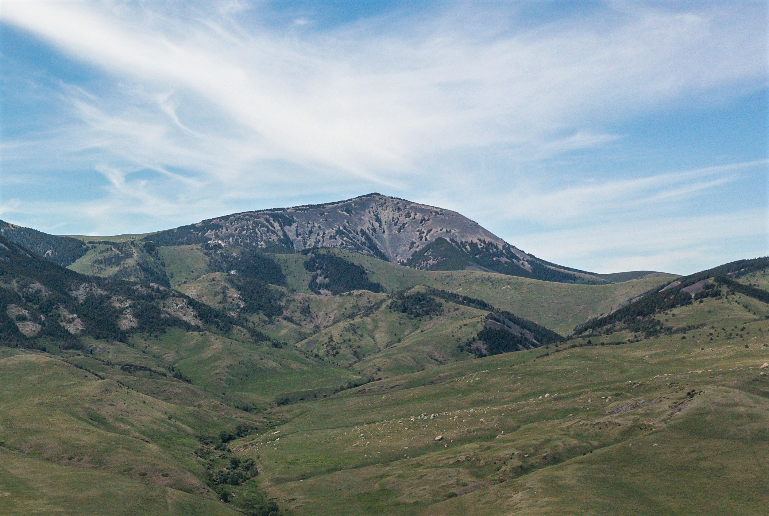
English: Southeast aspect of Mount Brown in the Sweet Grass Hills, Liberty County, near Chester, MT. June 2021 |
Date | |
Source | https://www.flickr.com/photos/160831427@N06/51912249029/ |
Author | USDA NRCS Montana |
Camera location | 48° 50′ 45.78″ N, 111° 03′ 55.62″ W | View this and other nearby images on: OpenStreetMap | 48.846050; -111.065450 |
---|
Licensing
[edit]This image was originally posted to Flickr by NRCS Montana at https://flickr.com/photos/160831427@N06/51912249029. It was reviewed on 28 July 2023 by FlickreviewR 2 and was confirmed to be licensed under the terms of the Public Domain Mark. |
28 July 2023
Public domainPublic domainfalsefalse |
This image or file is a work of a United States Department of Agriculture employee, taken or made as part of that person's official duties. As a work of the U.S. federal government, the image is in the public domain.
English ∙ español ∙ Nederlands ∙ slovenščina ∙ Tiếng Việt ∙ македонски ∙ русский ∙ українська ∙ 日本語 ∙ +/− |
File history
Click on a date/time to view the file as it appeared at that time.
Date/Time | Thumbnail | Dimensions | User | Comment | |
---|---|---|---|---|---|
current | 07:02, 28 July 2023 | 2,506 × 1,682 (1.09 MB) | Ron Clausen (talk | contribs) | crop, exposure | |
06:59, 28 July 2023 | 5,464 × 3,640 (19.07 MB) | Ron Clausen (talk | contribs) | Uploaded a work by USDA NRCS Montana from https://www.flickr.com/photos/160831427@N06/51912249029/ with UploadWizard |
You cannot overwrite this file.
File usage on Commons
There are no pages that use this file.
File usage on other wikis
The following other wikis use this file:
- Usage on en.wikipedia.org
Metadata
This file contains additional information such as Exif metadata which may have been added by the digital camera, scanner, or software program used to create or digitize it. If the file has been modified from its original state, some details such as the timestamp may not fully reflect those of the original file. The timestamp is only as accurate as the clock in the camera, and it may be completely wrong.
Image title |
|
---|---|
Camera manufacturer | Hasselblad |
Camera model | L1D-20c |
Author | USDA/NRCS |
Exposure time | 1/500 sec (0.002) |
F-number | f/2.8 |
ISO speed rating | 200 |
Date and time of data generation | 14:24, 21 June 2021 |
Lens focal length | 10.26 mm |
Latitude | 48° 50′ 45.78″ N |
Longitude | 111° 3′ 55.62″ W |
Altitude | 1,587 meters above sea level |
Label | Red |
City shown | Chester |
Orientation | Normal |
Horizontal resolution | 300 dpi |
Vertical resolution | 300 dpi |
Software used | Windows Photo Editor 10.0.10011.16384 |
File change date and time | 02:24, 26 July 2023 |
Exposure Program | Manual |
Exif version | 2.31 |
Date and time of digitizing | 14:24, 14 September 2017 |
APEX shutter speed | 8.965784 |
APEX aperture | 2.970854 |
APEX exposure bias | −0.3 |
Maximum land aperture | 2.971 APEX (f/2.8) |
Metering mode | Center weighted average |
Light source | Unknown |
Flash | Flash did not fire |
Color space | sRGB |
File source | Digital still camera |
Scene type | A directly photographed image |
Exposure mode | Manual exposure |
White balance | Manual white balance |
Digital zoom ratio | 1 |
Focal length in 35 mm film | 28 mm |
Scene capture type | Standard |
Scene control | None |
Contrast | Normal |
Saturation | Normal |
Sharpness | Normal |
Serial number of camera | 0K8TFA90024338 |
Lens used | 28.0 mm f/2.8 |
Date metadata was last modified | 08:43, 28 February 2022 |
Unique ID of original document | FB1FB6CC9E17DE6DE397654098DA13AF |
Copyright status | Copyright status not set |
Keywords |
|
Contact information | jasperg13@gmail.com
jaspergibson.com 408 Sunnyside Road Sandpoiny, Idaho, 83864 USA |
Province or state shown | Montana |
Country shown | United States |
Code for country shown | US |
IIM version | 4 |