File:NPS death-valley-printable-map.pdf
Jump to navigation
Jump to search
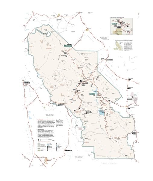
Size of this JPG preview of this PDF file: 507 × 599 pixels. Other resolutions: 203 × 240 pixels | 406 × 480 pixels | 650 × 768 pixels | 866 × 1,024 pixels | 1,733 × 2,048 pixels | 3,300 × 3,900 pixels.
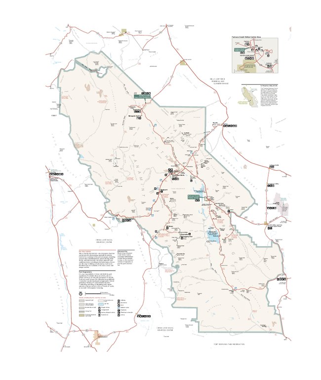
Original file (3,300 × 3,900 pixels, file size: 1.26 MB, MIME type: application/pdf)
Captions
Captions
Add a one-line explanation of what this file represents
Summary
[edit]| Description |
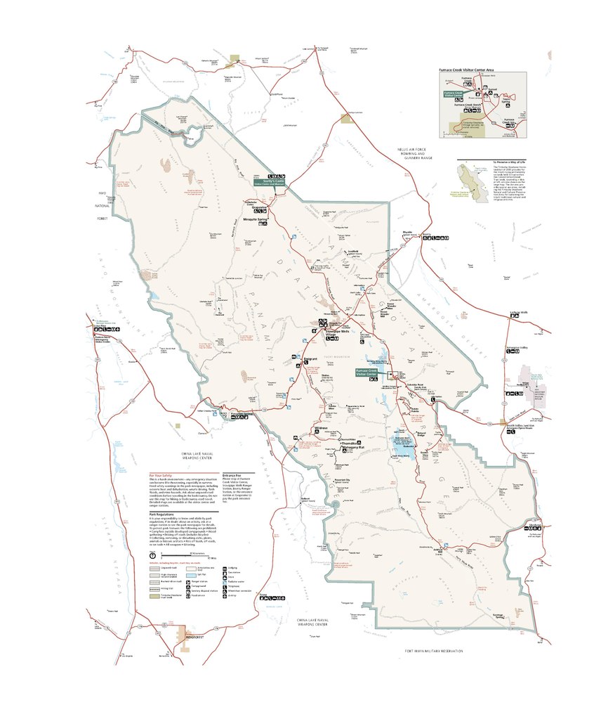
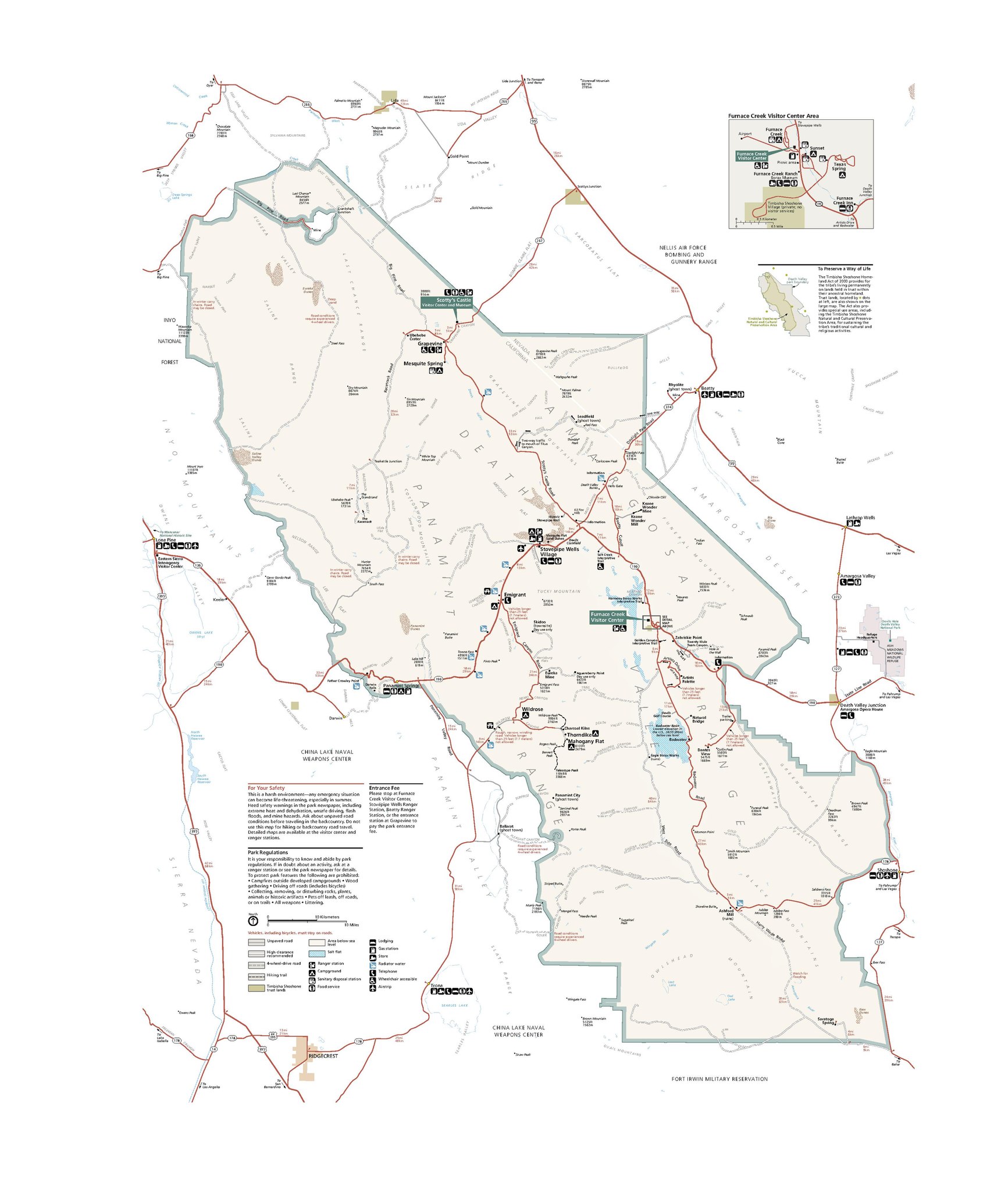
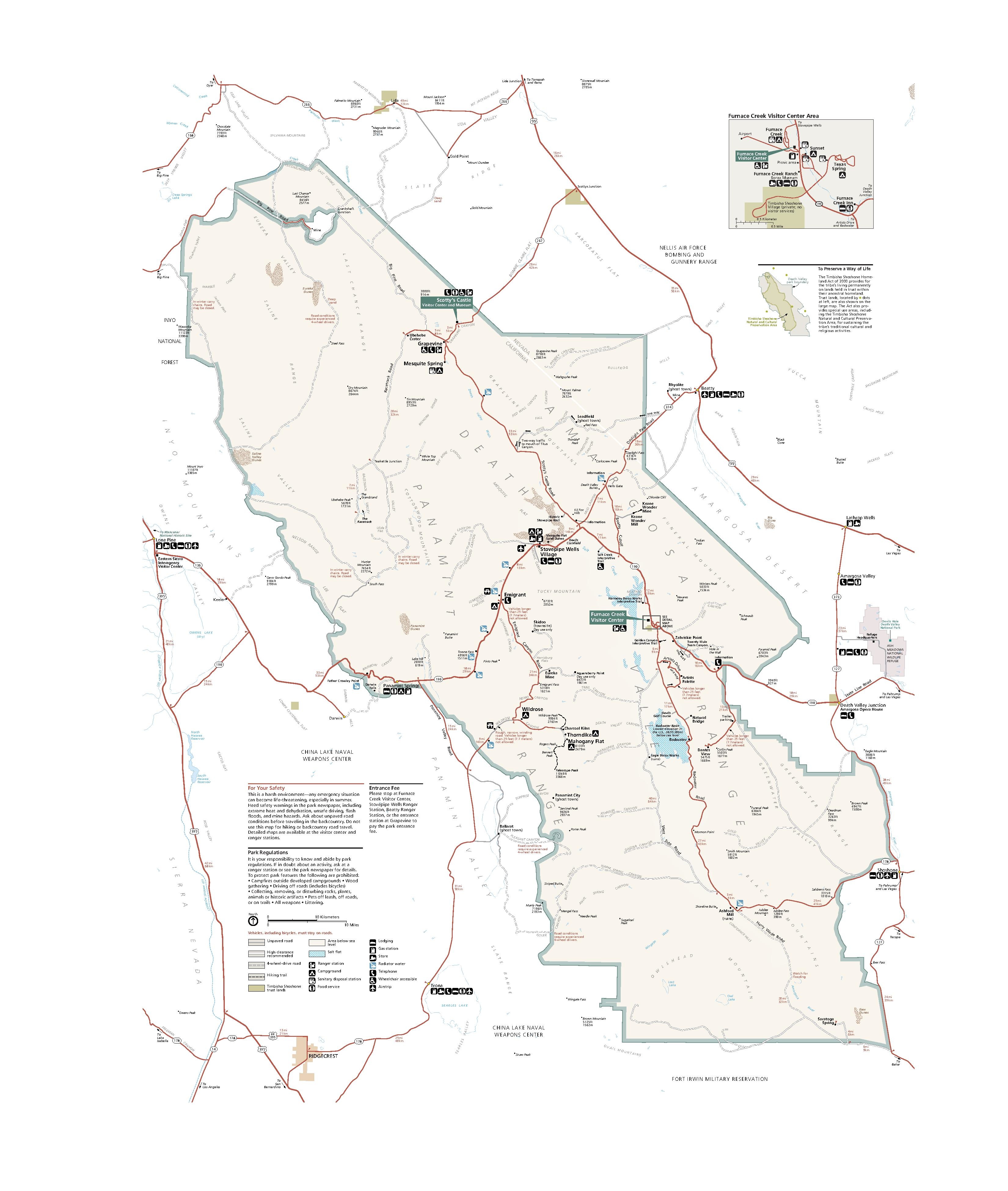
English: Finally, here’s a printable Death Valley map, showing pretty much the same thing as the maps above but without topography shading. |
| Date | |
| Source | U.S. National Park Service (http://npmaps.com/wp-content/uploads/death-valley-printable-map.pdf) |
| Author | U.S. National Park Service, restoration/cleanup by Matt Holly |
| Other versions |
 |
Licensing
[edit]
|
This image or media file contains material based on a work of a National Park Service employee, created as part of that person's official duties. As a work of the U.S. federal government, such work is in the public domain in the United States. See the NPS website and NPS copyright policy for more information. |  |
File history
Click on a date/time to view the file as it appeared at that time.
| Date/Time | Thumbnail | Dimensions | User | Comment | |
|---|---|---|---|---|---|
| current | 20:58, 16 May 2017 |  | 3,300 × 3,900 (1.26 MB) | RKBot (talk | contribs) | =={{int:filedesc}}== {{Information |description= {{en|1=Finally, here’s a printable Death Valley map, showing pretty much the same thing as the maps above but without topography shading.}} |date= 2015-08-21 |source= U.S. National Park Service (http:/... |
You cannot overwrite this file.
File usage on Commons
The following 2 pages use this file: