File:NSG RS-021 Holzer Klippe 3.jpg
Jump to navigation
Jump to search

Size of this preview: 399 × 600 pixels. Other resolutions: 160 × 240 pixels | 319 × 480 pixels | 511 × 768 pixels | 681 × 1,024 pixels | 1,363 × 2,048 pixels | 2,832 × 4,256 pixels.
Original file (2,832 × 4,256 pixels, file size: 14.2 MB, MIME type: image/jpeg)
Captions
Captions
Add a one-line explanation of what this file represents
Summary
[edit]
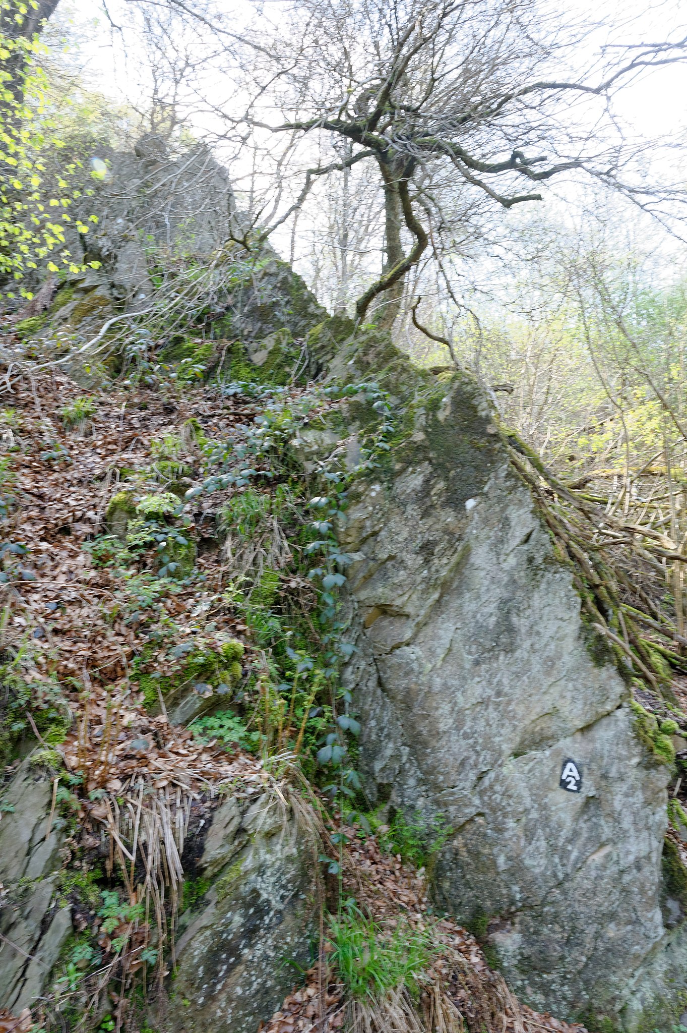
| Description | Naturschutzgebiet Unteres Morsbachtal mit Hölterfelder Siefen und Fürberger Bachtal | |||
| Date | ||||
| Source | Own work | |||
| Author | Michael Kramer | |||
| Permission (Reusing this file) |
I, the copyright holder of this work, hereby publish it under the following license: This file is licensed under the Creative Commons Attribution-Share Alike 4.0 International license.
|
| Camera location | | View this and other nearby images on: OpenStreetMap |
|---|
Licensing
[edit]
I, the copyright holder of this work, hereby publish it under the following license:
This file is licensed under the Creative Commons Attribution-Share Alike 4.0 International license.
- You are free:
- to share – to copy, distribute and transmit the work
- to remix – to adapt the work
- Under the following conditions:
- attribution – You must give appropriate credit, provide a link to the license, and indicate if changes were made. You may do so in any reasonable manner, but not in any way that suggests the licensor endorses you or your use.
- share alike – If you remix, transform, or build upon the material, you must distribute your contributions under the same or compatible license as the original.
This image was uploaded as part of Wiki Loves Earth 2016.
|
 |
I, the copyright holder of this work, hereby publish it under the following licenses:

|
Permission is granted to copy, distribute and/or modify this document under the terms of the GNU Free Documentation License, Version 1.2 or any later version published by the Free Software Foundation; with no Invariant Sections, no Front-Cover Texts, and no Back-Cover Texts. A copy of the license is included in the section entitled GNU Free Documentation License. |
This file is licensed under the Creative Commons Attribution-Share Alike 3.0 Unported, 2.5 Generic, 2.0 Generic and 1.0 Generic license.
- You are free:
- to share – to copy, distribute and transmit the work
- to remix – to adapt the work
- Under the following conditions:
- attribution – You must give appropriate credit, provide a link to the license, and indicate if changes were made. You may do so in any reasonable manner, but not in any way that suggests the licensor endorses you or your use.
- share alike – If you remix, transform, or build upon the material, you must distribute your contributions under the same or compatible license as the original.
You may select the license of your choice.
File history
Click on a date/time to view the file as it appeared at that time.
| Date/Time | Thumbnail | Dimensions | User | Comment | |
|---|---|---|---|---|---|
| current | 11:52, 16 May 2016 | | 2,832 × 4,256 (14.2 MB) | Michael.Kramer (talk | contribs) |
You cannot overwrite this file.
File usage on Commons
The following 2 pages use this file:
File usage on other wikis
The following other wikis use this file:
- Usage on de.wikipedia.org
- Hammertal (Remscheid)
- Naturschutzgebiet Oelingrather und Grunder Bachtal
- Naturschutzgebiet Unteres Morsbachtal mit Hölterfelder Siefen und Fürberger Bachtal
- Vorlage:Navigationsleiste Naturschutzgebiete in Remscheid
- Feldbachtal
- Wupper und Wupperhänge südlich Müngsten
- Dörpetal und Seitentäler
- Diepmannsbachtal und Seitenbäche
- Naturschutzgebiet Westerholt
- Tenter Bach und Bökerbach
- Panzertal
- Erlenbruchwald Beek am Grenzwall und Stöcker Bach
- Oberes Teufelsbachtal
- Schneppendahler Siepen
- Leyerbachtal
- Töckelhauser Bach
- Wilhelmsthaler und Haller Bachtal
- Naturschutzgebiet Kleebachtal
- Steinbruchgelände Hohenhagen
- Farrenbracker Bachtal
- Westener und Platzer Siefen
- Gelpe-Saalbach
- Oberlauf Marscheider Bachtal
- Eschbachtal (Remscheid)