File:Nagano géolocalisation relief.svg
Jump to navigation
Jump to search

Size of this PNG preview of this SVG file: 378 × 598 pixels. Other resolutions: 151 × 240 pixels | 303 × 480 pixels | 485 × 768 pixels | 647 × 1,024 pixels | 1,293 × 2,048 pixels | 631 × 999 pixels.
Original file (SVG file, nominally 631 × 999 pixels, file size: 4.1 MB)
Captions
Captions
Add a one-line explanation of what this file represents
Summary
[edit]
| Description |
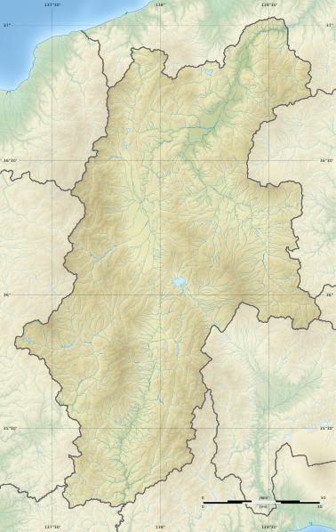
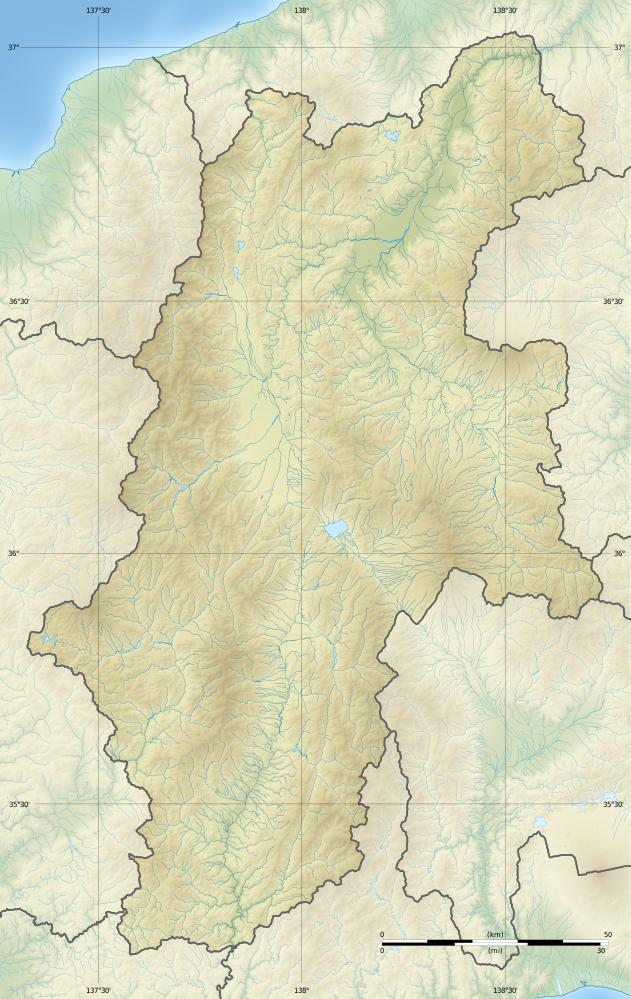
Français : Carte physique vierge de la préfecture de Nagano.
English: Blank physical map of the Nagano prefecture. |
| Date | |
| Source | Own work |
| Author | Flappiefh |
Licensing
[edit]
I, the copyright holder of this work, hereby publish it under the following license:
This file is licensed under the Creative Commons Attribution-Share Alike 4.0 International license.
- You are free:
- to share – to copy, distribute and transmit the work
- to remix – to adapt the work
- Under the following conditions:
- attribution – You must give appropriate credit, provide a link to the license, and indicate if changes were made. You may do so in any reasonable manner, but not in any way that suggests the licensor endorses you or your use.
- share alike – If you remix, transform, or build upon the material, you must distribute your contributions under the same or compatible license as the original.
File history
Click on a date/time to view the file as it appeared at that time.
| Date/Time | Thumbnail | Dimensions | User | Comment | |
|---|---|---|---|---|---|
| current | 20:30, 9 November 2016 | | 631 × 999 (4.1 MB) | Flappiefh (talk | contribs) |
You cannot overwrite this file.
File usage on Commons
The following 26 pages use this file:
- User:Flappiefh/gallery
- Category:Births in Nagano prefecture
- Category:Castles in Nagano prefecture
- Category:Companies based in Nagano prefecture
- Category:Dams in Nagano prefecture
- Category:Deaths in Nagano prefecture
- Category:Defunct companies based in Nagano prefecture
- Category:Education in Nagano prefecture
- Category:Hospitals in Nagano prefecture
- Category:Maps of Nagano prefecture
- Category:Michinoeki in Nagano prefecture
- Category:Mountains of Nagano prefecture
- Category:Nagano prefecture
- Category:Organizations in Nagano prefecture
- Category:People of Nagano prefecture
- Category:Power plants in Nagano prefecture
- Category:Rail transport in Nagano prefecture
- Category:Railway lines in Nagano prefecture
- Category:Rivers of Nagano prefecture
- Category:Roads in Nagano prefecture
- Category:Sports teams in Nagano prefecture
- Category:Towns in Nagano prefecture
- Category:Transport in Nagano prefecture
- Category:Views of Nagano prefecture
- Category:Villages in Nagano prefecture
- Category:Visitor attractions in Nagano prefecture
File usage on other wikis
The following other wikis use this file:
- Usage on ce.wikipedia.org
- Usage on de.wikipedia.org
- Präfektur Nagano
- Burg Matsumoto
- Ontake-san (Nagano)
- Suwa-See
- Ena (Berg)
- Kyōgatake
- Pumpspeicherkraftwerk Shin-Takasegawa
- Minakami (Berg)
- Hotaka-dake
- Nagawado-Talsperre
- Chūbu-Sangaku-Nationalpark
- Burg Takatō
- Burg Takashima
- Burg Komoro
- Burg Ueda
- Burg Matsushiro
- Vorlage:Positionskarte Japan Präfektur Nagano
- Yarigatake
- Akaishi-dake
- Shiomi-dake
- Norikura-dake
- Kisokomagatake
- Aka-dake (Yatsugatake)
- Usage on en.wikipedia.org
- Nagano Prefecture
- Battles of Kawanakajima
- Siege of Ueda
- Battle of Uedahara
- Zenkō-ji
- Battle of Un no Kuchi
- Battle of Sezawa
- Siege of Uehara
- Siege of Kuwabara
- Siege of Fukuyo
- Siege of Takatō (1545)
- Sieges of Toishi
- Ueda Castle
- Battle of Shiojiritoge
- Chūbu-Sangaku National Park
- Minami Alps National Park
- White Ring (arena)
- Siege of Takatō (1582)
- Mount Kirigamine
- Kurumayama
- Komoro Castle
- Nishina Shinmei Shrine
- 1984 Nagano earthquake
- Anraku-ji (Ueda)
- Horikirizawa Dam
- Ontake Prefectural Natural Park
View more global usage of this file.