File:Naval Air Station Lemoore, Kings County, California (21395616709).jpg

Original file (4,000 × 3,000 pixels, file size: 2.34 MB, MIME type: image/jpeg)
Captions
Captions
Summary[edit]
.jpg&action=edit§ion=1)
| Description |
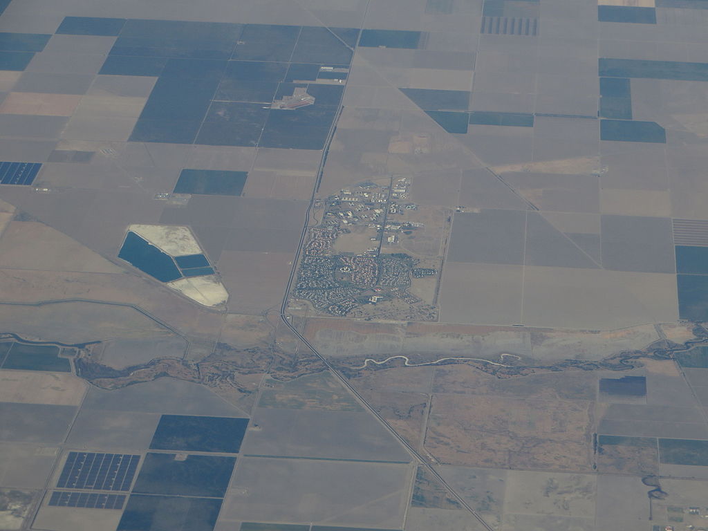
Naval Air Station Lemoore or NAS Lemoore is a United States Navy base, located in Kings County and Fresno County, California. Lemoore Station, California, a census-designated place, is located inside the base's borders. NAS Lemoore is the Navy's newest and largest Master Jet Base. Strike Fighter Wing Pacific, along with its associated squadrons, is home ported there. NAS Lemoore also hosts four Carrier Air Wings: Carrier Air Wing Two (CVW-2), Carrier Air Wing Nine (CVW-9), Carrier Air Wing Eleven (CVW-11), and Carrier Air Wing Seventeen (CVW-17). With the transfer of NAS Miramar to the United States Marine Corps, NAS Lemoore now hosts the Navy's entire west coast fighter/attack capability. NAS Lemoore was built “from the ground up” as a Master Jet Base, and has several operational advantages, and relatively few constraints, as a result. Strike Fighter Wing Pacific with its supporting facilities is home ported here. The primary aircraft based at NAS Lemoore is the F/A-18 Hornet Strike Fighter. In November, 1999, NAS Lemoore received its first F/A-18 E/F Super Hornets, which replaced the F-14 Tomcat in fleet service as an air-superiority fighter and has assumed, in a different configuration, the role of older F/A-18 Strike Fighters. Currently, there are a total of 175 Hornets and Super Hornets home-based at NAS Lemoore operating from one Fleet Replacement [training] Squadron and fifteen Fleet [operational] Squadrons. en.wikipedia.org/wiki/Naval_Air_Station_Lemoore en.wikipedia.org/wiki/Wikipedia:Text_of_Creative_Commons_... |
| Date | |
| Source | Naval Air Station Lemoore, Kings County, California |
| Author | Ken Lund from Reno, Nevada, USA |
| Camera location | | View this and other nearby images on: OpenStreetMap |
|---|
.jpg¶ms=036.282786_N_-119.609562_E_globe:Earth_type:camera_source:Flickr_&language=en)
Licensing[edit]
.jpg&action=edit§ion=2)
- You are free:
- to share – to copy, distribute and transmit the work
- to remix – to adapt the work
- Under the following conditions:
- attribution – You must give appropriate credit, provide a link to the license, and indicate if changes were made. You may do so in any reasonable manner, but not in any way that suggests the licensor endorses you or your use.
- share alike – If you remix, transform, or build upon the material, you must distribute your contributions under the same or compatible license as the original.
| This image was originally posted to Flickr by Ken Lund at https://flickr.com/photos/75683070@N00/21395616709. It was reviewed on 4 December 2015 by FlickreviewR and was confirmed to be licensed under the terms of the cc-by-sa-2.0. |
File history
Click on a date/time to view the file as it appeared at that time.
| Date/Time | Thumbnail | Dimensions | User | Comment | |
|---|---|---|---|---|---|
| current | 04:48, 4 December 2015 | | 4,000 × 3,000 (2.34 MB) | INeverCry (talk | contribs) | Transferred from Flickr via Flickr2Commons |
You cannot overwrite this file.
File usage on Commons
There are no pages that use this file.
File usage on other wikis
The following other wikis use this file:
- Usage on uk.wikipedia.org
.jpg&oldid=486365959)