File:Near Cañon de la Rosa - Flickr - aspidoscelis (1).jpg
Jump to navigation
Jump to search

Size of this preview: 800 × 533 pixels. Other resolutions: 320 × 213 pixels | 640 × 427 pixels | 1,024 × 683 pixels | 1,280 × 853 pixels | 2,560 × 1,707 pixels | 3,600 × 2,400 pixels.
Original file (3,600 × 2,400 pixels, file size: 4.28 MB, MIME type: image/jpeg)
Captions
Captions
Add a one-line explanation of what this file represents
Summary
[edit].jpg&action=edit§ion=1)
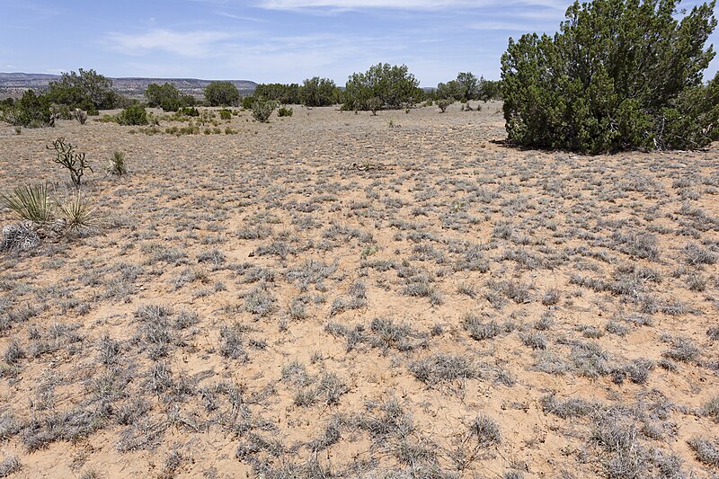
| Description | Near Cañon de la Rosa, east of Mesa Redonda, south-southwest of the Rayo Hills and northwest of Chupadera Mesa, 34.16541 -106.45960, Socorro County, New Mexico, 8 Jun 2017. Chenopodium watsonii, Yucca glauca, Malacothrix fendleri, Stephanomeria pauciflora, Townsendia fendleri, Cryptantha crassisepala, Descurainia pinnata, Cylindropuntia imbricata, Opuntia pottsii, Juniperus monosperma, Sphaeralcea coccinea, Sphaeralcea fendleri, Oenothera suffrutescens, Plantago patagonica, Bouteloua eriopoda, Bouteloua gracilis, Muhlenbergia torreyi, etc. |
| Date | |
| Source | Near Cañon de la Rosa |
| Author | Patrick Alexander from Las Cruces, NM |
| Camera location | | View this and other nearby images on: OpenStreetMap |
|---|
.jpg¶ms=034.165410_N_-106.459600_E_globe:Earth_type:camera_source:Flickr_&language=en)
Licensing
[edit].jpg&action=edit§ion=2)
| This file is made available under the Creative Commons CC0 1.0 Universal Public Domain Dedication. | |
| The person who associated a work with this deed has dedicated the work to the public domain by waiving all of their rights to the work worldwide under copyright law, including all related and neighboring rights, to the extent allowed by law. You can copy, modify, distribute and perform the work, even for commercial purposes, all without asking permission.
|
| This image was originally posted to Flickr by aspidoscelis at https://flickr.com/photos/26246711@N00/35124111761. It was reviewed on 4 October 2020 by FlickreviewR 2 and was confirmed to be licensed under the terms of the cc-zero. |
File history
Click on a date/time to view the file as it appeared at that time.
| Date/Time | Thumbnail | Dimensions | User | Comment | |
|---|---|---|---|---|---|
| current | 14:22, 4 October 2020 | | 3,600 × 2,400 (4.28 MB) | Josve05a (talk | contribs) | == {{int:filedesc}} == =={{int:filedesc}}== {{Information |Description=Near Cañon de la Rosa, east of Mesa Redonda, south-southwest of the Rayo Hills and northwest of Chupadera Mesa, 34.16541 -106.45960, Socorro County, New Mexico, 8 Jun 2017. ''Chenopodium watsonii, Yucca glauca, Malacothrix fendleri, Stephanomeria pauciflora, Townsendia fendleri, Cryptantha crassisepala, Descurainia pinnata, Cylindropuntia imbricata, Opuntia pottsii, Juniperus monosperma, Sphaeralcea coccinea, Sphaeralcea f... |
You cannot overwrite this file.
File usage on Commons
There are no pages that use this file.
.jpg&oldid=894176353)