File:Near East topographic map-blank.svg
Here nagîvasyonê
Here lêgerînê

Size of this PNG preview of this SVG file: 800 × 522 pîksel. Resolusyonên din: 320 × 209 pîksel | 640 × 417 pîksel | 1024 × 668 pîksel | 1280 × 835 pîksel | 2560 × 1669 pîksel | 2425 × 1581 pîksel.
Dosyeya orjînal (Daneya SVG, mezinbûna rast: 2425 × 1581 pixel; mezinbûna daneyê: 2,33 MB)
Captions
Captions
Add a one-line explanation of what this file represents
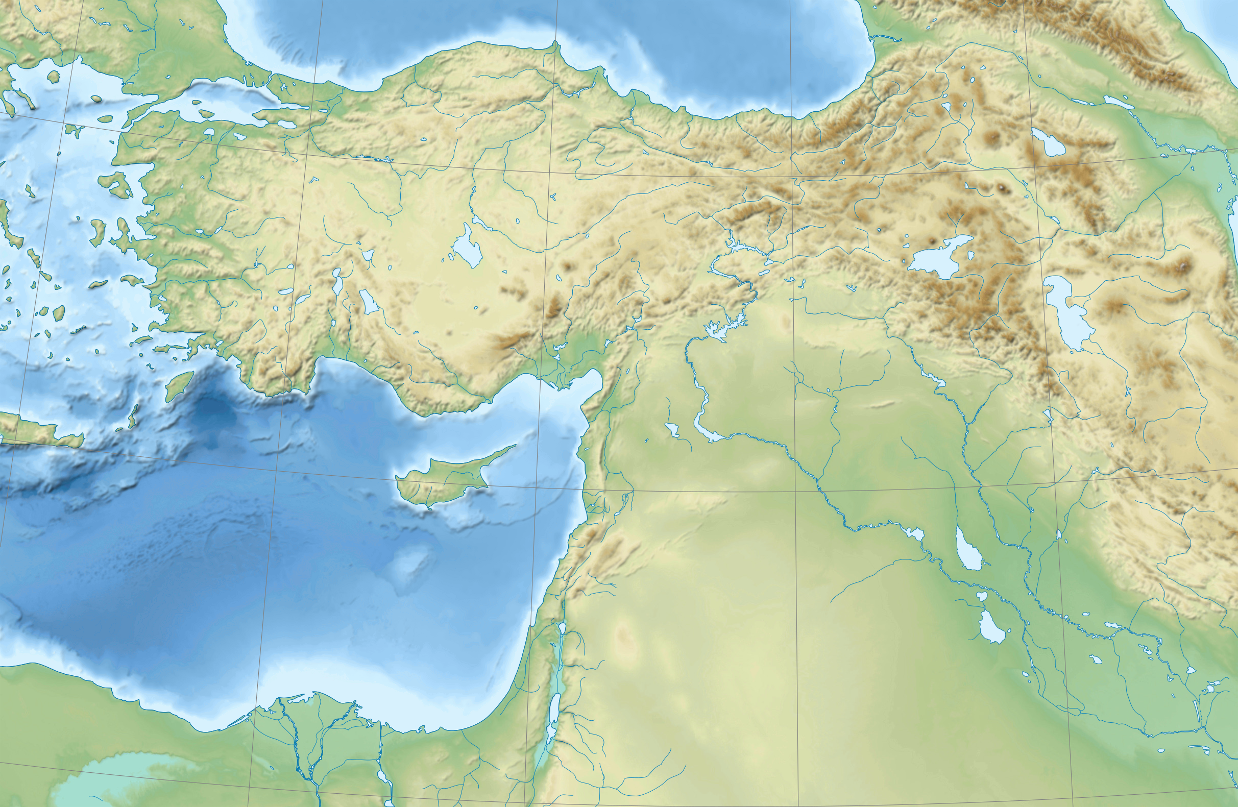
country map of the Near East
Danasîn[biguhêre]
| Şûnda kamerayê | | Ev wêne û yên din li ser OpenStreetMap |
|---|
Lîsans[biguhêre]
I, the copyright holder of this work, hereby publish it under the following licenses:
| Copyleft: This work of art is free; you can redistribute it and/or modify it according to terms of the Free Art License. You will find a specimen of this license on the Copyleft Attitude site as well as on other sites. |
This file is licensed under the Creative Commons Attribution-Share Alike 4.0 International, 3.0 Unported, 2.5 Generic, 2.0 Generic and 1.0 Generic license.
- Tu azad î:
- parve bike – ji bo kopîkirin, belavkirin û weşandina xebatê
- ji bo guhartin û adaptekirina naverokê – ji bo adaptekirina xebatê
- Di bin van mercan de:
- isnad – Divê tu isnadeke maqûl bikî, lînekek pêşkêş bikî ji bo lîsansê, û diyar bikî ku guhartin hatiye kirin an na. Tu dikarî vê yekê bi adilî bi cih bînî, lê ne bi awayê ku wekî lîsansor te an bikaranîna te pejirandibe.
- parvekirinê mîna hev – Ger tu materyalê biguherînî, bizivirînî formeke din, an ava bikî divê beşdariyên xwe di bin eynî lîsansê an lîsansa hevaheng de wekî ya eslî belav bikî.
Tu dikarî lîsansa ku tu dixwazî hilbijêrî.
Dîroka daneyê
Ji bo dîtina guhartoya wê demê bişkoka dîrokê bitikîne.
| Dîrok/Katjimêr | Wêneyê biçûk | Mezinahî | Bikarhêner | Şirove | |
|---|---|---|---|---|---|
| niha | 18:31, 18 tebax 2009 | | 2425 x 1581 (2,33 MB) | Sémhur (gotûbêj | beşdarî) | 3 - New try |
| 15:39, 17 tebax 2009 |  | 2425 x 1581 (1,73 MB) | Sémhur (gotûbêj | beşdarî) | 2 - With the background... | |
| 15:37, 17 tebax 2009 |  | 2425 x 1581 (3 KB) | Sémhur (gotûbêj | beşdarî) | {{Information |Description={{en|1=Blank physical map of the Near East}} {{fr|1=Carte physique vierge du Proche-Orient.}} |Source={{own}} |Author=Sémhur |Date=2008-08-17 |Permission= |other_versions |
Tu nikarî cardin li ser vê dosyeyê binivîsînî.
Bikaranîna pelê
Ev 52 rûpel li jêr vê dosyeyê bi kar tînin:
- File:Anatolie hittite.svg
- File:Asia Minor in the Greco-Roman period - general map - regions and main settlements.jpg
- File:Asia Minor in the Greco-Roman period - general map - regions and main settlements (cropped).jpg
- File:Assyrie general.PNG
- File:Babylone 1.PNG
- File:Basse Mesopotamie 1mil.png
- File:Basse Mesopotamie Akkad.png
- File:Basse Mesopotamie DA.PNG
- File:Basse Mesopotamie PB.PNG
- File:Basse Mesopotamie Ur3.png
- File:Carte du Mitanni.png
- File:First Eblaite Empire.png
- File:Haute Mesopotamie Syrie Parthes.svg
- File:Hethiter.svg
- File:KarumKanis.svg
- File:Kultorte.png
- File:Levant Amarna.svg
- File:Luwiya.svg
- File:Mithridates in 88aC.png
- File:Mithridates in 89aC.png
- File:Moyen Orient 1600 aC.svg
- File:Médio-assyrien.png
- File:Neo-hittites et arameens.svg
- File:Phenicie sites.svg
- File:Roma in Oriente 101aC.png
- File:Roma in Oriente 127aC.png
- File:Roma in Oriente 129aC.png
- File:Roma in Oriente 62aC.png
- File:Roma in Oriente 63aC.png
- File:Roma in Oriente 64aC.png
- File:Roma in Oriente 65aC.png
- File:Roma in Oriente 66aC.png
- File:Roma in Oriente 67aC.png
- File:Roma in Oriente 68aC.png
- File:Roma in Oriente 70-69aC.png
- File:Roma in Oriente 73-71aC.png
- File:Roma in Oriente 74aC.png
- File:Roma in Oriente 92aC.png
- File:Salmo kottelati distribution range.jpg
- File:Samsi Addu.PNG
- File:Second Eblaite Empire.png
- File:Second Mariote kingdom.png
- File:Sites hittites.svg
- File:Syrie 3mil aC.svg
- File:Syrie hittite.svg
- File:Third Mari.png
- File:Urartu extension.svg
- File:Urartu forteresses.JPG
- File:Urartu forteresses.svg
- File:Uruk period north.JPG
- File:Villes assyriennes.PNG
- File:Yamhad and Vassals.png
.jpg)
Bikaranîna gerdûnî ya pelê
Ev wîkiyên di rêzê de vê pelê bi kar tînin:
- Bikaranîna di ar.wikipedia.org de
- Bikaranîna di arz.wikipedia.org de
- Bikaranîna di azb.wikipedia.org de
- Bikaranîna di bn.wikipedia.org de
- Bikaranîna di de.wikipedia.org de
- Bikaranîna di en.wikipedia.org de
- Near East
- Retjenu
- Ottoman Army (1861–1922)
- Module:Location map/data/Ottoman Empire1914
- User:Zoeperkoe/sandbox
- Module:Location map/data/Ottoman Empire1914/doc
- User:Falcaorib
- User:Kentronhayastan/Origin of the Armenians
- Causes of the Armenian genocide
- User:Maka'alaKaono/sandbox
- User:Maka'alaKaono/Retjenu
- Bikaranîna di fr.wikipedia.org de
- Bikaranîna di ku.wikipedia.org de
- Bikaranîna di la.wikipedia.org de
- Bikaranîna di pt.wikipedia.org de
- Bikaranîna di ru.wikipedia.org de
- Bikaranîna di sd.wikipedia.org de
- Bikaranîna di si.wikipedia.org de
- Bikaranîna di th.wikipedia.org de
- Bikaranîna di war.wikipedia.org de
- Bikaranîna di zh.wikipedia.org de