File:Near Wolf Hollow - Flickr - aspidoscelis.jpg
Jump to navigation
Jump to search
Size of this preview: 800 × 533 pixels. Other resolutions: 320 × 213 pixels | 640 × 427 pixels | 1,024 × 683 pixels | 1,280 × 853 pixels | 2,560 × 1,707 pixels | 3,600 × 2,400 pixels.
Original file (3,600 × 2,400 pixels, file size: 4.37 MB, MIME type: image/jpeg)
Captions
Captions
Add a one-line explanation of what this file represents
Summary
[edit]
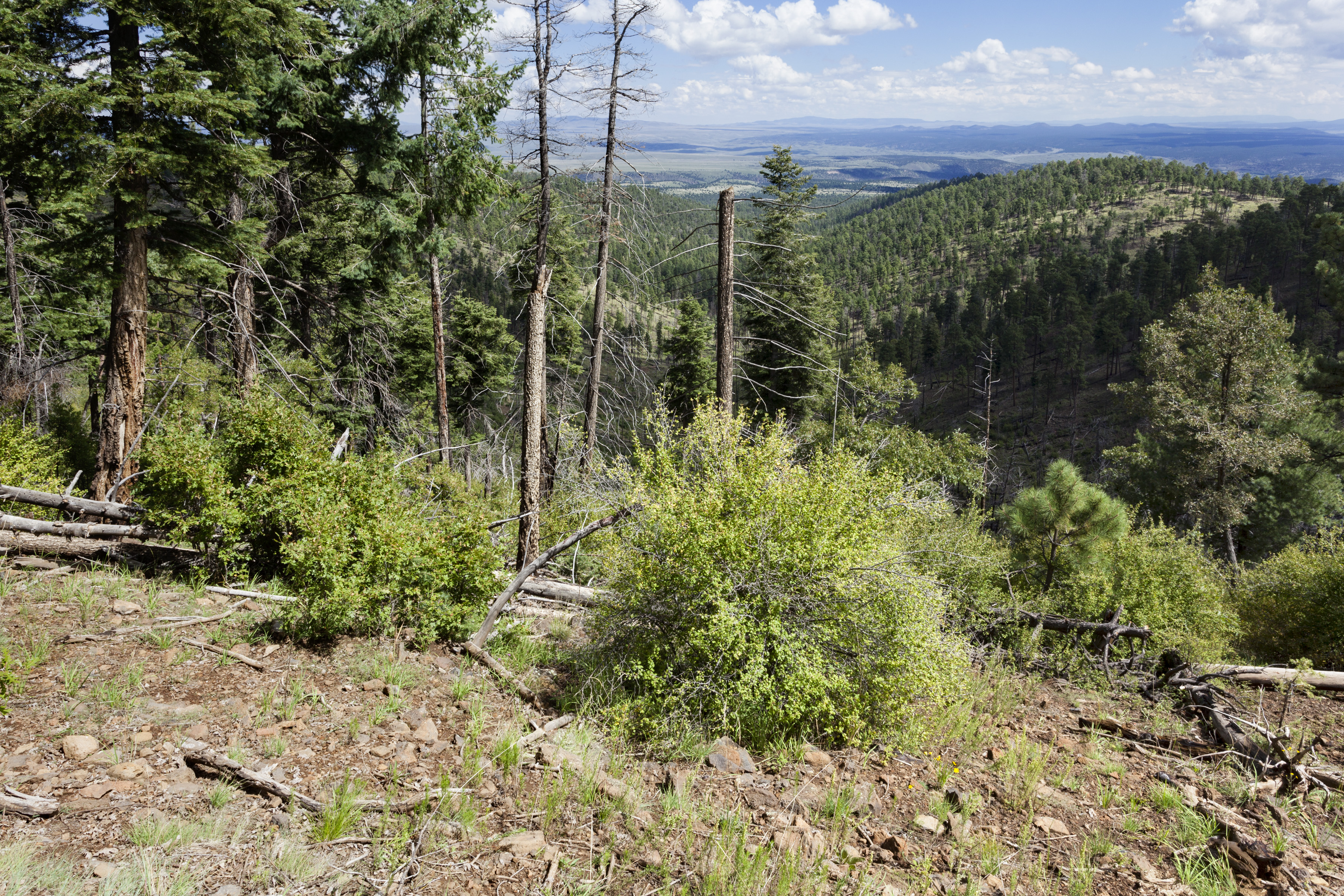
| Description | Northwest of the Black Range, Wolf Hollow Trail on the north side of Black Mountain, 33.39961 -108.22195, Catron County, New Mexico, 3 Sep 2016. Achillea millefolium, Amauriopsis dissecta, Antennaria marginata, Artemisia carruthii, Brickellia grandiflora, Cirsium wheeleri, Erigeron cf. flagellaris, Laënnecia schiedeana, Arenaria confusa, Cyperus fendlerianus, Lathyrus arizonicus, Quercus gambelii, Geranium caespitosum, Ribes pinetorum, Linum lewisii, Sphaeralcea fendleri, Oxalis decaphylla, Abies concolor, Pinus strobiformis, Pseudotsuga menziesii, Penstemon barbatus, Blepharoneuron tricholepis, Bromus ciliatus, Koeleria macrantha, Ipomopsis aggregata, Thalictrum fendleri, Fragaria vesca subsp. bracteata, Rubus idaeus, Verbascum thapsus, etc. |
| Date | |
| Source | Near Wolf Hollow |
| Author | Patrick Alexander from Las Cruces, NM |
| Camera location | | View this and other nearby images on: OpenStreetMap |
|---|
Licensing
[edit]
| This file is made available under the Creative Commons CC0 1.0 Universal Public Domain Dedication. | |
| The person who associated a work with this deed has dedicated the work to the public domain by waiving all of their rights to the work worldwide under copyright law, including all related and neighboring rights, to the extent allowed by law. You can copy, modify, distribute and perform the work, even for commercial purposes, all without asking permission.
|
| This image was originally posted to Flickr by aspidoscelis at https://flickr.com/photos/26246711@N00/31449327461. It was reviewed on 4 October 2020 by FlickreviewR 2 and was confirmed to be licensed under the terms of the cc-zero. |
File history
Click on a date/time to view the file as it appeared at that time.
| Date/Time | Thumbnail | Dimensions | User | Comment | |
|---|---|---|---|---|---|
| current | 20:44, 4 October 2020 | | 3,600 × 2,400 (4.37 MB) | Josve05a (talk | contribs) | == {{int:filedesc}} == =={{int:filedesc}}== {{Information |Description=Northwest of the Black Range, Wolf Hollow Trail on the north side of Black Mountain, 33.39961 -108.22195, Catron County, New Mexico, 3 Sep 2016. ''Achillea millefolium, Amauriopsis dissecta, Antennaria marginata, Artemisia carruthii, Brickellia grandiflora, Cirsium wheeleri, Erigeron'' cf. ''flagellaris, Laënnecia schiedeana, Arenaria confusa, Cyperus fendlerianus, Lathyrus arizonicus, Quercus gambelii, Geranium caespitosu... |
You cannot overwrite this file.
File usage on Commons
There are no pages that use this file.