File:Neueste komisch-ernste Karte von Europa für das Jahr 1877.pdf
Jump to navigation
Jump to search

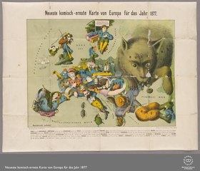
Size of this JPG preview of this PDF file: 700 × 599 pixels. Other resolutions: 280 × 240 pixels | 561 × 480 pixels | 897 × 768 pixels | 1,196 × 1,024 pixels | 2,393 × 2,048 pixels | 3,743 × 3,204 pixels.
Original file (3,743 × 3,204 pixels, file size: 7.39 MB, MIME type: application/pdf)
Captions
Captions
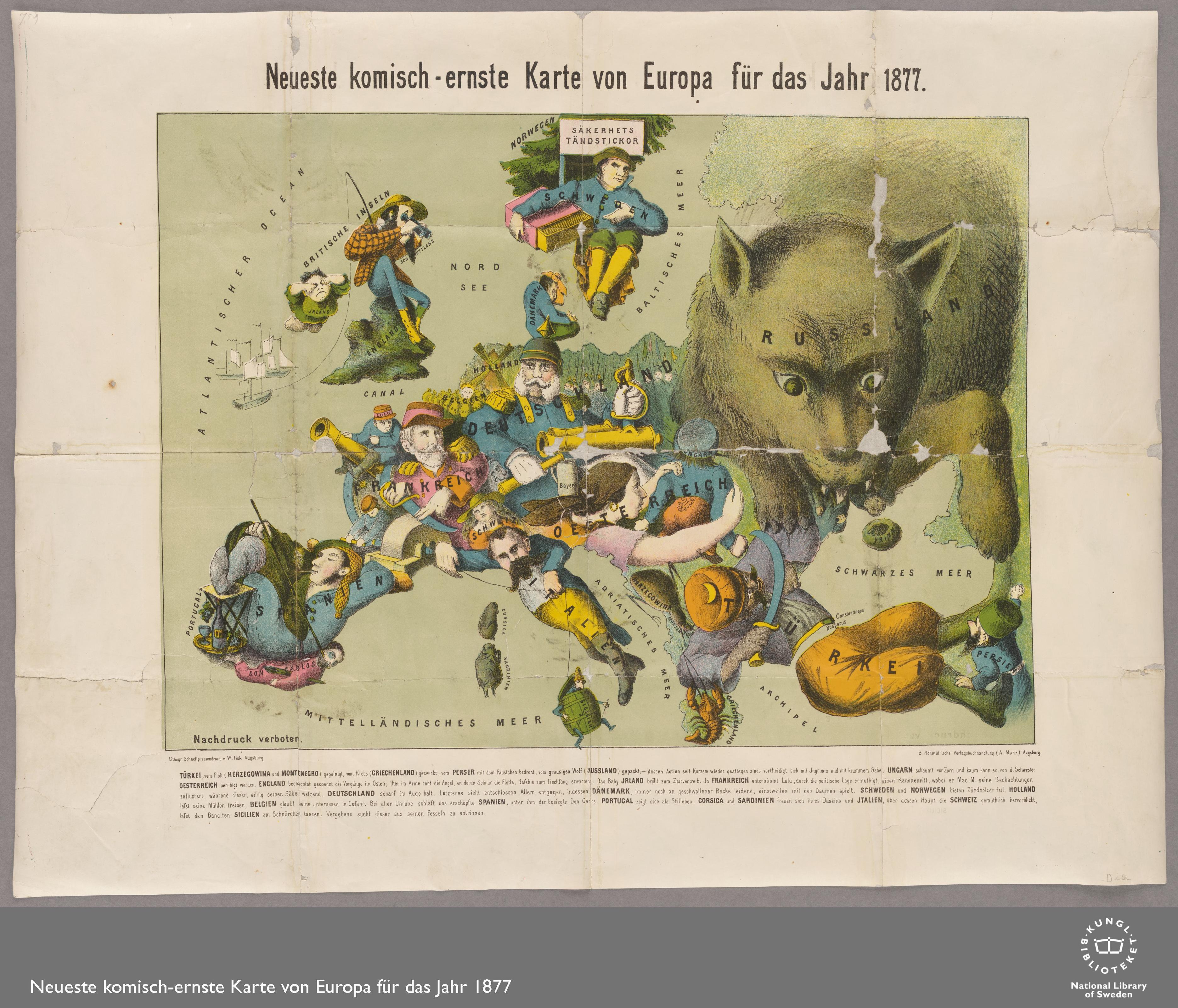
Satirical map of Europe in 1877
Summary
[edit]| Description |
English: Augsburg : B. Schmid'sche Verlagbuchhandlung, [1877?] |
||
| Date | |||
| Source |
|
||
| Author | National Library of Sweden |
Licensing
[edit]|
This work is in the public domain in its country of origin and other countries and areas where the copyright term is the author's life plus 70 years or fewer. This work is in the public domain in the United States because it was published (or registered with the U.S. Copyright Office) before January 1, 1929. | |
| This file has been identified as being free of known restrictions under copyright law, including all related and neighboring rights. | |
File history
Click on a date/time to view the file as it appeared at that time.
| Date/Time | Thumbnail | Dimensions | User | Comment | |
|---|---|---|---|---|---|
| current | 21:01, 7 February 2019 |  | 3,743 × 3,204 (7.39 MB) | Balkanique (talk | contribs) | User created page with UploadWizard |
You cannot overwrite this file.
File usage on Commons
There are no pages that use this file.
Metadata
Categories:
- 19th-century satirical maps
- 1877 maps of Europe
- German-language maps of Europe
- Caricatures of Russia
- Personifications of Turkey
- Personifications of Italy
- Personifications of Spain
- Personifications of Germany
- Personifications of Sweden
- Personifications of France
- Personifications of Denmark
- Personifications of Austria