File:New Zealand location map.svg
跳至導覽
跳至搜尋

此 SVG 檔案的 PNG 預覽的大小:475 × 599 像素。 其他解析度:190 × 240 像素 | 380 × 480 像素 | 609 × 768 像素 | 812 × 1,024 像素 | 1,623 × 2,048 像素 | 1,928 × 2,432 像素。
原始檔案 (SVG 檔案,表面大小:1,928 × 2,432 像素,檔案大小:220 KB)
說明
說明
添加單行說明來描述出檔案所代表的內容
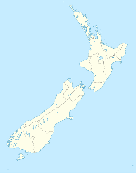
Geographic location of New Zealand in a map
摘要[編輯]
| 描述 |
Deutsch: Positionskarte von Neuseeland
Quadratische Plattkarte, N-S-Streckung 120 %. Geographische Begrenzung der Karte:
English: Location map of New Zealand
Equirectangular projection, N/S stretching 120 %. Geographic limits of the map:
Svenska: Plats karta över Nya Zeeland
Equirectangular projektion, N/S sträcker sig 120%. Geografiska gränser för kartan:
|
| 日期 | |
| 來源 |
own work, using
|
| 作者 | NordNordWest |
| 其他版本 |
Derivative works of this file: |
| SVG開發 |

授權條款[編輯]
我,本作品的著作權持有者,決定用以下授權條款發佈本作品:

|
已授權您依據自由軟體基金會發行的無固定段落、封面文字和封底文字GNU自由文件授權條款1.2版或任意後續版本,對本檔進行複製、傳播和/或修改。該協議的副本列在GNU自由文件授權條款中。 |
此檔案採用創用CC 姓名標示-相同方式分享 3.0 未在地化版本授權條款。
- 您可以自由:
- 分享 – 複製、發佈和傳播本作品
- 重新修改 – 創作演繹作品
- 惟需遵照下列條件:
- 姓名標示 – 您必須指名出正確的製作者,和提供授權條款的連結,以及表示是否有對內容上做出變更。您可以用任何合理的方式來行動,但不得以任何方式表明授權條款是對您許可或是由您所使用。
- 相同方式分享 – 如果您利用本素材進行再混合、轉換或創作,您必須基於如同原先的相同或兼容的條款,來分布您的貢獻成品。
您可以選擇您需要的授權條款。
檔案歷史
點選日期/時間以檢視該時間的檔案版本。
| 日期/時間 | 縮圖 | 尺寸 | 使用者 | 備註 | |
|---|---|---|---|---|---|
| 目前 | 2023年7月18日 (二) 16:05 | | 1,928 × 2,432(220 KB) | NordNordWest(留言 | 貢獻) | Auckland corr |
| 2009年8月13日 (四) 17:15 |  | 1,928 × 2,432(376 KB) | NordNordWest(留言 | 貢獻) | ||
| 2008年9月2日 (二) 20:22 |  | 1,928 × 2,432(376 KB) | NordNordWest(留言 | 貢獻) | {{Information |Description= {{de|Positionskarte von Neuseeland}} Quadratische Plattkarte, N-S-Streckung 120 %. Geographische Begrenzung der Karte: * N: 34.0° S * S: 48.3° S * W: 165.8° O * O: 179.4° O {{en|Location map of [[:en:New |
無法覆蓋此檔案。
檔案用途
下列33個頁面有用到此檔案:
- User:NordNordWest/Gallery/Location maps
- User:SandraF (WMF)/SDC explainer video credits
- User talk:NordNordWest/Archive13
- File:Auckland in New Zealand.svg
- File:Bay of Plenty in New Zealand.svg
- File:Canterbury in New Zealand.svg
- File:Chatham Islands in New Zealand.svg
- File:Chatham Islands in New Zealand (zoom).svg
- File:Gisborne in New Zealand.svg
- File:Hawke's Bay in New Zealand.svg
- File:Introduction to Structured Data on Wikimedia Commons.webm
- File:Kermadec Islands in New Zealand.svg
- File:Kermadec Islands in New Zealand (zoom).svg
- File:Manawatu-Wanganui in New Zealand.svg
- File:Marlborough in New Zealand.svg
- File:Nelson in New Zealand.svg
- File:Nelson in New Zealand (special marker).svg
- File:New Zealand Subantarctic Islands.svg
- File:New Zealand relief map.jpg
- File:Northland in New Zealand.svg
- File:Otago in New Zealand.svg
- File:Outlying Islands in New Zealand.svg
- File:Rwc11 venues.png
- File:Southland in New Zealand.svg
- File:Sub-Antarctic islands in New Zealand.svg
- File:Sub-Antarctic islands in New Zealand (zoom).svg
- File:Taranaki in New Zealand.svg
- File:Tasman in New Zealand.svg
- File:Three Kings Islands in New Zealand.svg
- File:Waikato in New Zealand.svg
- File:Wellington in New Zealand.svg
- File:West Coast in New Zealand.svg
- Category:New Zealand
.svg)
.svg)
.svg)
.svg)
全域檔案使用狀況
以下其他 wiki 使用了這個檔案:
- af.wikipedia.org 的使用狀況
- als.wikipedia.org 的使用狀況
- an.wikipedia.org 的使用狀況
- Plantilla:Mapa de localización Nueva Zelanda
- Auckland
- Queenstown (Nueva Zelanda)
- Arrowtown
- Rotorua
- Wanaka
- Matamata
- Mount Cook Village
- Christchurch
- Cambridge (Nueva Zelanda)
- Lake Tekapo
- Sky Tower (Auckland)
- Nelson (Nueva Zelanda)
- Tarras
- Te Anau
- Geraldine (Nueva Zelanda)
- Cardrona (Nueva Zelanda)
- Puent d'a badía d'Auckland
- Seu d'a Santisma Trinidat d'Auckland
- Seu de Cartón de Christchurch
- Puent penchau d'a foz d'o Kawarau
- Seu de Christchurch
- Seu d'o Santísmo Sacramento de Christchurch
- Wellington
- ar.wikipedia.org 的使用狀況
檢視此檔案的更多全域使用狀況。