File:Niger Nigeria border in Birni-N’Konni.jpg
Jump to navigation
Jump to search
Size of this preview: 800 × 450 pixels. Other resolutions: 320 × 180 pixels | 640 × 360 pixels | 912 × 513 pixels.
Original file (912 × 513 pixels, file size: 72 KB, MIME type: image/jpeg)
Captions
Captions
Add a one-line explanation of what this file represents
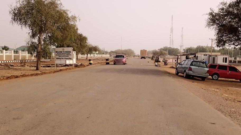
| Description | Niger Nigeria border in Birni-N’Konni | ||
| Date | 15:36:48.368Z | ||
| Source |
|
||
| Author | lattons @ Mapillary.com | ||
| Permission (Reusing this file) |
This file is licensed under the Creative Commons Attribution-Share Alike 4.0 International license.
|
||
| Other versions |
.jpg)
| Camera location | | View this and other nearby images on: OpenStreetMap |
|---|
File history
Click on a date/time to view the file as it appeared at that time.
| Date/Time | Thumbnail | Dimensions | User | Comment | |
|---|---|---|---|---|---|
| current | 17:04, 21 May 2021 | | 912 × 513 (72 KB) | Funke (talk | contribs) | File:Niger Nigeria border in Birni-N’Konni - Mapillary (zxC4iuGn1gOxd9GI1BygFK).jpg cropped 30 % horizontally, 11 % vertically using CropTool with precise mode. |
You cannot overwrite this file.
File usage on Commons
The following page uses this file:
File usage on other wikis
The following other wikis use this file:
- Usage on de.wikipedia.org