File:North Hertfordshire UK locator map.svg
Aller à la navigation
Aller à la recherche

Taille de cet aperçu PNG pour ce fichier SVG : 800 × 557 pixels. Autres résolutions : 320 × 223 pixels | 640 × 446 pixels | 1 024 × 713 pixels | 1 280 × 891 pixels | 2 560 × 1 782 pixels | 1 425 × 992 pixels.
Fichier d’origine (Fichier SVG, nominalement de 1 425 × 992 pixels, taille : 846 kio)
Légendes
Légendes
Ajoutez en une ligne la description de ce que représente ce fichier
| Description |
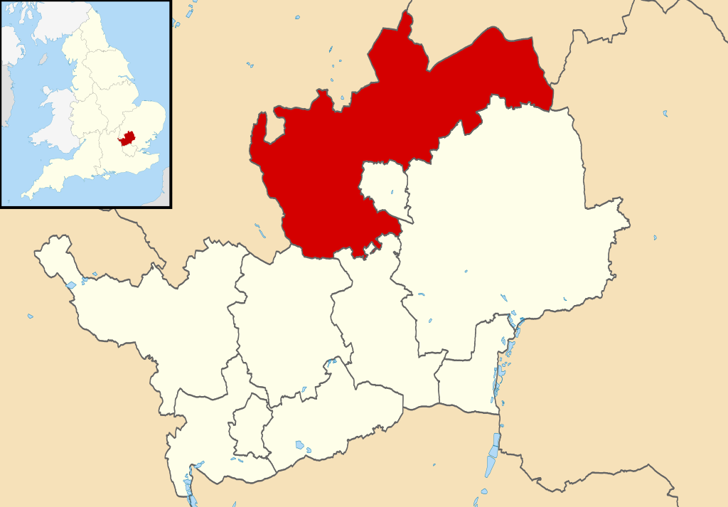
Map of Hertfordshire, UK with North Hertfordshire highlighted. Equirectangular map projection on WGS 84 datum, with N/S stretched 160% |
| Date | |
| Source |
|
| Auteur | Nilfanion, created using Ordnance Survey data |
| Autorisation (Réutilisation de ce fichier) |
Ce fichier est disponible selon les termes de la licence Creative Commons Attribution – Partage dans les Mêmes Conditions 3.0 (non transposée). Attribution: Contains Ordnance Survey data © Crown copyright and database right
|
Historique du fichier
Cliquer sur une date et heure pour voir le fichier tel qu'il était à ce moment-là.
| Date et heure | Vignette | Dimensions | Utilisateur | Commentaire | |
|---|---|---|---|---|---|
| actuel | 3 août 2011 à 22:50 | | 1 425 × 992 (846 kio) | Nilfanion (d | contributions) | {{Information |Description=Map of Hertfordshire, UK with North Hertfordshire highlighted. Equirectangular map projection on WGS 84 datum, with N/S stretched 160% |Source=Ordnance Survey |
Vous ne pouvez pas remplacer ce fichier.
Utilisations locales du fichier
La page suivante utilise ce fichier :
Utilisations du fichier sur d’autres wikis
Les autres wikis suivants utilisent ce fichier :
- Utilisation sur cy.wikipedia.org
- Utilisation sur en.wikipedia.org
- Utilisation sur es.wikipedia.org
- Utilisation sur frr.wikipedia.org
- Utilisation sur fr.wikipedia.org
- Letchworth Garden City
- Hitchin
- Ickleford
- Knebworth
- Baldock
- Royston (Hertfordshire)
- Ashwell (Hertfordshire)
- North Hertfordshire
- St Ippolyts
- Nuthampstead
- Reed (Royaume-Uni)
- Liste des paroisses civiles du Hertfordshire
- Barley (Hertfordshire)
- Barkway
- Modèle:Palette North Hertfordshire
- Bygrave
- Caldecote (Hertfordshire)
- Clothall
- Codicote
- Graveley (Hertfordshire)
- Great Ashby
- Hexton
- Hinxworth
- Holwell (Hertfordshire)
- Kelshall
- Kimpton (Hertfordshire)
- King's Walden
- Langley (Hertfordshire)
- Lilley (Hertfordshire)
- Newnham (Hertfordshire)
- Offley
- Pirton (Hertfordshire)
- Preston (Hertfordshire)
- Radwell (Hertfordshire)
- Rushden (Hertfordshire)
- Sandon (Hertfordshire)
- St Paul's Walden
- Therfield
- Wallington (Hertfordshire)
- Weston (Hertfordshire)
- Wymondley
- Utilisation sur ja.wikipedia.org
- Utilisation sur ko.wikipedia.org
- Utilisation sur nl.wikipedia.org
Voir davantage sur l’utilisation globale de ce fichier.