File:Norway Nordland location map.svg
跳至導覽
跳至搜尋

此 SVG 檔案的 PNG 預覽的大小:434 × 599 像素。 其他解析度:174 × 240 像素 | 348 × 480 像素 | 556 × 768 像素 | 742 × 1,024 像素 | 1,484 × 2,048 像素 | 684 × 944 像素。
原始檔案 (SVG 檔案,表面大小:684 × 944 像素,檔案大小:514 KB)
說明
說明
添加單行說明來描述出檔案所代表的內容
摘要
[編輯]| 描述 |
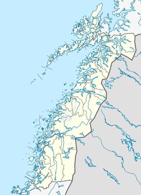
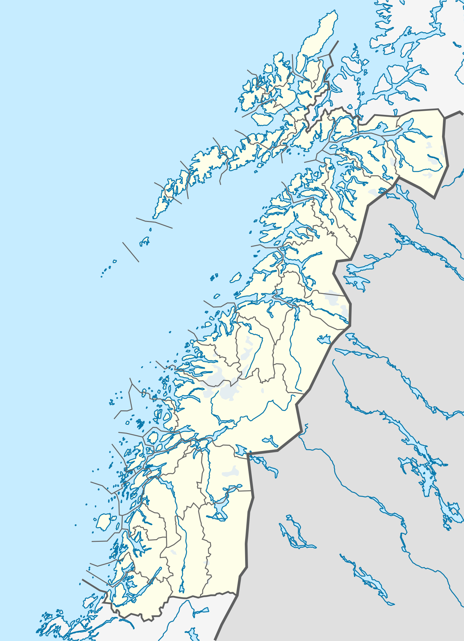
Quadratische Plattkarte, N-S-Streckung 255 %. Geographische Begrenzung der Karte:
Equirectangular projection, N/S stretching 255 %. Geographic limits of the map:
|
|
| 日期 | ||
| 來源 |
自己的作品, using
|
|
| 作者 | NordNordWest | |
| 授權許可 (重用此檔案) |
此檔案採用創用CC 姓名標示-相同方式分享 3.0 德國授權條款。
 此檔案採用創用CC 姓名標示-相同方式分享 3.0 德國授權條款。
|


|
|
檔案歷史
點選日期/時間以檢視該時間的檔案版本。
| 日期/時間 | 縮圖 | 尺寸 | 使用者 | 備註 | |
|---|---|---|---|---|---|
| 目前 | 2010年6月2日 (三) 21:30 | | 684 × 944(514 KB) | NordNordWest(留言 | 貢獻) | =={{int:filedesc}}== {{Information |Description= {{de|Positionskarte von Nordland, Norwegen}} Quadratische Plattkarte, N-S-Streckung 255 %. Geographische Begrenzung der Karte: * N: 69.4° N * S: 64.8° N * W: 10 |
無法覆蓋此檔案。
檔案用途
下列3個頁面有用到此檔案:
全域檔案使用狀況
以下其他 wiki 使用了這個檔案:
- ceb.wikipedia.org 的使用狀況
- de.wikipedia.org 的使用狀況
- en.wikipedia.org 的使用狀況
- frr.wikipedia.org 的使用狀況
- hy.wikipedia.org 的使用狀況
- no.wikipedia.org 的使用狀況
- pl.wikibooks.org 的使用狀況
- sv.wikipedia.org 的使用狀況
- uk.wikipedia.org 的使用狀況
- war.wikipedia.org 的使用狀況