File:Norway Troms og Finnmark adm location map.svg

Originalfil (SVG-fil, standardstorlek: 998 × 549 pixlar, filstorlek: 361 kbyte)
Bildtexter
Bildtexter
Sammanfattning
[redigera]
| Beskrivning |
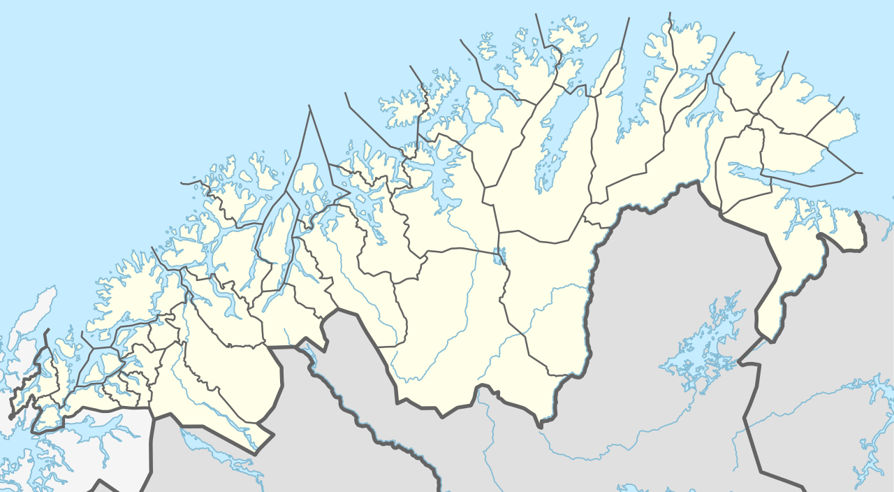
Deutsch: Positionskarte von Troms og Finnmark, Norwegen
English: Location map of Troms og Finnmark, Norway
|
||||||||||||
| Datum | |||||||||||||
| Källa | Eget arbete med hjälp av: United States National Imagery and Mapping Agency data | ||||||||||||
| Skapare | NordNordWest | ||||||||||||

|
This map has been made or improved in the German Kartenwerkstatt (Map Lab). You can propose maps to improve as well.
|
Licensiering
[redigera]
Usage of this file with:

explanatory notes: Legally binding is only the full legalcode. For a free usage I recommend to respect the following licence conditions:
1. Provide my name as given above: NordNordWest,
2. a copy of, or the URI for, the applicable license: https://creativecommons.org/licenses/by-sa/3.0/de/legalcode,
3. the title of the work,
4. in the case of an adaptation, a credit identifying the use of the work in the adaptation.
This license and the rights granted hereunder will terminate automatically upon any breach by you of the terms of this license. Any of the above conditions can be waived if you get permission from the copyright holder. If you have questions or wish differing conditions, please contact me through nnwest or my discussion page ![]() t-online.de
t-online.de
- Du är fri:
- att dela – att kopiera, distribuera och sända verket
- att remixa – att skapa bearbetningar
- På följande villkor:
- erkännande – Du måste ge lämpligt erkännande, ange en länk till licensen och indikera om ändringar har gjorts. Du får göra det på ett lämpligt sätt, men inte på ett sätt som antyder att licensgivaren stödjer dig eller din användning.
- dela lika – Om du remixar, transformerar eller bygger vidare på materialet måste du distribuera dina bidrag under samma eller en kompatibel licens som originalet.

Filhistorik
Klicka på ett datum/klockslag för att se filen som den såg ut då.
| Datum/Tid | Miniatyrbild | Dimensioner | Användare | Kommentar | |
|---|---|---|---|---|---|
| nuvarande | 9 augusti 2019 kl. 15.00 | | 998 × 549 (361 kbyte) | NordNordWest (diskussion | bidrag) | == {{int:filedesc}} == {{Information |Description= {{de|1=Positionskarte von Troms og Finnmark, Norwegen}} {{en|1=Location map of Troms og Finnmark, Norway}} {{Location map series N (conic)|top=71.3|longitude=23.25|latitude1=70.25|latitude2=69.25|bottom=68.15}} |Source={{Own using}} United States National Imagery and Mapping Agency data |Date=2019-08-09 |Author={{U|NordNordWest}} |Permission= |other_versions= }} {{Kartenwerkstatt}} == {{int:license-header}} == {{User:NordNordWest/LicenceMap}... |
Du kan inte skriva över denna fil.
Filanvändning
Följande 3 sidor använder den här filen:
Global filanvändning
Följande andra wikier använder denna fil:
- Användande på da.wikipedia.org
- Altafjord
- Malangen
- Porsangerfjorden
- Varangerfjorden
- Kvaløya (Finnmark)
- Balsfjorden
- Gisundbroen
- Lyngenfjorden
- Tanafjorden
- Ersfjorden (Tromsø)
- Kaldfjorden (Tromsø)
- Kistefjellet
- Loppa (ø)
- Seiland
- Lakselven
- Laksefjorden
- Vaggatem
- Øksfjordjøkelen
- Øksfjord
- Henrikkafossen
- Hamnvik
- Vågsfjorden (Troms)
- Evenskjer
- Dyrøybroen
- Sjøvegan
- Sagfjorden (Salangen)
- Straumsfjorden i Troms
- Sommarøya
- Rebbenesøya
- Jiehkkevárri
- Storsteinnes
- Piggtind
- Rostafjellet
- Vassdalsfjellet
- Lille Russetinden
- Finnsnes
- Silsand
- Setermoen
- Brøstadbotn
- Harstad (by)
- Borkenes
- Kvæfjorden
- Gullesfjorden
- Burfjord
- Hansnes
- Torsvåg fyr
- Olderdalen (Kåfjord)
- Lyngseidet
- Moen
- Storslett
Visa mer globalt användande av denna fil.