File:OSM Trails Working Group 2022-01-26 Unofficial Trails in New York.pdf
Jump to navigation
Jump to search

Size of this JPG preview of this PDF file: 800 × 450 pixels. Other resolutions: 320 × 180 pixels | 640 × 360 pixels | 1,024 × 576 pixels | 1,652 × 929 pixels.

Original file (1,652 × 929 pixels, file size: 1.82 MB, MIME type: application/pdf, 15 pages)
Captions
Captions
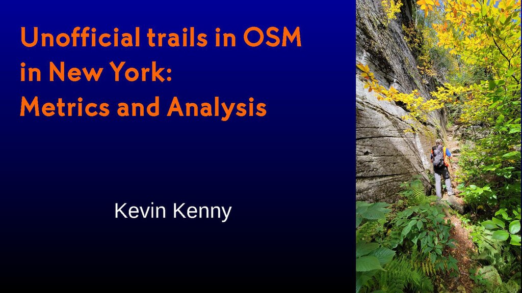
Presentation about OpenStreetMap statistics on official/unofficial trails on New York State Land
Summary
[edit]| Description |
English: Study attempting to identify "official"/"unofficial" status of trails mapped in OpenStreetMap based on proximity to trails mapped in an "authoritative" GIS data set from the managing agency. |
| Date | |
| Source | Own work |
| Author | Kevin B, Kenny |
Licensing
[edit]I, the copyright holder of this work, hereby publish it under the following license:
This file is licensed under the Creative Commons Attribution-Share Alike 4.0 International license.
- You are free:
- to share – to copy, distribute and transmit the work
- to remix – to adapt the work
- Under the following conditions:
- attribution – You must give appropriate credit, provide a link to the license, and indicate if changes were made. You may do so in any reasonable manner, but not in any way that suggests the licensor endorses you or your use.
- share alike – If you remix, transform, or build upon the material, you must distribute your contributions under the same or compatible license as the original.
File history
Click on a date/time to view the file as it appeared at that time.
| Date/Time | Thumbnail | Dimensions | User | Comment | |
|---|---|---|---|---|---|
| current | 00:51, 26 January 2022 |  | 1,652 × 929, 15 pages (1.82 MB) | Ke9tv (talk | contribs) | Uploaded own work with UploadWizard |
You cannot overwrite this file.
File usage on Commons
There are no pages that use this file.