File:OS Edition2 1895 25inch map of Lordship Lane N17 and N22.png
Jump to navigation
Jump to search
Size of this preview: 798 × 167 pixels. Other resolutions: 320 × 67 pixels | 640 × 134 pixels | 2,904 × 608 pixels.
Original file (2,904 × 608 pixels, file size: 1.16 MB, MIME type: image/png)
Captions
Captions
Add a one-line explanation of what this file represents
Summary[edit]
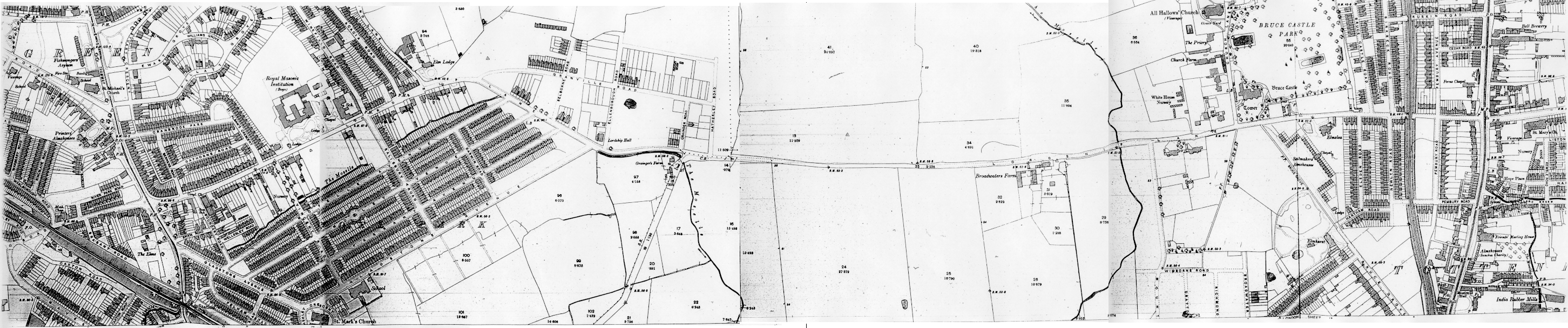
A mosaic of extracts from several sheets of the Ordnance Survey 2nd Edition 25" to the mile map of c1895, showing the area to the west of Tottenham (now part of London, England).
Licensing[edit]
This work created by the United Kingdom Government is in the public domain.
This is because it is one of the following:
HMSO has declared that the expiry of Crown Copyrights applies worldwide (ref: HMSO Email Reply)
|
 |
File history
Click on a date/time to view the file as it appeared at that time.
| Date/Time | Thumbnail | Dimensions | User | Comment | |
|---|---|---|---|---|---|
| current | 16:45, 1 April 2006 | 2,904 × 608 (1.16 MB) | Lcarsdata (talk | contribs) |
You cannot overwrite this file.
File usage on Commons
The following page uses this file:
File usage on other wikis
The following other wikis use this file:
- Usage on en.wikipedia.org