File:Odesa regions.svg
Jump to navigation
Jump to search

Size of this PNG preview of this SVG file: 432 × 599 pixels. Other resolutions: 173 × 240 pixels | 346 × 480 pixels | 554 × 768 pixels | 739 × 1,024 pixels | 1,477 × 2,048 pixels | 888 × 1,231 pixels.
Original file (SVG file, nominally 888 × 1,231 pixels, file size: 560 KB)
Captions
Captions
Add a one-line explanation of what this file represents
| Description |
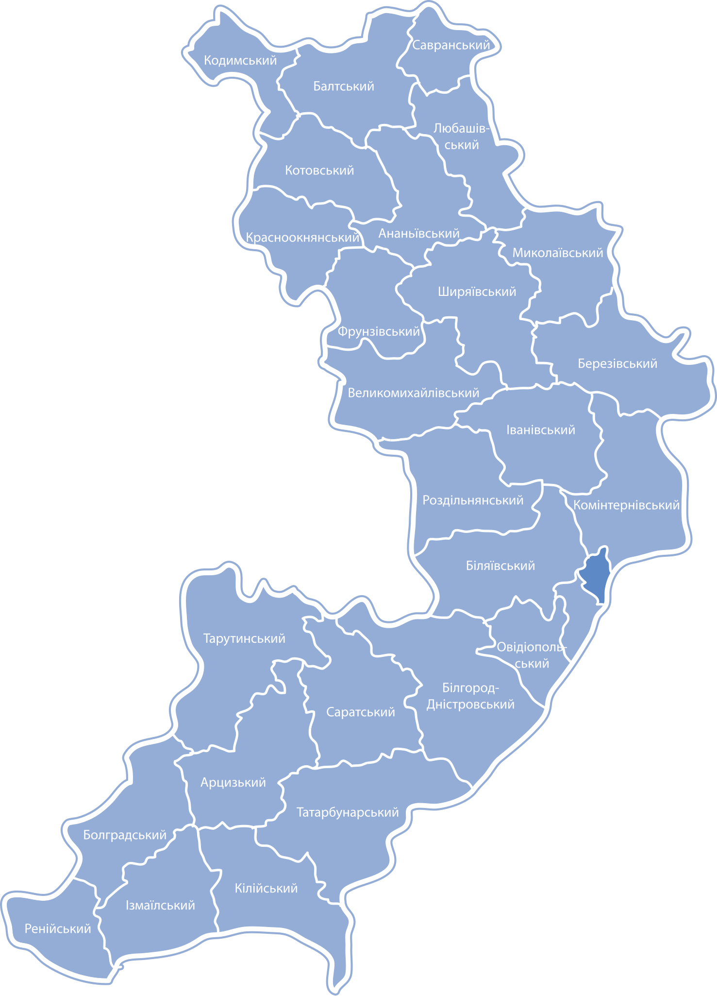
Українська: Карта-схема районів Одеської області |
| Date | Unknown date |
| Source | Own work |
| Author | Катерина Ткачова (Користувач:Kaha) |
| Permission (Reusing this file) |
This file is licensed under the Creative Commons Attribution-Share Alike 3.0 Unported license.
|
Original upload log[edit]
The original description page was here. All following user names refer to uk.wikipedia.
- 2009-01-20 11:01 VictorAnyakin 888×1231× (573408 bytes) {{Зображення|Назва=Odesa_regions.svg|Опис=Карта-схема районів Одеської області|Автор=Катерина Ткачова ([[Користувач:Kaha]])|Джерело=власна робота|Ча
File history
Click on a date/time to view the file as it appeared at that time.
| Date/Time | Thumbnail | Dimensions | User | Comment | |
|---|---|---|---|---|---|
| current | 11:39, 25 January 2013 | | 888 × 1,231 (560 KB) | BaseBot (talk | contribs) | automatted transfer from ukwikip using BaseSat's program |
You cannot overwrite this file.
File usage on Commons
The following page uses this file: