File:Ohanapecosh River in flood. slide (60c544c1200c4df1a18a79a39e52de9f).jpg
Jump to navigation
Jump to search

Size of this preview: 800 × 546 pixels. Other resolutions: 320 × 218 pixels | 640 × 437 pixels | 1,024 × 699 pixels | 1,280 × 873 pixels | 2,168 × 1,479 pixels.
Original file (2,168 × 1,479 pixels, file size: 805 KB, MIME type: image/jpeg)
Captions
Captions
Add a one-line explanation of what this file represents
Summary
[edit].jpg&action=edit§ion=1)
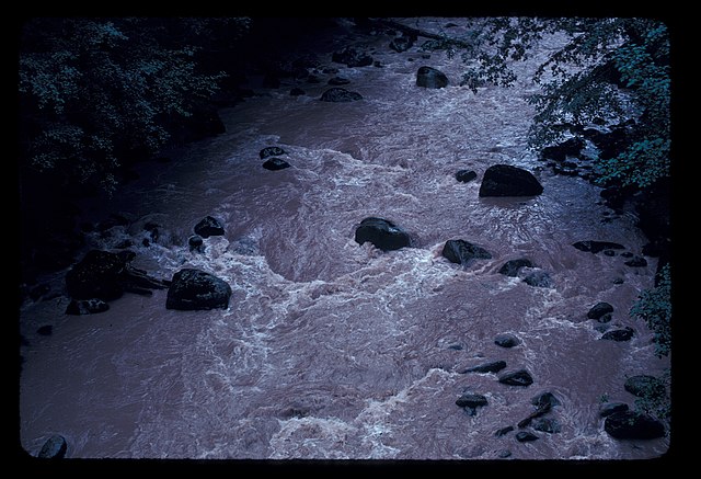
| English: flood | ||||
|---|---|---|---|---|
| Photographer |
English: Loren Lane (MORA) |
|||
| Title |
English: flood |
|||
| Publisher |
English: U.S. National Park Service |
|||
| Description |
English: flood Ohanapecosh River in flood. slide
|
|||
| Depicted place |
English: Ohanapecosh Campground bridge; Mount Rainier National Park, Washington; Latitude: 46.865608215332, Longitude: -121.682601928711 |
|||
| Date | Taken on 31 August 1981 | |||
| Accession number | ||||
| Source |
English: NPGallery |
|||
| Permission (Reusing this file) |
|
|||
| Contacts | English: Organization: U.S. National Park Service Address: 55210 238th Avenue East Ashford, WA 98304, Phone: 360.569.2211 |
|||
| NPS Unit Code | MORA | |||
File history
Click on a date/time to view the file as it appeared at that time.
| Date/Time | Thumbnail | Dimensions | User | Comment | |
|---|---|---|---|---|---|
| current | 11:28, 16 September 2019 | | 2,168 × 1,479 (805 KB) | BMacZeroBot (talk | contribs) | Batch upload (Commons:Batch uploading/NPGallery) |
You cannot overwrite this file.
File usage on Commons
The following page uses this file:
.jpg)
.jpg&oldid=752427182)