File:Ontario Northland train crosses the Missinaibi River at Mattice-Val Côté, Ontario.jpg
Jump to navigation
Jump to search
Size of this preview: 799 × 185 pixels. Other resolutions: 320 × 74 pixels | 1,200 × 278 pixels.
Original file (1,200 × 278 pixels, file size: 350 KB, MIME type: image/jpeg)
Captions
Captions
Add a one-line explanation of what this file represents
Summary
[edit]
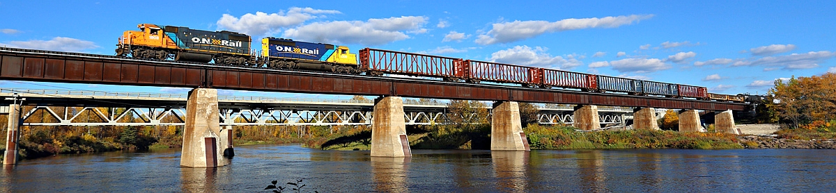
| Description | Ontario Northland train crosses the Missinaibi River at Mattice-Val Côté, Ontario. |
| Date | Taken on 25 September 2014, 16:09 |
| Source | Ontario Northland - Mattice, Ontario |
| Author | Jerry Huddleston from Hampton, Minnesota, US |
| Camera location | | View this and other nearby images on: OpenStreetMap |
|---|
Licensing
[edit]
This file is licensed under the Creative Commons Attribution 2.0 Generic license.
- You are free:
- to share – to copy, distribute and transmit the work
- to remix – to adapt the work
- Under the following conditions:
- attribution – You must give appropriate credit, provide a link to the license, and indicate if changes were made. You may do so in any reasonable manner, but not in any way that suggests the licensor endorses you or your use.
| This image, originally posted to Flickr, was reviewed on 23 February 2016 by the administrator or reviewer Leoboudv, who confirmed that it was available on Flickr under the stated license on that date. |
File history
Click on a date/time to view the file as it appeared at that time.
| Date/Time | Thumbnail | Dimensions | User | Comment | |
|---|---|---|---|---|---|
| current | 21:36, 16 March 2016 | 1,200 × 278 (350 KB) | Magnolia677 (talk | contribs) | Adjusted colours. | |
| 02:29, 23 February 2016 | 1,070 × 277 (314 KB) | Magnolia677 (talk | contribs) | Cropped. | ||
| 02:28, 23 February 2016 |  | 1,200 × 786 (557 KB) | Magnolia677 (talk | contribs) | {{Information |Description=Ontario Northland train crosses the Missinaibi River at Mattice-Val Côté, Ontario. |Source=[https://www.flickr.com/photos/huddleston/15396658185/ Ontario Northland - Mattice, Ontario] |Date=2014-09-25 16:09 |Author=[https:/... |
You cannot overwrite this file.
File usage on Commons
There are no pages that use this file.
File usage on other wikis
The following other wikis use this file:
- Usage on en.wikipedia.org
- Usage on ku.wikipedia.org
- Usage on pt.wikipedia.org
- Usage on ta.wikipedia.org