File:Pölzer Fließ im NSG Gramzow-Seen 25-04-2010 373b.jpg
Jump to navigation
Jump to search

Size of this preview: 800 × 600 pixels. Other resolutions: 320 × 240 pixels | 640 × 480 pixels | 1,024 × 768 pixels.
Original file (1,024 × 768 pixels, file size: 904 KB, MIME type: image/jpeg)
Captions
Captions
Add a one-line explanation of what this file represents
Summary[edit]
| Description |
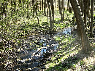
Deutsch: Das Pölzer Fließ im Naturschutzgebiet „Gramzow-Seen“ (zum Aufnahmezeitpunkt war dieses NSG noch nicht festgesetzt, sondern „im Verfahren“; Stand:3/2009). Das Pölzer Fließ entspringt ca. 2 km östlich von Altglobsow und mündet nach Passage des Großen- und des Kleinen Gramzower Sees in den Polzowkanal, gehört also zum Flußsystem der Havel. Der Bach ist naturbelassen und mäandriert stark. Er fließt durch eine beeindruckende Schlucht in der Granseeer Platte. Das Bachtal ist ein kalkreiches Niedermoor mit Braunmoos-Großseggenried-Pflanzengesellschaften. |
| Date | Taken on 25 April 2010 |
| Source | Own work |
| Author | Botaurus |
| Object location | | View this and other nearby images on: OpenStreetMap |
|---|
Licensing[edit]
| This work has been released into the public domain by its author, Botaurus. This applies worldwide. In some countries this may not be legally possible; if so: |
File history
Click on a date/time to view the file as it appeared at that time.
| Date/Time | Thumbnail | Dimensions | User | Comment | |
|---|---|---|---|---|---|
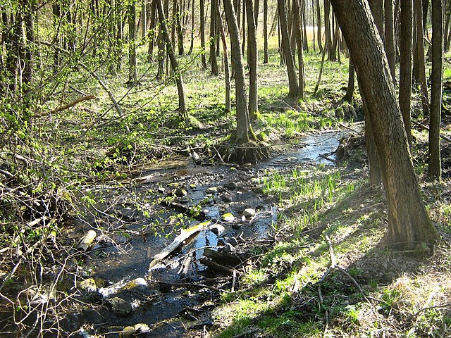
| current | 14:38, 2 May 2010 | | 1,024 × 768 (904 KB) | Botaurus (talk | contribs) | == {{int:filedesc}} == {{Information |Description= {{de|1=Das Pölzer Fließ im Naturschutzgebiet Gramzow-Seen. Dieses NSG ist noch nicht festgesetzt, sondern im "Verfahren" (Stand:3/2009). Das Pölzer Fließ entspringt ca. |
You cannot overwrite this file.
File usage on Commons
The following page uses this file:
File usage on other wikis
The following other wikis use this file:
- Usage on de.wikipedia.org
- Usage on www.wikidata.org