File:POL powiat grodzieński map.svg
Jump to navigation
Jump to search

Size of this PNG preview of this SVG file: 523 × 599 pixels. Other resolutions: 209 × 240 pixels | 419 × 480 pixels | 670 × 768 pixels | 894 × 1,024 pixels | 1,788 × 2,048 pixels | 750 × 859 pixels.
Original file (SVG file, nominally 750 × 859 pixels, file size: 18 KB)
Captions
Captions
Add a one-line explanation of what this file represents
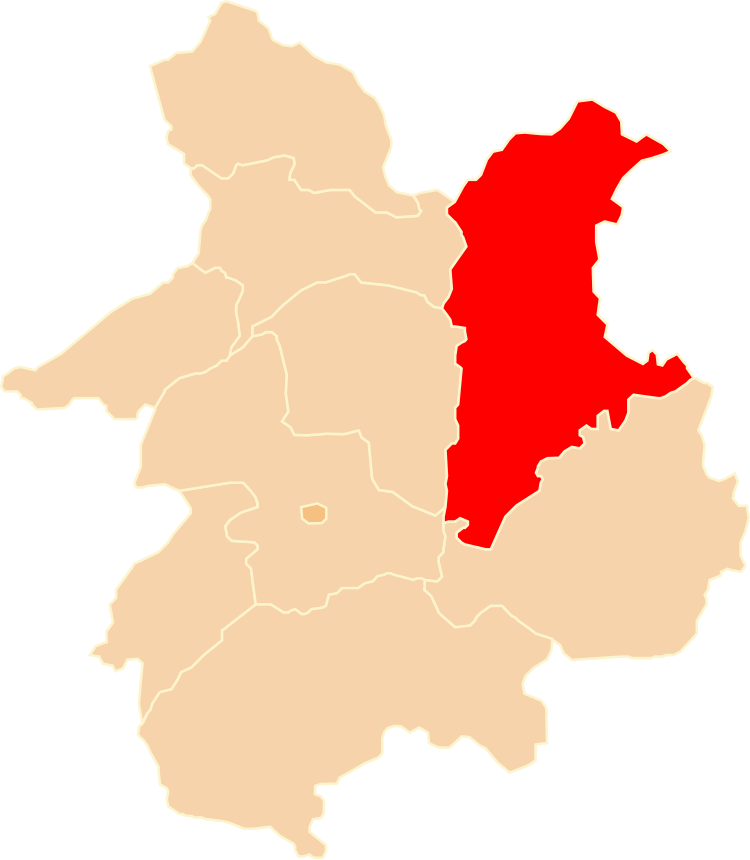
| Description | Położenie powiatu grodzieńskiego na mapie województwa białostockiego |
| Date | 3 October 2009 (upload date) |
| Source | Own work |
| Author | Poznaniak |
| Permission (Reusing this file) |
This file is licensed under the Creative Commons Attribution-Share Alike 2.5 Generic license.
|
File history
Click on a date/time to view the file as it appeared at that time.
| Date/Time | Thumbnail | Dimensions | User | Comment | |
|---|---|---|---|---|---|
| current | 13:05, 3 October 2009 | | 750 × 859 (18 KB) | Poznaniak (talk | contribs) | {{Information |Description=Położenie powiatu grodzieńskiego na mapie województwa białostockiego |Source=własna praca |Date=03.10.2009 |Author=Poznaniak |Permission={{cc-by-sa-2.5}} }} [[Category:Locato |
You cannot overwrite this file.
File usage on Commons
There are no pages that use this file.
File usage on other wikis
The following other wikis use this file:
- Usage on be-tarask.wikipedia.org
- Usage on be.wikipedia.org
- Usage on lt.wikipedia.org
- Usage on pl.wikipedia.org
- Usage on ru.wikipedia.org
- Usage on uk.wikipedia.org
- Usage on www.wikidata.org