File:Panama Chiriqui location map.svg
Jump to navigation
Jump to search

Size of this PNG preview of this SVG file: 619 × 600 pixels. Other resolutions: 248 × 240 pixels | 496 × 480 pixels | 793 × 768 pixels | 1,057 × 1,024 pixels | 2,114 × 2,048 pixels | 796 × 771 pixels.
Original file (SVG file, nominally 796 × 771 pixels, file size: 190 KB)
Captions
Captions
Add a one-line explanation of what this file represents
Summary[edit]
| Description |
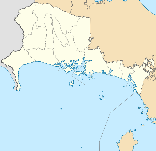
English: Location map of Chiriqui province, Panama
Español: Mapa de localización de la provincia de Chiriquí, Panamá
Geographic limits of the map:
|
| Date | |
| Source | Own work |
| Author | Milenioscuro |
Licensing[edit]
I, the copyright holder of this work, hereby publish it under the following license:
This file is licensed under the Creative Commons Attribution-Share Alike 3.0 Unported license.
- You are free:
- to share – to copy, distribute and transmit the work
- to remix – to adapt the work
- Under the following conditions:
- attribution – You must give appropriate credit, provide a link to the license, and indicate if changes were made. You may do so in any reasonable manner, but not in any way that suggests the licensor endorses you or your use.
- share alike – If you remix, transform, or build upon the material, you must distribute your contributions under the same or compatible license as the original.
File history
Click on a date/time to view the file as it appeared at that time.
| Date/Time | Thumbnail | Dimensions | User | Comment | |
|---|---|---|---|---|---|
| current | 05:02, 27 July 2017 | | 796 × 771 (190 KB) | Milenioscuro (talk | contribs) | new district |
| 12:11, 14 February 2013 |  | 796 × 771 (190 KB) | Milenioscuro (talk | contribs) | User created page with UploadWizard |
You cannot overwrite this file.
File usage on Commons
The following page uses this file:
File usage on other wikis
The following other wikis use this file:
- Usage on de.wikipedia.org
- Usage on en.wikipedia.org
- Usage on eo.wikipedia.org
- Usage on es.wikipedia.org
- Alto Boquete
- Bajo Boquete
- Puerto Armuelles
- Los Naranjos (Chiriquí)
- Dolega
- La Concepción (Chiriquí)
- Baco (Chiriquí)
- Progreso (Chiriquí)
- Lajas de Tolé
- Las Lomas (Chiriquí)
- Río Sereno (Chiriquí)
- Querévalo
- Palmira (Chiriquí)
- Lajas Adentro
- David (ciudad)
- Cerro Punta
- Wikiproyecto:Ilustración/Taller de Cartografía/Realizaciones/América del Norte
- Aserrío de Gariché
- Volcán (Chiriquí)
- Plantilla:Mapa de localización de Provincia de Chiriquí
- Divalá
- Guarumal (Chiriquí)
- Boquerón (Chiriquí)
- Bágala
- Pedregal (David)
- Sortová
- Los Anastacios
- Potrerillos Abajo
- Potrerillos (Chiriquí)
- Los Algarrobos (Chiriquí)
- Gualaca
- Monte Lirio
- Plaza de Caisán
- Horconcitos
- Tolé
- Bugaba
- Alanje
- Anexo:Corregimientos de Panamá
- El Tejar (Chiriquí)
- Palo Grande (Chiriquí)
- Santo Tomás (Chiriquí)
- Limones (Chiriquí)
View more global usage of this file.