File:Pascaert2.jpg
Jump to navigation
Jump to search
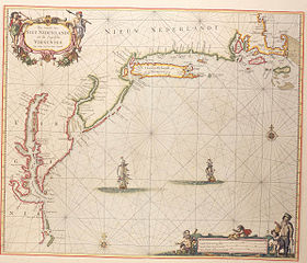
Size of this preview: 700 × 599 pixels. Other resolutions: 280 × 240 pixels | 561 × 480 pixels | 897 × 768 pixels | 1,196 × 1,024 pixels | 2,388 × 2,045 pixels.
Original file (2,388 × 2,045 pixels, file size: 789 KB, MIME type: image/jpeg)
Captions
Captions
Add a one-line explanation of what this file represents
Summary
[edit]
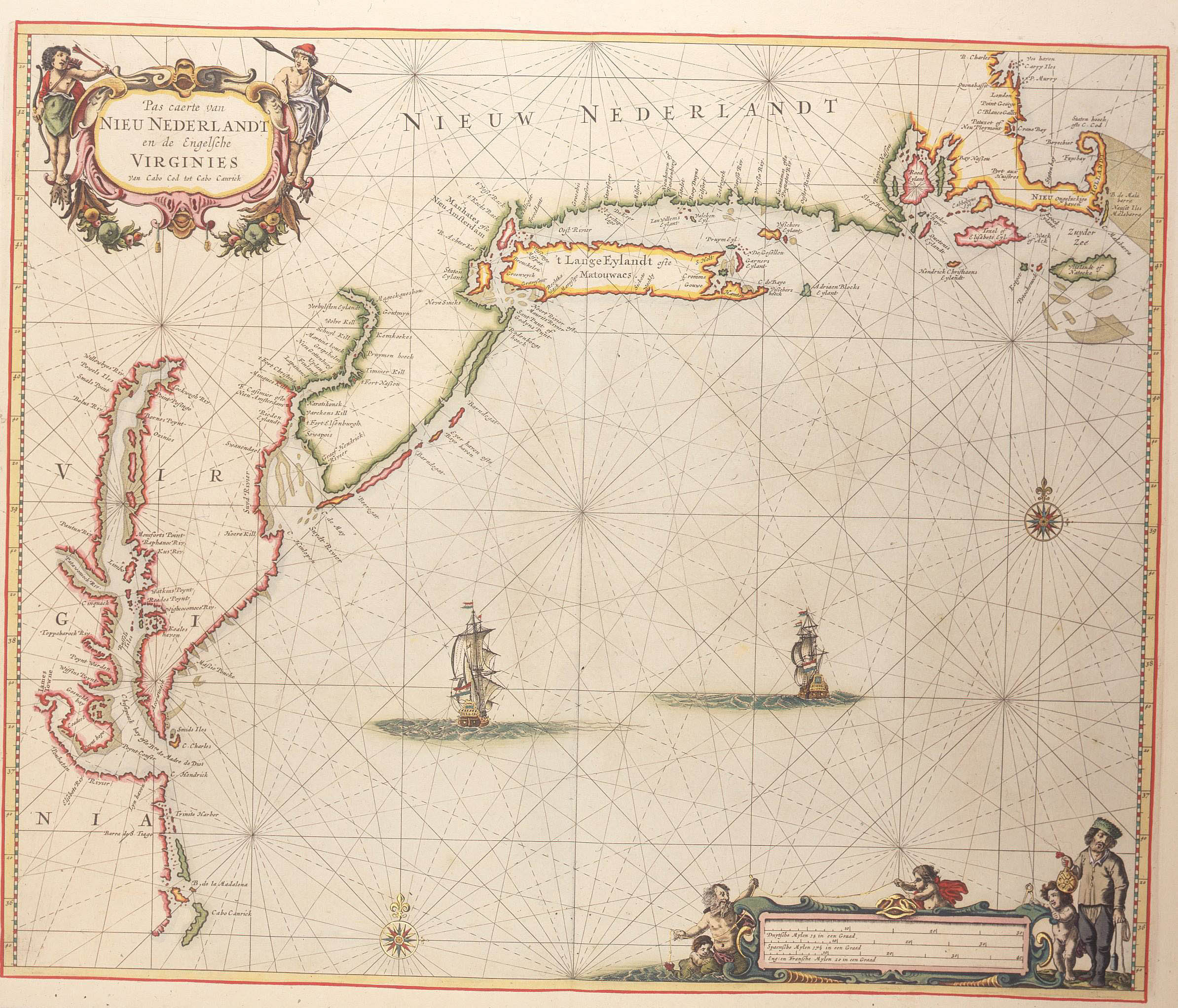
Map of New Netherland and Virginia (1667) - Large version
Pieter Goos, Pas Caerte van Nieu Nederlandt en de Engelsche Virginies, van Cabo Cod tot Cabo Canrick. (Chart of New Netherland and the English Virginias from Cape Cod to Cape Canrick.)
From: L'Atlas de la Mer, Amsterdam, 1667
| Pieter Goos
(–1675) |
|||
|---|---|---|---|
| Description | Dutch cartographer, instrument maker, publisher, copper engraver, editor and visual artist | ||
| Date of birth/death |
circa / 1616 |
1675 | |
| Location of birth/death | Amsterdam | Amsterdam | |
| Work location |
Amsterdam (1640–1675) | ||
| Authority file | |||
Licensing
[edit]
|
This work is in the public domain in its country of origin and other countries and areas where the copyright term is the author's life plus 100 years or fewer. | |
| This file has been identified as being free of known restrictions under copyright law, including all related and neighboring rights. | |
File history
Click on a date/time to view the file as it appeared at that time.
| Date/Time | Thumbnail | Dimensions | User | Comment | |
|---|---|---|---|---|---|
| current | 10:02, 13 March 2006 | | 2,388 × 2,045 (789 KB) | Dedden (talk | contribs) | Map of New Netherland and Virginia (1667) - Large version Pieter Goos, Pas Caerte van Nieu Nederlandt en de Engelsche Virginies, van Cabo Cod tot Cabo Canrick. (Chart of New Netherland and the English Virginias from Cape Cod to Cape Canrick.) From: L'At |
You cannot overwrite this file.
File usage on Commons
The following page uses this file:
File usage on other wikis
The following other wikis use this file:
- Usage on azb.wikipedia.org
- Usage on de.wikipedia.org
- Usage on nl.wikipedia.org