File:Pełczyce location map.svg
Jump to navigation
Jump to search

Size of this PNG preview of this SVG file: 566 × 599 pixels. Other resolutions: 227 × 240 pixels | 453 × 480 pixels | 726 × 768 pixels | 967 × 1,024 pixels | 1,935 × 2,048 pixels | 855 × 905 pixels.
Original file (SVG file, nominally 855 × 905 pixels, file size: 944 KB)
Captions
Captions
Add a one-line explanation of what this file represents
| Description |
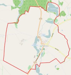
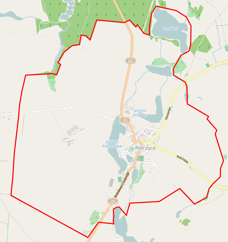
Polski: Mapa Pełczyc, Polska
English: Map of Pełczyce, Poland |
|||||||||
| Date | ||||||||||
| Source | You may find a page on the OpenStreetMap wiki page for Pełczyce | |||||||||
| Creator |
OpenStreetMap contributors OpenStreetMap contributors |
|||||||||
| Permission (Reusing this file) |
OpenStreetMap data is available under the Open Database License (details). Map tiles are licensed under the Creative Commons Attribution-ShareAlike 2.0 license (CC-BY-SA 2.0).
This file is licensed under the Creative Commons Attribution-Share Alike 2.0 Generic license.
|
|||||||||
| Geotemporal data | ||||||||||
| Bounding box |
|
|||||||||
| Georeferencing | If inappropriate please set warp_status = skip to hide. | |||||||||
File history
Click on a date/time to view the file as it appeared at that time.
| Date/Time | Thumbnail | Dimensions | User | Comment | |
|---|---|---|---|---|---|
| current | 05:34, 13 February 2015 | | 855 × 905 (944 KB) | ArkadiuszZ (talk | contribs) | {{OpenStreetMap | name = Pełczyce | location = Pełczyce | description = {{pl|Mapa Pełczyc, Polska}} {{en|Map of Pełczyce, Poland}} | top = 53.0690 | left = 15.2618 | right = 15.3310 |... |
You cannot overwrite this file.
File usage on Commons
There are no pages that use this file.
File usage on other wikis
The following other wikis use this file:
- Usage on pl.wikipedia.org
- Usage on pl.wikibooks.org
- Usage on pt.wikipedia.org