File:Perdido Key Discovery Trail East Trailhead (184990d0-646e-44ee-af9f-00f43b6ea097).jpg
Jump to navigation
Jump to search

Size of this preview: 800 × 600 pixels. Other resolutions: 320 × 240 pixels | 640 × 480 pixels | 1,024 × 768 pixels | 1,280 × 960 pixels | 2,560 × 1,920 pixels | 4,032 × 3,024 pixels.
Original file (4,032 × 3,024 pixels, file size: 2.68 MB, MIME type: image/jpeg)
Captions
Captions
Add a one-line explanation of what this file represents
| Camera location | | View this and other nearby images on: OpenStreetMap |
|---|
.jpg¶ms=030.302793_N_-087.415020_E_globe:Earth_type:camera_alt:0.96988_source:exif_heading:195.87&language=en)

|
The categories of this image need checking. You can do so here.
|
.jpg&action=edit&withJS=MediaWiki:Catcheck.js)
Summary
[edit].jpg&action=edit§ion=1)
| English: Perdido Key Discovery Trail East Trailhead | ||||
|---|---|---|---|---|
| Photographer |
English: Breault |
|||
| Title |
English: Perdido Key Discovery Trail East Trailhead |
|||
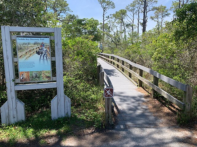
| Description |
English: Wooden boardwalk leading through green trees and plants. Wooden framed National Park Service sign on the left. Perdido Key Discovery Trail East Trailhead |
|||
| Depicted place |
English: Latitude: 30.3027930472222, Longitude: -87.4150196944445, Elevation: 0.96988; Gulf Islands National Seashore; Latitude: 30.3730602264404, Longitude: -86.9099731445313 |
|||
| Date | Taken on 23 April 2019 | |||
| Accession number | ||||
| Source |
English: NPGallery |
|||
| Permission (Reusing this file) |
|
|||
| NPS Unit Code | GUIS | |||
File history
Click on a date/time to view the file as it appeared at that time.
| Date/Time | Thumbnail | Dimensions | User | Comment | |
|---|---|---|---|---|---|
| current | 14:07, 13 January 2022 | | 4,032 × 3,024 (2.68 MB) | BMacZeroBot (talk | contribs) | Batch upload (Commons:Batch uploading/NPGallery) |
You cannot overwrite this file.
File usage on Commons
The following page uses this file:
.jpg)
.jpg&oldid=752066450)