File:Perth CBD 2018 gnangarra-100 stitch.jpg
Jump to navigation
Jump to search

Size of this preview: 800 × 355 pixels. Other resolutions: 320 × 142 pixels | 640 × 284 pixels | 1,024 × 455 pixels | 1,280 × 568 pixels | 2,560 × 1,136 pixels | 11,621 × 5,158 pixels.
Original file (11,621 × 5,158 pixels, file size: 15.24 MB, MIME type: image/jpeg)
Captions
Captions
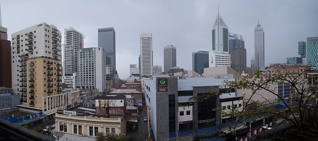
Perth CBD, from top floor of the Car park cnr Wellington and Barrack streets looking south
Summary[edit]
| Description |
English: Perth CBD, from top floor of the Car park cnr Wellington and Barrack streets looking south |
| Date | |
| Source | Own work - 4 image panorama |
| Author | Gnangarra |
| Camera location | | View this and other nearby images on: OpenStreetMap |
|---|
Licensing[edit]
I Gnangarra hereby publish Perth CBD 2018 gnangarra-100 stitch.jpg under Creative Commons Attribution 2.5 Australia License
Attribution requirement;
Photographs by Gnangarra...commons.wikimedia.org
| process functionality required template |
|---|
| process functionality requires a generic template that best reflected image licensing as prescribed above on the 13 September 2012, where there is any difference/conflict/discrepancy between what is described above as the image license and this template the above license as indicated takes precedence .
Gnangarra, the copyright holder of this work, hereby publishes it under the following license: This file is licensed under the Creative Commons Attribution 2.5 Australia license. Attribution: Photographs by Gnangarra...commons.wikimedia.org
 |
File history
Click on a date/time to view the file as it appeared at that time.
| Date/Time | Thumbnail | Dimensions | User | Comment | |
|---|---|---|---|---|---|
| current | 12:46, 26 June 2019 | | 11,621 × 5,158 (15.24 MB) | Gnangarra (talk | contribs) | User created page with UploadWizard |
You cannot overwrite this file.
File usage on Commons
There are no pages that use this file.