File:Perth and Kinross UK location map.svg
Zur Navigation springen
Zur Suche springen

Größe der PNG-Vorschau dieser SVG-Datei: 685 × 600 Pixel. Weitere Auflösungen: 274 × 240 Pixel | 548 × 480 Pixel | 877 × 768 Pixel | 1.169 × 1.024 Pixel | 2.339 × 2.048 Pixel | 1.425 × 1.248 Pixel.
Originaldatei (SVG-Datei, Basisgröße: 1.425 × 1.248 Pixel, Dateigröße: 1,71 MB)
Bildtexte
Kurzbeschreibungen
Ergänze eine einzeilige Erklärung, was diese Datei darstellt.
Royal infirmary
| Beschreibung |
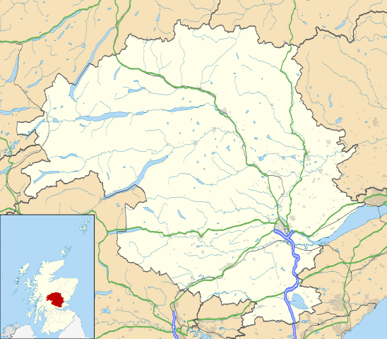
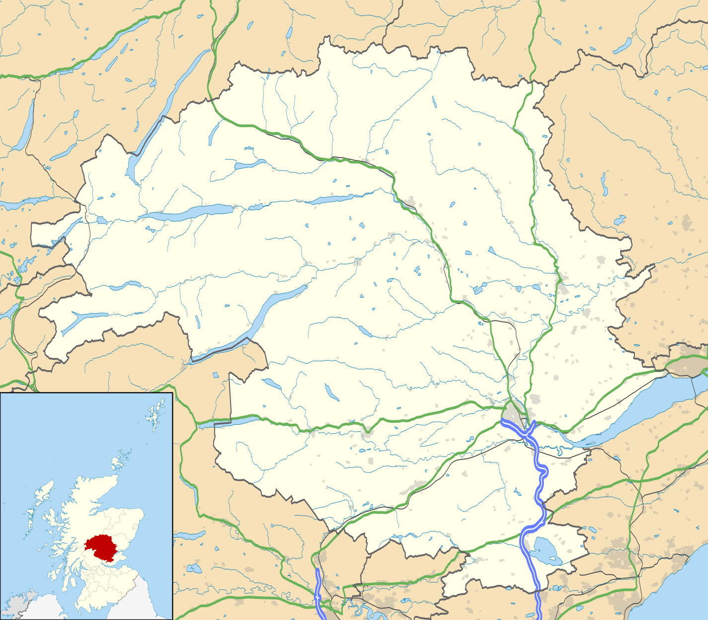
Blank map of Perth and Kinross, UK with the following information shown:
Equirectangular map projection on WGS 84 datum, with N/S stretched 180% Geographic limits:
|
| Datum | |
| Quelle |
|
| Urheber | Nilfanion, created using Ordnance Survey data |
| Genehmigung (Weiternutzung dieser Datei) |
Diese Datei ist unter der Creative-Commons-Lizenz „Namensnennung – Weitergabe unter gleichen Bedingungen 3.0 nicht portiert“ lizenziert. Namensnennung: Contains Ordnance Survey data © Crown copyright and database right
|
| Andere Versionen | File:Perth and Kinross UK blank map.svg - Blank map |
Dateiversionen
Klicke auf einen Zeitpunkt, um diese Version zu laden.
| Version vom | Vorschaubild | Maße | Benutzer | Kommentar | |
|---|---|---|---|---|---|
| aktuell | 20:21, 26. Sep. 2010 | | 1.425 × 1.248 (1,71 MB) | Nilfanion (Diskussion | Beiträge) | {{Information |Description=Blank map of Perth and Kinross, UK with the following information shown: *Administrative borders *Coastline, lakes and rivers *Roads and railways *Urban areas Equirectangular map projection on WGS 84 dat |
Du kannst diese Datei nicht überschreiben.
Dateiverwendung
Die folgende Seite verwendet diese Datei:
Globale Dateiverwendung
Die nachfolgenden anderen Wikis verwenden diese Datei:
- Verwendung auf ar.wikipedia.org
- Verwendung auf ba.wikipedia.org
- Verwendung auf bg.wikipedia.org
- Verwendung auf ceb.wikipedia.org
- Verwendung auf de.wikipedia.org
- Verwendung auf en.wikipedia.org
- Perth, Scotland
- List of monastic houses in Scotland
- Perth and Kinross
- Crieff
- Auchterarder
- Pitlochry
- Kinross
- Blairgowrie and Rattray
- Blair Atholl
- Inchtuthil
- Blair Castle
- Dunning, Perth and Kinross
- Milnathort
- Abernethy, Perth and Kinross
- Coupar Angus
- McDiarmid Park
- Aberfeldy, Perth and Kinross
- Scone Palace
- Broxden Junction
- Errol, Perth and Kinross
- Huntingtower and Ruthvenfield
- Comrie, Perth and Kinross
- Ardoch Roman Fort
- Kenmore, Perth and Kinross
- Abbots Deuglie
- Aberargie
- Abercairny
- Aberdalgie
- Abernyte
- Aberuthven
- Achalader
- Acharn, Perth and Kinross
- Achnafauld
- Airntully
- St Fillans
- Battle of Two Rivers
- Blackford, Perth and Kinross
- Dunkeld
- Killiecrankie
- Fortingall Yew
Weitere globale Verwendungen dieser Datei anschauen.