File:Pfaelzerwaldkarte Otterberger Wald.png
Jump to navigation
Jump to search

Size of this preview: 581 × 599 pixels. Other resolutions: 233 × 240 pixels | 465 × 480 pixels | 745 × 768 pixels | 993 × 1,024 pixels | 1,401 × 1,445 pixels.
Original file (1,401 × 1,445 pixels, file size: 3.21 MB, MIME type: image/png)
Captions
Captions
Add a one-line explanation of what this file represents
Summary
[edit]
| Description | |
| Date | |
| Source |
Own work
|
| Author | Elop, based on work by Lencer |
| Other versions |
|
Licensing
[edit]

|
Permission is granted to copy, distribute and/or modify this document under the terms of the GNU Free Documentation License, Version 1.2 or any later version published by the Free Software Foundation; with no Invariant Sections, no Front-Cover Texts, and no Back-Cover Texts. A copy of the license is included in the section entitled GNU Free Documentation License. |
File history
Click on a date/time to view the file as it appeared at that time.
| Date/Time | Thumbnail | Dimensions | User | Comment | |
|---|---|---|---|---|---|
| current | 21:28, 8 February 2012 | | 1,401 × 1,445 (3.21 MB) | Elop (talk | contribs) | vollständiges Update |
| 13:26, 19 December 2011 |  | 818 × 587 (789 KB) | Elop (talk | contribs) | Update | |
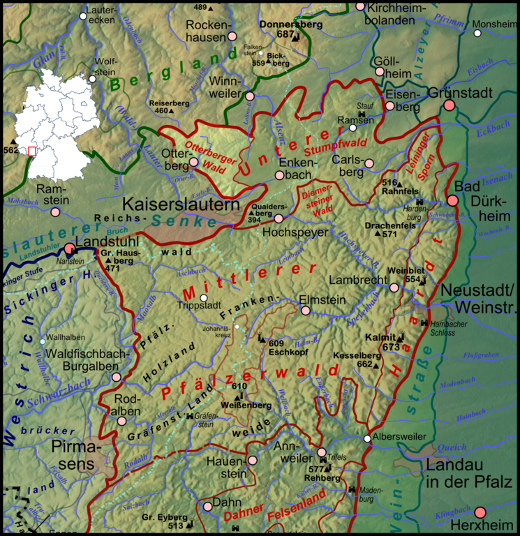
| 18:21, 11 December 2011 |  | 817 × 1,139 (1.55 MB) | Elop (talk | contribs) | == Summary == {{Information |Description ={{de|1=Lagekarte des de:Otterberger Waldes (farblich hervorgehoben) im äußersten Nordwesten des Pfälzerwaldes}} |Source ={{own}} *[[:File:Karte Pfälzerwald.png|Alte Hauptk |
You cannot overwrite this file.
File usage on Commons
The following page uses this file:
File usage on other wikis
The following other wikis use this file: