File:Pinetown N3 - panoramio.jpg
Jump to navigation
Jump to search

Size of this preview: 800 × 533 pixels. Other resolutions: 320 × 213 pixels | 640 × 427 pixels | 1,024 × 683 pixels | 1,280 × 853 pixels | 1,920 × 1,280 pixels.
Original file (1,920 × 1,280 pixels, file size: 1.83 MB, MIME type: image/jpeg)
Captions
Captions
Add a one-line explanation of what this file represents
Summary[edit]
| Description |
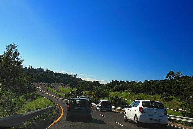
"Photo taken in Farningham Ridge, Pinetown, 3610, South Africa" (note: the location is east of Farningham Ridge) English: Intersection between the M13 Highway (King Cetshwayo Highway) and N3 freeway at Paradise Valley in Pinetown, KwaZulu-Natal, South Africa |
||
| Date | Taken on 14 April 2012 | ||
| Source | https://web.archive.org/web/20161025154919/http://www.panoramio.com/photo/77526022 | ||
| Author | landagent | ||
| Permission (Reusing this file) |
This file is licensed under the Creative Commons Attribution-Share Alike 3.0 Unported license. Attribution: landagent
|
||
| Tags (from Panoramio photo page) | Pinetown, 2012, 南非, 夸祖鲁-纳塔尔省, 派恩敦 |
| Camera location | | View this and other nearby images on: OpenStreetMap |
|---|
File history
Click on a date/time to view the file as it appeared at that time.
| Date/Time | Thumbnail | Dimensions | User | Comment | |
|---|---|---|---|---|---|
| current | 17:37, 18 January 2017 | | 1,920 × 1,280 (1.83 MB) | Panoramio upload bot (talk | contribs) | == {{int:filedesc}} == {{Information |description=Pinetown N3 |date={{Taken on|2012-04-14}} |source=http://www.panoramio.com/photo/77526022 |author=[http://www.panoramio.com/user/345378?with_photo_id=77526022 landagent] |permission={{cc-by-sa-3.0|land... |
You cannot overwrite this file.
File usage on Commons
The following page uses this file:
File usage on other wikis
The following other wikis use this file: