File:Plan of the bay, town, fortifications, and environs, of St. Pierre, in the island of Martinique. LOC 74691322.jpg
Jump to navigation
Jump to search

Size of this preview: 800 × 515 pixels. Other resolutions: 320 × 206 pixels | 640 × 412 pixels | 1,024 × 659 pixels | 1,280 × 824 pixels | 2,560 × 1,649 pixels | 8,169 × 5,261 pixels.
Original file (8,169 × 5,261 pixels, file size: 7.47 MB, MIME type: image/jpeg)
Captions
Captions
Add a one-line explanation of what this file represents
Summary
[edit]| Description |
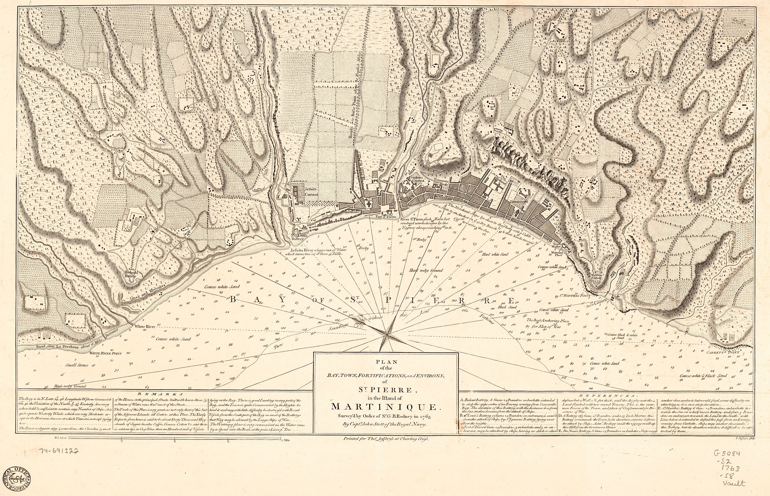
English: Scale ca. 1:8,400. Relief shown by hachures. Depths shown by soundings. Oriented with north toward the upper left. Stamped on: Hydrographical Office. Includes descriptive index and text. LC Maps of North America, 1750-1789, 2055 Available also through the Library of Congress Web site as a raster image. Vault AACR2: 100; 651/1; 650/2; 650/3; 651/4; 700/1 |
||
| Title | Plan of the bay, town, fortifications, and environs, of St. Pierre, in the island of Martinique. | ||
| Shelf ID | G5084.S2 1763 .S8 | ||
| Date | |||
| Source | https://www.loc.gov/item/74691322/ | ||
| Author | Stott, John; Jefferys, Thomas; Rodney, George Brydges Rodney | ||
| Permission (Reusing this file) |
|
||
| Other versions |
|
||
| Location | Saint-Pierre · Saint · Pierre · Saint-Pierre. · Martinique | ||
| Part of | Cities And Towns · Military Battles And Campaigns · Catalog · American Memory · Geography And Map Division · American Revolution And Its Era: Maps And Charts Of North America And The West Indies, 1750-1789 | ||
| Subject | Saint-Pierre · Fortification · Maps · Early Works To 1800 · Buildings, Structures, Etc · Martinique · Saint-Pierre (Martinique) · Harbors |


Licensing
[edit]
|
This is a faithful photographic reproduction of a two-dimensional, public domain work of art. The work of art itself is in the public domain for the following reason:
The official position taken by the Wikimedia Foundation is that "faithful reproductions of two-dimensional public domain works of art are public domain".
This photographic reproduction is therefore also considered to be in the public domain in the United States. In other jurisdictions, re-use of this content may be restricted; see Reuse of PD-Art photographs for details. | ||||
File history
Click on a date/time to view the file as it appeared at that time.
| Date/Time | Thumbnail | Dimensions | User | Comment | |
|---|---|---|---|---|---|
| current | 10:54, 9 July 2019 | | 8,169 × 5,261 (7.47 MB) | Fæ (talk | contribs) | LOC Maps https://www.loc.gov/item/74691322/ #18813 |
You cannot overwrite this file.
File usage on Commons
The following page uses this file: