File:Powys UK location map.svg
Salta a la navegació
Salta a la cerca

Mida d'aquesta previsualització PNG del fitxer SVG: 424 × 599 píxels. Altres resolucions: 170 × 240 píxels | 340 × 480 píxels | 544 × 768 píxels | 725 × 1.024 píxels | 1.450 × 2.048 píxels | 924 × 1.305 píxels.
Fitxer original (fitxer SVG, nominalment 924 × 1.305 píxels, mida del fitxer: 1,75 Mo)
Llegendes
Llegendes
Afegeix una explicació d'una línia del que representa aquest fitxer
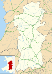
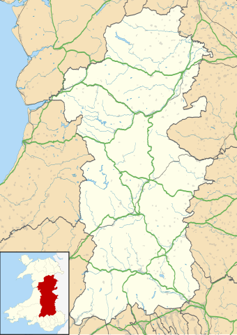
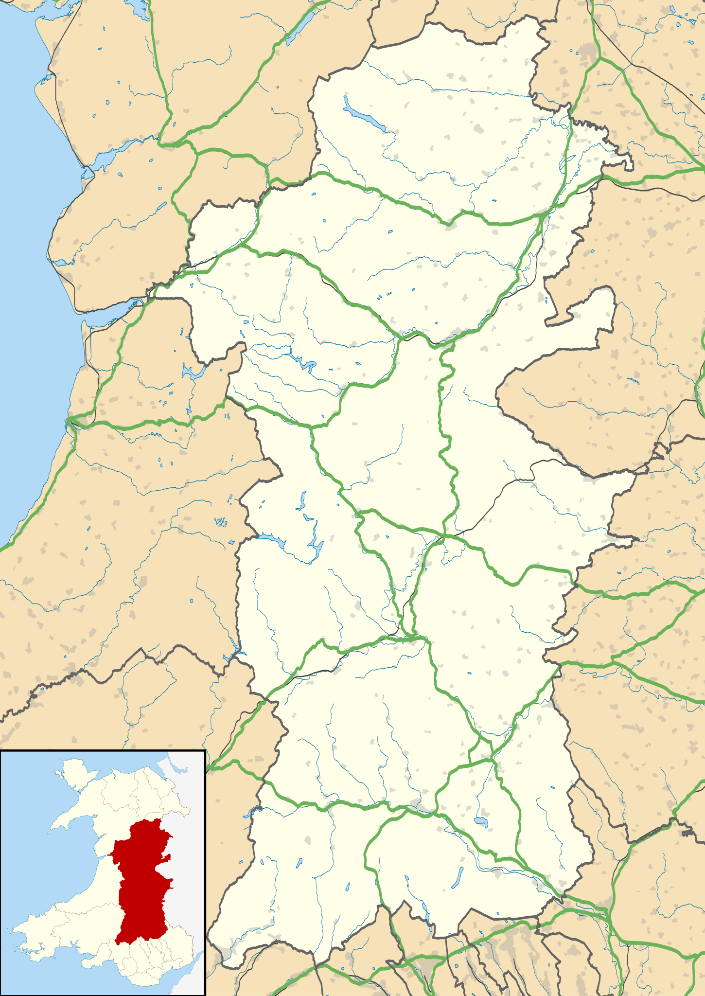
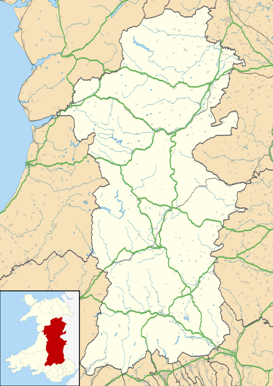
Map of Powys against the wider context of Wales with administritive borders, roads, railways, lakes, and rivers shown
| Descripció |
Blank map of Powys, UK with the following information shown:
Equirectangular map projection on WGS 84 datum, with N/S stretched 165% Geographic limits:
|
| Data | |
| Font |
|
| Autor | Nilfanion, created using Ordnance Survey data |
| Permís (Com reutilitzar aquest fitxer) |
Aquest fitxer està subjecte a la llicència de Creative Commons Reconeixement i Compartir Igual 3.0 No adaptada. Reconeixement: Contains Ordnance Survey data © Crown copyright and database right
|
| Altres versions | File:Powys UK map.svg - Blank map |
Historial del fitxer
Cliqueu una data/hora per veure el fitxer tal com era aleshores.
| Data/hora | Miniatura | Dimensions | Usuari/a | Comentari | |
|---|---|---|---|---|---|
| actual | 19:41, 26 set 2010 | | 924 × 1.305 (1,75 Mo) | Nilfanion (discussió | contribucions) | {{Information |Description=Blank map of Powys, UK with the following information shown: *Administrative borders *Coastline, lakes and rivers *Roads and railways *Urban areas Equirectangular map projection on WGS 84 datum, with N/S stretched |
No podeu sobreescriure aquest fitxer.
Ús del fitxer
La pàgina següent utilitza aquest fitxer:
Ús global del fitxer
Utilització d'aquest fitxer en altres wikis:
- Utilització a ar.wikipedia.org
- Utilització a azb.wikipedia.org
- Utilització a ca.wikipedia.org
- Utilització a ceb.wikipedia.org
- Utilització a cy.wikipedia.org
- Utilització a da.wikipedia.org
- Utilització a en.wikipedia.org
- Hay-on-Wye
- Llansantffraed
- List of monastic houses in Wales
- Powys
- Brecon
- Welshpool
- Machynlleth
- Llan, Powys
- Newtown, Powys
- Llanrhaeadr-ym-Mochnant
- Llanidloes
- Knighton, Powys
- New Radnor
- Presteigne
- Rhayader
- Builth Wells
- Llanwrtyd Wells
- Llandrindod Wells
- Llanwrtyd
- Montgomery, Powys
- Crickhowell
- Talgarth
- Ystradfellte
- Ystradgynlais
- Llandrinio
- Caersws
- Pontdolgoch
- Llanfair Caereinion
- Llanymynech
- Criggion Radio Station
- Llanelwedd
- Meifod
- Bwlch
- Pontneddfechan
- Trecastle
- Bettws Cedewain
- Beulah, Powys
- Talybont-on-Usk
- Bronllys
- Llandinam
- Abermule
- Van, Llanidloes
- Berriew
Vegeu més usos globals d'aquest fitxer.