File:Powys UK location map.svg
Spring til navigation
Spring til søgning

Size of this PNG preview of this SVG file: 424 × 599 pixels. Andre opløsninger: 170 × 240 pixels | 340 × 480 pixels | 544 × 768 pixels | 725 × 1.024 pixels | 1.450 × 2.048 pixels | 924 × 1.305 pixels.
Oprindelig fil (SVG fil, basisstørrelse 924 × 1.305 pixels, filstørrelse: 1,75 MB)
Captions
Captions
Tilføj en kort forklaring på en enkelt linje om hvad filen viser
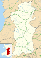
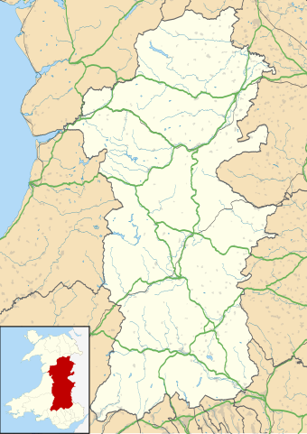
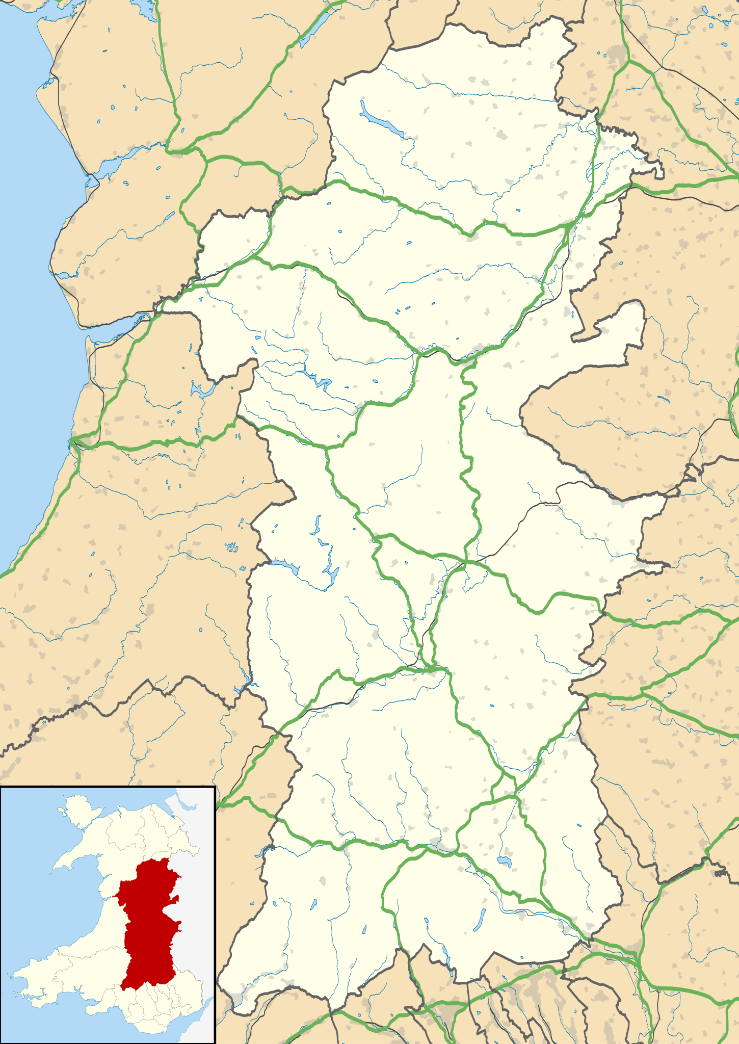
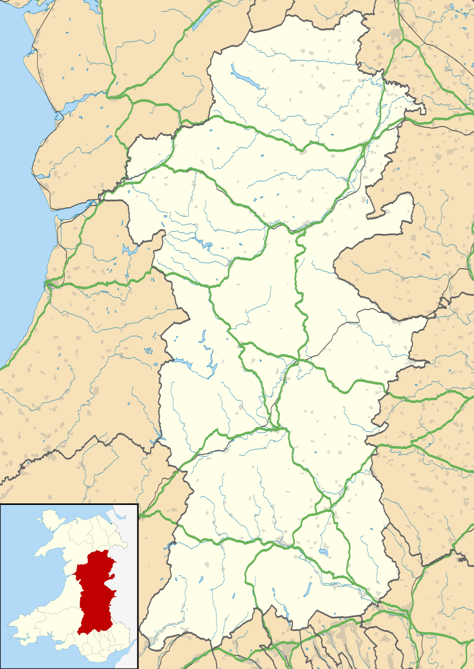
Map of Powys against the wider context of Wales with administritive borders, roads, railways, lakes, and rivers shown
| Beskrivelse |
Blank map of Powys, UK with the following information shown:
Equirectangular map projection on WGS 84 datum, with N/S stretched 165% Geographic limits:
|
| Dato | |
| Kilde |
|
| Forfatter | Nilfanion, created using Ordnance Survey data |
| Tilladelse (Genbrug af denne fil) |
Denne fil er udgivet under Creative Commons Kreditering-Del på samme vilkår 3.0 Ikke-porteret-licensen. Kreditering: Contains Ordnance Survey data © Crown copyright and database right
|
| Andre versioner | File:Powys UK map.svg - Blank map |
Filhistorik
Klik på en dato/tid for at se filen som den så ud på det tidspunkt.
| Dato/tid | Miniaturebillede | Dimensioner | Bruger | Kommentar | |
|---|---|---|---|---|---|
| nuværende | 26. sep. 2010, 19:41 | | 924 × 1.305 (1,75 MB) | Nilfanion (diskussion | bidrag) | {{Information |Description=Blank map of Powys, UK with the following information shown: *Administrative borders *Coastline, lakes and rivers *Roads and railways *Urban areas Equirectangular map projection on WGS 84 datum, with N/S stretched |
Du kan ikke overskrive denne fil.
Filanvendelse
Den følgende side bruger denne fil:
Global filanvendelse
Følgende andre wikier anvender denne fil:
- Anvendelser på ar.wikipedia.org
- Anvendelser på azb.wikipedia.org
- Anvendelser på ca.wikipedia.org
- Anvendelser på ceb.wikipedia.org
- Anvendelser på cy.wikipedia.org
- Anvendelser på da.wikipedia.org
- Anvendelser på en.wikipedia.org
- Hay-on-Wye
- Llansantffraed
- List of monastic houses in Wales
- Powys
- Brecon
- Welshpool
- Machynlleth
- Llan, Powys
- Newtown, Powys
- Llanrhaeadr-ym-Mochnant
- Llanidloes
- Knighton, Powys
- New Radnor
- Presteigne
- Rhayader
- Builth Wells
- Llanwrtyd Wells
- Llandrindod Wells
- Llanwrtyd
- Montgomery, Powys
- Crickhowell
- Talgarth
- Ystradfellte
- Ystradgynlais
- Llandrinio
- Caersws
- Pontdolgoch
- Llanfair Caereinion
- Llanymynech
- Criggion Radio Station
- Llanelwedd
- Meifod
- Bwlch
- Pontneddfechan
- Trecastle
- Bettws Cedewain
- Beulah, Powys
- Talybont-on-Usk
- Bronllys
- Llandinam
- Abermule
- Van, Llanidloes
- Berriew
Vis flere globale anvendelser af denne fil.