File:Quarry and Risinghurst ward map, Oxford 2010.svg
Jump to navigation
Jump to search

Size of this PNG preview of this SVG file: 469 × 600 pixels. Other resolutions: 188 × 240 pixels | 375 × 480 pixels | 600 × 768 pixels | 801 × 1,024 pixels | 1,601 × 2,048 pixels | 990 × 1,266 pixels.
Original file (SVG file, nominally 990 × 1,266 pixels, file size: 257 KB)
Captions
Captions
Add a one-line explanation of what this file represents
Summary
[edit]
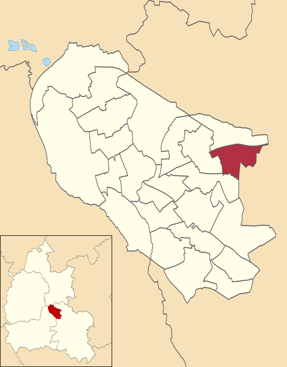
| Description | Quarry and Risinghurst ward shown within Oxford |
| Date | (UTC) |
| Source |
This file was derived from: Oxford UK ward map 2010 (blank).svg: |
| Author |
|
.svg)
Licensing
[edit]
I, the copyright holder of this work, hereby publish it under the following license:
This file is licensed under the Creative Commons Attribution-Share Alike 3.0 Unported license.
- You are free:
- to share – to copy, distribute and transmit the work
- to remix – to adapt the work
- Under the following conditions:
- attribution – You must give appropriate credit, provide a link to the license, and indicate if changes were made. You may do so in any reasonable manner, but not in any way that suggests the licensor endorses you or your use.
- share alike – If you remix, transform, or build upon the material, you must distribute your contributions under the same or compatible license as the original.
Original upload log
[edit]
This image is a derivative work of the following images:
- File:Oxford UK ward map 2010 (blank).svg licensed with Cc-by-sa-3.0
- 2011-04-24T23:35:02Z Nilfanion 990x1266 (261821 Bytes) {{Information |Description=Map of Oxford, Oxfordshire, UK with electoral wards shown. Equirectangular map projection on WGS 84 datum, with N/S stretched 160% Geographic limits: *West: 1.32W *East: 1.17W *North: 51.81N *Sout
Uploaded with derivativeFX
File history
Click on a date/time to view the file as it appeared at that time.
| Date/Time | Thumbnail | Dimensions | User | Comment | |
|---|---|---|---|---|---|
| current | 17:12, 7 April 2021 | | 990 × 1,266 (257 KB) | Gazamp (talk | contribs) | == {{int:filedesc}} == {{Information |Description=Quarry and Risinghurst ward shown within Oxford |Source={{Derived from|Oxford UK ward map 2010 (blank).svg|display=50}} |Date=2021-04-07 17:11 (UTC) |Author=* File:Oxford UK ward map 2010 (blank).svg: Nilfanion, created using Ordnance Survey data * derivative work: [[User:{{subst:REVISIONUSER}}|{{subst:REVISIONUSER}}]] |Permission= |other_versions= }} == {{int:license-header}} =... |
You cannot overwrite this file.
File usage on Commons
There are no pages that use this file.