File:Rade de Brest - btv1b53014964k.jpg
Jump to navigation
Jump to search

Size of this preview: 776 × 600 pixels. Other resolutions: 311 × 240 pixels | 621 × 480 pixels | 994 × 768 pixels | 1,280 × 989 pixels | 2,560 × 1,979 pixels | 7,268 × 5,618 pixels.
Original file (7,268 × 5,618 pixels, file size: 4.02 MB, MIME type: image/jpeg)
Captions
Captions
Add a one-line explanation of what this file represents
Summary
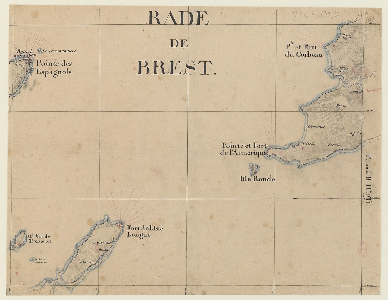
[edit]| Rade de Brest
( |
|||||||||||||||||||||||||||
|---|---|---|---|---|---|---|---|---|---|---|---|---|---|---|---|---|---|---|---|---|---|---|---|---|---|---|---|
| Title |
Rade de Brest |
||||||||||||||||||||||||||
| Description |
Français : Sujet : Bretagne, Province de
Échelle(s) : [1 : 14 000] Couverture : France – Bretagne Langue : français |
||||||||||||||||||||||||||
| Date | between 1771 and 1785 | ||||||||||||||||||||||||||
| Dimensions | height: 60 cm (23.6 in); width: 46 cm (18.1 in) | ||||||||||||||||||||||||||
| Collection |
|
||||||||||||||||||||||||||
| References |
Français : Notice de recueil : http://catalogue.bnf.fr/ark:/12148/cb42340713c
Appartient à : [Division 3 du portefeuille 43 du Service hydrographique de la marine consacrée à la carte topographique des côtes de France offrant celles de la Bretagne depuis le Mont Saint-Michel jusqu'à l'isle de Noirmoutier] ; 138 D Notice du catalogue : http://catalogue.bnf.fr/ark:/12148/cb423424898 |
||||||||||||||||||||||||||
| Source/Photographer |
Français : Bibliothèque nationale de France, département Cartes et plans, GESH18PF43DIV3P138D
Bibliothèque nationale de France |
||||||||||||||||||||||||||
| Permission (Reusing this file) |
|
||||||||||||||||||||||||||

File history
Click on a date/time to view the file as it appeared at that time.
| Date/Time | Thumbnail | Dimensions | User | Comment | |
|---|---|---|---|---|---|
| current | 17:45, 20 July 2022 | | 7,268 × 5,618 (4.02 MB) | Gzen92Bot (talk | contribs) | Gallica btv1b53014964k |
You cannot overwrite this file.
File usage on Commons
The following 2 pages use this file: