File:Relief map of Italien Lombardei.png
Jump to navigation
Jump to search
Size of this preview: 675 × 600 pixels. Other resolutions: 270 × 240 pixels | 540 × 480 pixels | 864 × 768 pixels | 1,152 × 1,024 pixels | 2,343 × 2,082 pixels.
Original file (2,343 × 2,082 pixels, file size: 6.48 MB, MIME type: image/png)
Captions
Captions
Add a one-line explanation of what this file represents
Summary[edit]
| Description |
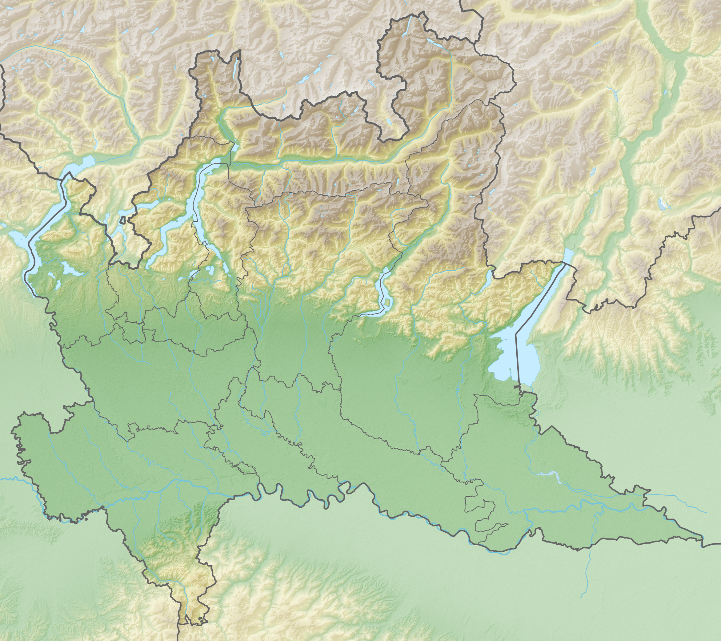
Deutsch: Positionskarte von Lombardei (Italien) English: Location map of Lombardy region (Italy) Español: Mapa de localización de la Región de Lombardía (Italia).
Equirectangular projection, N/S stretching 115 %. Geographic limits of the map:
|
| Date | |
| Source | Own work |
| Author | Tschubby |
Licensing[edit]
I, the copyright holder of this work, hereby publish it under the following licenses:

|
Permission is granted to copy, distribute and/or modify this document under the terms of the GNU Free Documentation License, Version 1.2 or any later version published by the Free Software Foundation; with no Invariant Sections, no Front-Cover Texts, and no Back-Cover Texts. A copy of the license is included in the section entitled GNU Free Documentation License. |
This file is licensed under the Creative Commons Attribution-Share Alike 3.0 Unported license.
- You are free:
- to share – to copy, distribute and transmit the work
- to remix – to adapt the work
- Under the following conditions:
- attribution – You must give appropriate credit, provide a link to the license, and indicate if changes were made. You may do so in any reasonable manner, but not in any way that suggests the licensor endorses you or your use.
- share alike – If you remix, transform, or build upon the material, you must distribute your contributions under the same or compatible license as the original.
You may select the license of your choice.
File history
Click on a date/time to view the file as it appeared at that time.
| Date/Time | Thumbnail | Dimensions | User | Comment | |
|---|---|---|---|---|---|
| current | 13:46, 19 August 2019 | | 2,343 × 2,082 (6.48 MB) | Toghrul R (talk | contribs) | ratio fix |
| 16:40, 27 March 2019 |  | 2,343 × 2,107 (6.41 MB) | Tschubby (talk | contribs) | == {{int:filedesc}} == {{Information |description={{de|Positionskarte von Lombardei (Italien)}}{{en|Location map of Lombardy region (Italy)}}{{es|1=Mapa de localización de la Región de Lombardía (Italia).}} Equirectangular projection, N/S stretching 115 %. Geographic limits of the map: * N: 46.67375° N * S: 44.6258666° N * W: 8.44530277° E * E: 11.5096388° E Topographischer Hintergrund: [http://www2.jpl.nasa.gov/srtm NASA Shuttle Radar Topography... |
You cannot overwrite this file.
File usage
The following 2 pages use this file:
Global file usage
The following other wikis use this file:
- Usage on als.wikipedia.org
- Usage on be.wikipedia.org
- Usage on bg.wikipedia.org
- Монца
- Милано
- Бормио
- Сондало
- Тирано
- Тельо
- Сондрио
- Морбеньо
- Колико
- Беладжо
- Лоди
- Пицигетоне
- Ваприо д'Ада
- Калуско д'Ада
- Трецо сул'Ада
- Касано д'Ада
- Риволта д'Ада
- Спино д'Ада
- Бергамо
- Комо (град)
- Кремона
- Вогера
- Априка
- Санджано
- Албино
- Лефе
- Брунате
- Понте ди Леньо
- Едоло
- Тему
- Веца д'Ольо
- Сончино
- Баскапе
- Сало
- Флеро
- Бреша
- Канту
- Павия
- Валеджо
- Булгарограсо
- Арезе
- Крема
- Солферино
- Изео
- Грианте
- Мантуа
- Гомбито
View more global usage of this file.