File:Reliefkarte Rumänien.png
Jump to navigation
Jump to search

Size of this preview: 800 × 587 pixels. Other resolutions: 320 × 235 pixels | 640 × 469 pixels | 1,024 × 751 pixels | 1,280 × 939 pixels | 2,268 × 1,663 pixels.
Original file (2,268 × 1,663 pixels, file size: 6.03 MB, MIME type: image/png)
Captions
Captions
Add a one-line explanation of what this file represents
Summary[edit]
| Description |
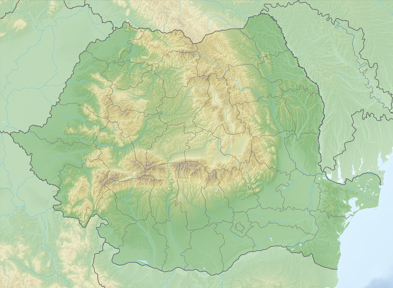
Deutsch: Reliefkarte Rumänien
Topographischer Hintergrund: NASA Shuttle Radar Topography Mission (public domain). SRTM3 v.2. |
||||||||
| Date | |||||||||
| Source | Own work | ||||||||
| Author | Tschubby | ||||||||
| Permission (Reusing this file) |
I, the copyright holder of this work, hereby publish it under the following licenses:
This file is licensed under the Creative Commons Attribution-Share Alike 2.5 Generic, 2.0 Generic and 1.0 Generic license.
You may select the license of your choice. |

File history
Click on a date/time to view the file as it appeared at that time.
| Date/Time | Thumbnail | Dimensions | User | Comment | |
|---|---|---|---|---|---|
| current | 09:07, 10 May 2018 | | 2,268 × 1,663 (6.03 MB) | Tschubby (talk | contribs) | == {{int:filedesc}} == {{Information |Description= {{de| Reliefkarte Rumänien}} Topographischer Hintergrund: [http://www2.jpl.nasa.gov/srtm NASA Shuttle Radar Topography Mission] (public domain). SRTM3 v.2. |Source={{own}} |Date= 2018-05-10 |Author= Tschubby |Permission= {{self|GFDL|Cc-by-sa-3.0-migrated|Cc-by-sa-2.5,2.0,1.0}} |other_versions= }} Category:Location maps of Romania |
You cannot overwrite this file.
File usage on Commons
There are no pages that use this file.
File usage on other wikis
The following other wikis use this file:
- Usage on arz.wikipedia.org
- اجيغيول
- پياترا
- ستوينيشتى
- ڤاليا تيلور
- پالازو ميك
- بايا
- بيداود
- بيشتيپى
- شوموشتشيش
- كاسيمسيا
- سيامورليا دى چوس
- دوبرومير
- راتشيتينى
- ماهموديا
- فريكاتسى
- سوموڤا لو پاسكالى
- راسوڤا
- نالبانت
- قريه ميهاى براڤو, رومانيا
- نوفارو
- قريه ستيچارو
- ليپنيتسا
- قريه لونكاڤيتسا
- قريه ميهاى ڤيتيازو, رومانيا
- موشنينى
- مالو مارى
- ڤيزيرو
- بيڤولارى
- ماسيشو دى چوس
- ساڤينيشتى
- ديرمانيشتى
- ارسا
- ريمنيكو دى چوس
- قريه ڤادو, رومانيا
- زيبيل
- قريه البا
- قريه ڤيكتوريا, رومانيا
- قريه ميرسيا ڤودا
- ڤيشينا
- اسيتشيوى
- كاتالوى
- جينيرال پراپورجيسكو
- قريه تشيا, رومانيا
- قريه رازبوينى
- نونتاشى
- قريه كامينا
- كاوجاجيا
- پاندورو
- ريندونيكا
- ساريغيول دى ديال
View more global usage of this file.