File:Rennes 2 University location map-fr.svg
Jump to navigation
Jump to search

Size of this PNG preview of this SVG file: 380 × 380 pixels. Other resolutions: 240 × 240 pixels | 480 × 480 pixels | 768 × 768 pixels | 1,024 × 1,024 pixels | 2,048 × 2,048 pixels.
Original file (SVG file, nominally 380 × 380 pixels, file size: 21 KB)
Captions
Captions
Add a one-line explanation of what this file represents
Summary
[edit]| Description |
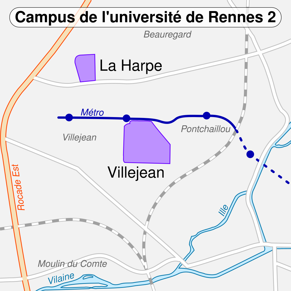
English: Map of the university of Rennes 2 campus.
Français : Carte des campus de l'université de Rennes 2. |
||
| Date | (UTC) | ||
| Source | |||
| Author |
|
||
| Other versions | |||
| Attribution (required by the license) | © Sémhur / Wikimedia Commons / | ||
| SVG | W3C-validity not checked.
|
||
| Graphic Lab |

| Camera location | | View this and other nearby images on: OpenStreetMap |
|---|
Licensing
[edit]
I, the copyright holder of this work, hereby publish it under the following license:
This file is licensed under the Creative Commons Attribution-Share Alike 2.0 Generic license.
- You are free:
- to share – to copy, distribute and transmit the work
- to remix – to adapt the work
- Under the following conditions:
- attribution – You must give appropriate credit, provide a link to the license, and indicate if changes were made. You may do so in any reasonable manner, but not in any way that suggests the licensor endorses you or your use.
- share alike – If you remix, transform, or build upon the material, you must distribute your contributions under the same or compatible license as the original.
Original upload log
[edit]
This image is a derivative work of the following images:
- File:Rennes_-_Campus_map-fr.svg licensed with Cc-by-sa-2.0, Cc-by-sa-2.0
- 2009-10-16T15:13:03Z Sémhur 1800x1800 (149450 Bytes) Good colours for Campus du Centre
- 2009-10-16T15:11:43Z Sémhur 1800x1800 (149441 Bytes) - bitmap
- 2009-10-16T15:10:06Z Sémhur 1800x1800 (149825 Bytes) + gare & correction Ker Lann
- 2009-10-16T14:50:29Z Sémhur 1800x1800 (144481 Bytes) + Villejean medecine & metro
- 2009-10-15T19:28:31Z Sémhur 1800x1800 (113473 Bytes) =={{int:filedesc}}== {{Information |Description= {{en|1=Map of the campus of [[:en:Rennes|Rennes]] university.}} {{fr|1=Carte des campus de l'université de [[:fr:Rennes|Rennes]].}} |Source=See the image in its original conte
Uploaded with derivativeFX
File history
Click on a date/time to view the file as it appeared at that time.
| Date/Time | Thumbnail | Dimensions | User | Comment | |
|---|---|---|---|---|---|
| current | 18:40, 16 October 2009 | | 380 × 380 (21 KB) | Sémhur (talk | contribs) | == {{int:filedesc}} == {{Information |Description={{en|1=Map of the university of Rennes 1 campus.}} {{fr|1=Carte des campus de l'université de Rennes 1.}} |Source=*[[:File:Rennes_-_Campus_ma |
You cannot overwrite this file.
File usage on Commons
There are no pages that use this file.
File usage on other wikis
The following other wikis use this file:
- Usage on fr.wikipedia.org