File:Rennes map.svg
Jump to navigation
Jump to search

Size of this PNG preview of this SVG file: 651 × 599 pixels. Other resolutions: 261 × 240 pixels | 521 × 480 pixels | 834 × 768 pixels | 1,112 × 1,024 pixels | 2,225 × 2,048 pixels | 1,057 × 973 pixels.
Original file (SVG file, nominally 1,057 × 973 pixels, file size: 2.19 MB)
Captions
Captions
Add a one-line explanation of what this file represents
Summary
[edit]
| Description |
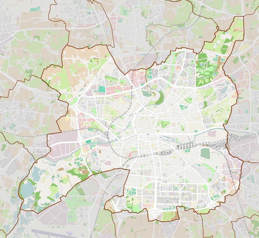
Français : Carte de la ville de Rennes. Limites de la carte : |
| Date | |
| Source | Own work from OpenStreetMap |
| Author | Flappiefh |
Licensing
[edit]
I, the copyright holder of this work, hereby publish it under the following license:
This file is licensed under the Creative Commons Attribution-Share Alike 4.0 International license.
- You are free:
- to share – to copy, distribute and transmit the work
- to remix – to adapt the work
- Under the following conditions:
- attribution – You must give appropriate credit, provide a link to the license, and indicate if changes were made. You may do so in any reasonable manner, but not in any way that suggests the licensor endorses you or your use.
- share alike – If you remix, transform, or build upon the material, you must distribute your contributions under the same or compatible license as the original.
File history
Click on a date/time to view the file as it appeared at that time.
| Date/Time | Thumbnail | Dimensions | User | Comment | |
|---|---|---|---|---|---|
| current | 14:53, 26 September 2016 | | 1,057 × 973 (2.19 MB) | Flappiefh (talk | contribs) | Removed frame. |
| 13:11, 22 September 2016 |  | 1,057 × 973 (2.19 MB) | Flappiefh (talk | contribs) | User created page with UploadWizard |
You cannot overwrite this file.
File usage on Commons
The following 3 pages use this file:
File usage on other wikis
The following other wikis use this file:
- Usage on ar.wikipedia.org
- Usage on ceb.wikipedia.org
- Usage on da.wikipedia.org
- Usage on el.wikipedia.org
- Usage on en.wikipedia.org
- Institut d'études politiques de Rennes
- Institut national des sciences appliquées de Rennes
- Museum of Fine Arts of Rennes
- Module:Location map/data/France Rennes/doc
- Saint George Palace
- Module:Location map/data/France Rennes
- Parc du Thabor
- École nationale de la statistique et de l'analyse de l'information
- École nationale supérieure de chimie de Rennes
- École supérieure d'ingénieurs de Rennes
- Attack of 7 August 1932 in Rennes
- Usage on eo.wikipedia.org
- Rennes
- Notre-Dame en Saint-Melaine
- Katedralo Saint-Pierre de Rennes
- Parko Thabor
- Palaco de la parlamento de Bretonio
- Baziliko Saint-Sauveur de Rennes
- Preĝejo Saint-Germain de Rennes
- Tour Duchesne
- Mordela pordego
- Belarta muzeo de Rennes
- Ŝablono:Informkesto muzeo
- Ŝablono:Informkesto muzeo/dokumentado
- Ŝablono:Geokesto lokumilo Rennes
- J.F. Kennedy (metroo de Rennes)
- Ŝablono:Informkesto stacio
- Ŝablono:Informkesto stacio/dokumentado
- La Poterie (metroo de Rennes)
- Operejo de Rennes
- Urbodomo de Rennes
- Naĝejo Saint-Georges
- Palaco Saint-Georges
- Rennes (stacidomo)
- Ŝablono:Situo sur mapo Francio Rennes
- Ŝablono:Situo sur mapo Francio Rennes/dokumentado
- Rennes School of Business
- Pontchaillou (stacidomo)
- La Poterie (stacidomo)
- Usage on es.wikipedia.org
- Usage on eu.wikipedia.org
- Usage on fa.wikipedia.org
- Usage on fr.wikipedia.org
View more global usage of this file.