File:Romania Sibiu Location map.svg
Jump to navigation
Jump to search

Size of this PNG preview of this SVG file: 696 × 600 pixels. Other resolutions: 279 × 240 pixels | 557 × 480 pixels | 891 × 768 pixels | 1,189 × 1,024 pixels | 2,377 × 2,048 pixels | 838 × 722 pixels.
Original file (SVG file, nominally 838 × 722 pixels, file size: 5.03 MB)
Captions
Captions
Add a one-line explanation of what this file represents
Summary
[edit]
| Description |
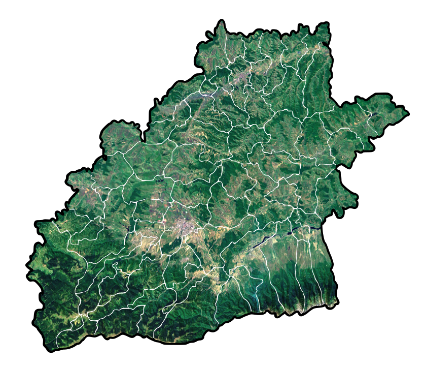
Română: Romania Sibiu Location map. ATENTIE: hartile derivate din aceasta nu pot fi folosite la harti de localizare localitati deoarece nu sunt calibrate dupa coordonate geografice. |
| Date | |
| Source |
|
| Author | Asybaris01 |
Licensing
[edit]
| This image is in the public domain because it is a screenshot from NASA’s globe software World Wind using a public domain layer, such as Blue Marble, MODIS, Landsat, SRTM, USGS or GLOBE.
|
 |
File history
Click on a date/time to view the file as it appeared at that time.
| Date/Time | Thumbnail | Dimensions | User | Comment | |
|---|---|---|---|---|---|
| current | 20:52, 29 November 2011 | | 838 × 722 (5.03 MB) | Asybaris01 (talk | contribs) | re |
| 20:52, 29 November 2011 |  | 838 × 722 (5.03 MB) | Asybaris01 (talk | contribs) | re | |
| 20:49, 29 November 2011 |  | 838 × 722 (359 KB) | Asybaris01 (talk | contribs) | renew | |
| 20:46, 29 November 2011 |  | 838 × 722 (359 KB) | Asybaris01 (talk | contribs) | {{Information |Description ={{ro|1=Romania Sibiu Location map.}} |Source =Topographic data SRTM from NASA and World Imagery - NASA World Wind & 3Dem & Inkscape |Author =Asybaris01 |Date =nov 2011 |Permissio |
You cannot overwrite this file.
File usage on Commons
There are no pages that use this file.