File:Saint Croix-Vanceboro Railway Bridge USGS.png
Jump to navigation
Jump to search
Size of this preview: 800 × 302 pixels. Other resolutions: 320 × 121 pixels | 1,233 × 465 pixels.
Original file (1,233 × 465 pixels, file size: 736 KB, MIME type: image/png)
Captions
Captions
Add a one-line explanation of what this file represents
Summary
[edit]
| Description |
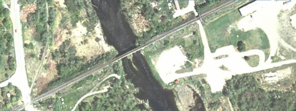
English: Saint Croix-Vanceboro Railway Bridge, seen by a USGS satellite. |
| Date | |
| Source | USGS National Map, http://viewer.nationalmap.gov/viewer/?q=45.5639,-67.4275 |
| Author | USGS |
Licensing
[edit]
This image is in the public domain in the United States because it only contains materials that originally came from the United States Geological Survey, an agency of the United States Department of the Interior. For more information, see the official USGS copyright policy.
|
File history
Click on a date/time to view the file as it appeared at that time.
| Date/Time | Thumbnail | Dimensions | User | Comment | |
|---|---|---|---|---|---|
| current | 16:17, 2 November 2014 | 1,233 × 465 (736 KB) | Oaktree b (talk | contribs) | User created page with UploadWizard |
You cannot overwrite this file.
File usage on Commons
The following page uses this file:
File usage on other wikis
The following other wikis use this file:
- Usage on en.wikipedia.org
- Usage on ru.wikipedia.org
- Usage on www.wikidata.org