File:Saintes01.png
Jump to navigation
Jump to search
Size of this preview: 666 × 599 pixels. Other resolutions: 267 × 240 pixels | 534 × 480 pixels | 807 × 726 pixels.
Original file (807 × 726 pixels, file size: 70 KB, MIME type: image/png)
Captions
Captions
Add a one-line explanation of what this file represents
Summary
[edit]
| Description |
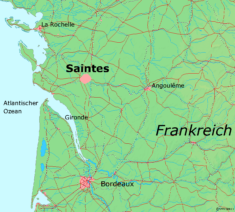
Deutsch: Karte von Saintes und Umgebung |
| Date | 5 November 2004 (original upload date) |
| Source | Kartenquelle: [1], |
| Author | DEMIS |
Licensing
[edit]
This image is in the public domain because it came from the site https://www.demis.nl/products/web-map-server/examples/ and was released by the copyright holder. Permission is granted to copy, distribute and/or modify this map since it is based on free of copyright images from: www.demis.nl. See also approval email on de.wp and its clarification.
|
| This work has been released into the public domain by its copyright holder, www.demis.nl. This applies worldwide. In some countries this may not be legally possible; if so: www.demis.nl grants anyone the right to use this work for any purpose, without any conditions, unless such conditions are required by law.
|
Original upload log
[edit]
Transferred from de.wikipedia to Commons by Yellowcard using CommonsHelper.
The original description page was here. All following user names refer to de.wikipedia.
- 2004-11-05 19:02 Markus Schweiß 807×726× (71594 bytes) Korrektur, {{Bild-GFDL}}
- 2004-11-05 19:00 Markus Schweiß 807×726× (71416 bytes) Karte von [[Saintes]] und Umgebung, Kartenquelle: [http://www2.demis.nl/mapserver/mapper.asp], {{Bild-GFDL}}
File history
Click on a date/time to view the file as it appeared at that time.
| Date/Time | Thumbnail | Dimensions | User | Comment | |
|---|---|---|---|---|---|
| current | 15:45, 29 September 2012 | | 807 × 726 (70 KB) | File Upload Bot (Magnus Manske) (talk | contribs) | Transfered from de.wikipedia by User:Yellowcard using CommonsHelper |
You cannot overwrite this file.
File usage on Commons
There are no pages that use this file.