File:Sanborn Fire Insurance Map from New York, Bronx, Kings, Queens, Richmond, New York. LOC sanborn06116 001-37.jpg
Jump to navigation
Jump to search

Size of this preview: 452 × 599 pixels. Other resolutions: 181 × 240 pixels | 362 × 480 pixels | 579 × 768 pixels | 772 × 1,024 pixels | 1,545 × 2,048 pixels | 6,148 × 8,150 pixels.
Original file (6,148 × 8,150 pixels, file size: 4.68 MB, MIME type: image/jpeg)
Captions
Captions
Add a one-line explanation of what this file represents
Summary
[edit]| Description |
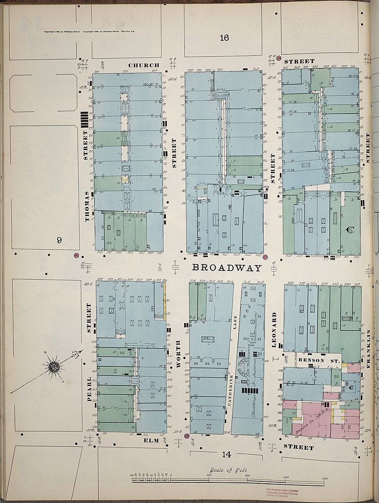
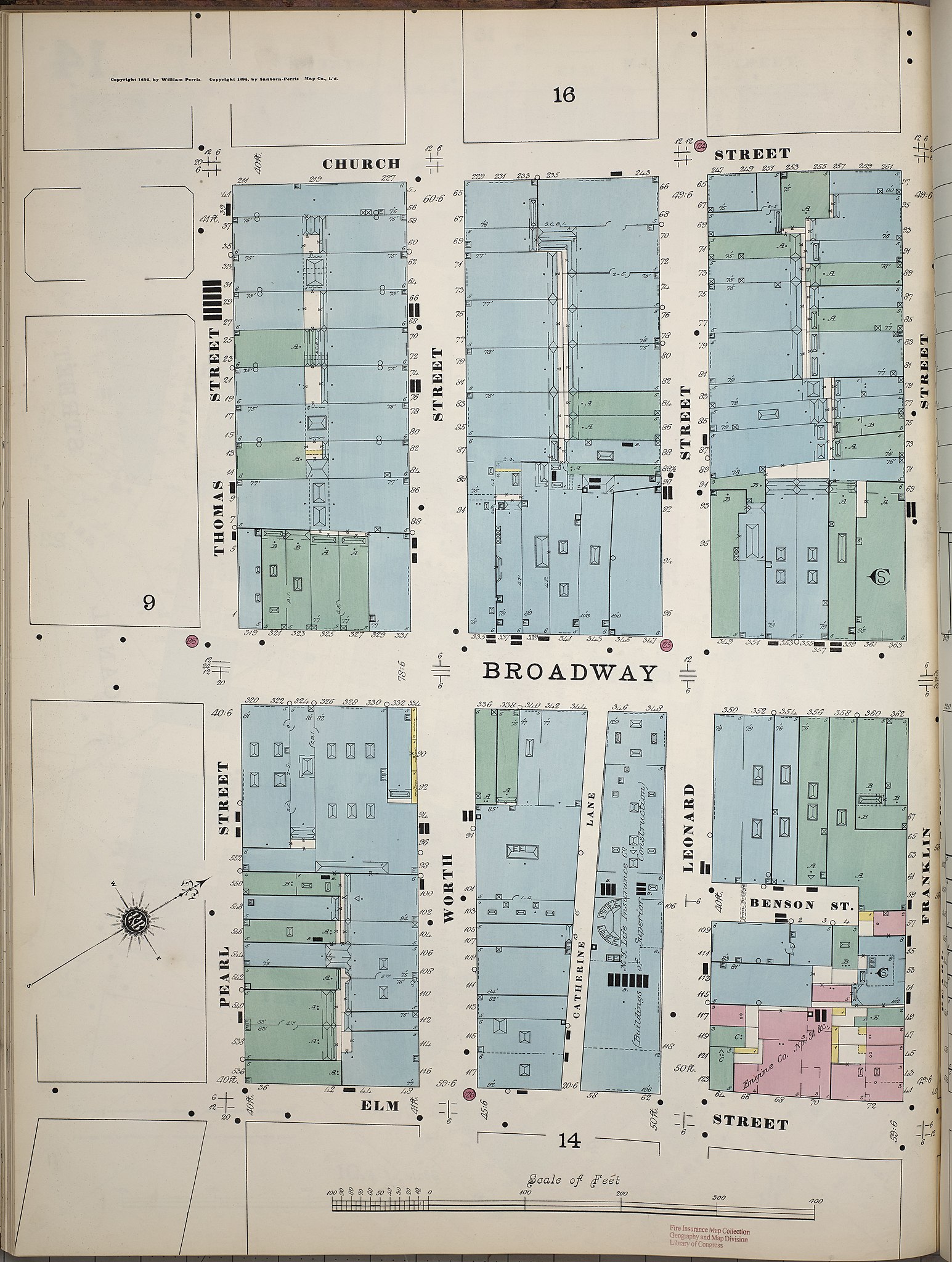
English: 1890 - 1902 Vol. 1, 1894. 98 Sheet(s). Key map to edition. 28 skeleton maps. Map of dry goods district. Double-paged plates numbered 1-30. Bound. |
||
| Title | Sanborn Fire Insurance Map from New York, Bronx, Kings, Queens, Richmond, New York. | ||
| Shelf ID | https://www.loc.gov/item/sanborn06116_001/ | ||
| Parent | https://www.loc.gov/resource/g3804nm.g3804nm_g06116189401/ | ||
| Sheet title | Image 37 of Sanborn Fire Insurance Map from New York, Bronx, Manhattan, New York. | ||
| Date | |||
| Source | https://www.loc.gov/item/sanborn06116_001/ | ||
| Author | Unknown author | ||
| Permission (Reusing this file) |
|
||
| Other versions |
|
||
| Location | Bronx · Kings · New York · Richmond · Queens | ||
| Part of | American Memory · Sanborn Maps · Geography And Maps Division · Sanborn Fire Insurance Maps |


Licensing
[edit]
|
This is a faithful photographic reproduction of a two-dimensional, public domain work of art. The work of art itself is in the public domain for the following reason:
The official position taken by the Wikimedia Foundation is that "faithful reproductions of two-dimensional public domain works of art are public domain".
This photographic reproduction is therefore also considered to be in the public domain in the United States. In other jurisdictions, re-use of this content may be restricted; see Reuse of PD-Art photographs for details. | ||||
File history
Click on a date/time to view the file as it appeared at that time.
| Date/Time | Thumbnail | Dimensions | User | Comment | |
|---|---|---|---|---|---|
| current | 22:29, 14 July 2018 | | 6,148 × 8,150 (4.68 MB) | Fæ (talk | contribs) | LOC Maps multisheet https://www.loc.gov/item/sanborn06116_001/ sheet 37 of 81 #198 |
You cannot overwrite this file.
File usage on Commons
The following page uses this file:
Categories:
- Maps in the Library of Congress
- Sanborn Fire Insurance Map from New York, Bronx, Kings, Queens, Richmond, New York
- Church Street (Manhattan)
- Broadway below Canal Street
- Lafayette Street (Manhattan)
- Thomas Street (Manhattan)
- Worth Street (Manhattan)
- Catherine Lane (Manhattan)
- Leonard Street (Manhattan)
- Benson Place
- Franklin Street (Manhattan)