File:Shelter-island-town-map.gif
跳转到导航
跳转到搜索
没有更高的分辨率。
Shelter-island-town-map.gif (575 × 425像素,文件大小:39 KB,MIME类型:image/gif)
说明
说明
添加一行文字以描述该文件所表现的内容
摘要
[编辑]

|
此文件是通过机器人脚本从en.wikipedia移动到维基共享资源的。来源中的所有信息均已保留,但仍需要人工的审阅。部分或所有的信息可能会出现在错误的区域;只有在经过审阅并修正需改正的错误后,此文件的相关信息才能视为可使用。当审阅结束后,请移除本模板,更详细的信息参见下方。 现在就开始检查! |
| 描述 | |
| 日期 | |
| 来源 | http://factfinder.census.gov |
| 作者 | United States Census Bureau |
| 授权 (二次使用本文件) |
Public domain |
许可协议
[编辑]
This image or file is a work of a United States Census Bureau employee, taken or made as part of that person's official duties. As a work of the U.S. federal government, the image is in the public domain.
|
 |
原始上传日志
[编辑]
Transferred from en.wikipedia to Commons by Milicevic01 using CommonsHelper.
The original description page was here. All following user names refer to en.wikipedia.
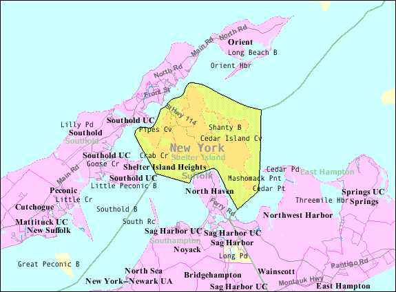
- 2007-10-22 08:55 Americasroof 575×425× (40051 bytes) [[Shelter Island (town), New York]] map from U.S. Census
文件历史
点击某个日期/时间查看对应时刻的文件。
| 日期/时间 | 缩略图 | 大小 | 用户 | 备注 | |
|---|---|---|---|---|---|
| 当前 | 2013年8月22日 (四) 13:36 | | 575 × 425(39 KB) | File Upload Bot (Magnus Manske)(留言 | 贡献) | Transfered from en.wikipedia by User:Milicevic01 using CommonsHelper |
您不可以覆盖此文件。
文件用途
以下页面使用本文件:
全域文件用途
以下其他wiki使用此文件:
- arz.wikipedia.org上的用途
- ceb.wikipedia.org上的用途
- en.wikipedia.org上的用途
- es.wikipedia.org上的用途
- et.wikipedia.org上的用途
- fr.wikipedia.org上的用途
- ht.wikipedia.org上的用途
- sh.wikipedia.org上的用途
- simple.wikipedia.org上的用途
- sr.wikipedia.org上的用途
- sv.wikipedia.org上的用途
- tt.wikipedia.org上的用途
- www.wikidata.org上的用途
- zh.wikipedia.org上的用途