File:Shepherds Bush Market Station geograph-4000512-by-Ben-Brooksbank.jpg
跳去導覽
跳去搵嘢
預覽大細:800 × 438 像素。 第啲解像度:320 × 175 像素 | 640 × 350 像素 | 1,024 × 560 像素 | 1,280 × 701 像素 | 2,441 × 1,336 像素。
原本檔案 (2,441 × 1,336 像素,檔案大細:3.45 MB ,MIME類型:image/jpeg)
Captions
Captions
Add a one-line explanation of what this file represents
摘要[編輯]
| 描述 |
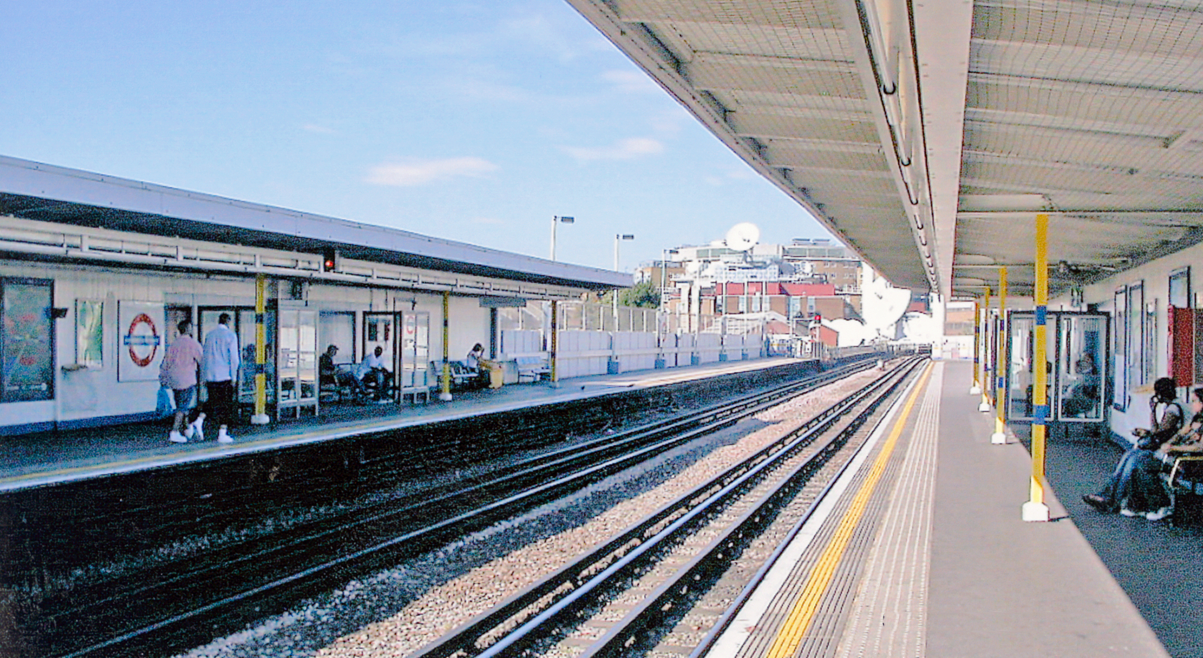
English: Shepherds Bush Market Station, London Underground. View northward, towards Paddington, Edgware Road, Farringdon, Whitechapel and Barking: Hammersmith & City Line, formerly Metropolitan & GWR Joint. 'Market' recently (10/08) added to the name, for the new Westfield Centre. |
| 日期 | |
| 來源 | From geograph.org.uk |
| 作者 | Ben Brooksbank |
| 許可 (重用呢個檔案) |
Creative Commons Attribution Share-alike license 2.0 |
| 姓名標示 (required by the license) | Ben Brooksbank / Shepherds Bush Market Station, London Underground / |
| Camera location | | View this and other nearby images on: OpenStreetMap |
|---|
協議[編輯]

|
This image was taken from the Geograph project collection. See this photograph's page on the Geograph website for the photographer's contact details. The copyright on this image is owned by Ben Brooksbank and is licensed for reuse under the Creative Commons Attribution-ShareAlike 2.0 license.
|
This file is licensed under the Creative Commons Attribution-Share Alike 2.0 Generic license.
姓名標示: Ben Brooksbank
- 你可以:
- 去分享 – 複製、發佈同傳播呢個作品
- 再改 – 創作演繹作品
- 要遵照下面嘅條件:
- 署名 – 你一定要畀合適嘅表彰、畀返指向呢個授權條款嘅連結,同埋寫明有無改過嚟。你可以用任何合理方式去做,但唔可以用任何方式暗示授權人認可咗你或者你嘅使用方式。
- 相同方式分享 – 如果你用任何方式改過呢個作品,你必須要用返原本或者相似嘅條款發佈。
檔案歷史
撳個日期/時間去睇響嗰個時間出現過嘅檔案。
| 日期/時間 | 縮圖 | 尺寸 | 用戶 | 註解 | |
|---|---|---|---|---|---|
| 現時 | 2014年6月28號 (六) 06:41 | | 2,441 × 1,336(3.45 MB) | Chevin(傾偈 | 貢獻) | == {{int:filedesc}} == {{Information |Description={{en|1='''Shepherds Bush Market Station, London Underground.'''<br /> View northward, towards Paddington, Edgware Road, Farringdon, Whitechapel and Barking: Hammersmith & City Line, formerly Metropolita... |
你無得衾咗個檔案。
檔案用途
以下嘅1版用到呢個檔:
全域檔案使用情況
下面嘅維基都用緊呢個檔案:
- en.wikipedia.org嘅使用情況
- fa.wikipedia.org嘅使用情況
- uk.wikipedia.org嘅使用情況
- ur.wikipedia.org嘅使用情況
- zh-yue.wikipedia.org嘅使用情況
- zh.wikipedia.org嘅使用情況