File:Ships on a map of isle of Wight.jpg
Jump to navigation
Jump to search
Size of this preview: 800 × 349 pixels. Other resolutions: 320 × 140 pixels | 640 × 280 pixels | 1,024 × 447 pixels | 1,280 × 559 pixels | 3,556 × 1,553 pixels.
Original file (3,556 × 1,553 pixels, file size: 706 KB, MIME type: image/jpeg)
Captions
Captions
Add a one-line explanation of what this file represents
Summary
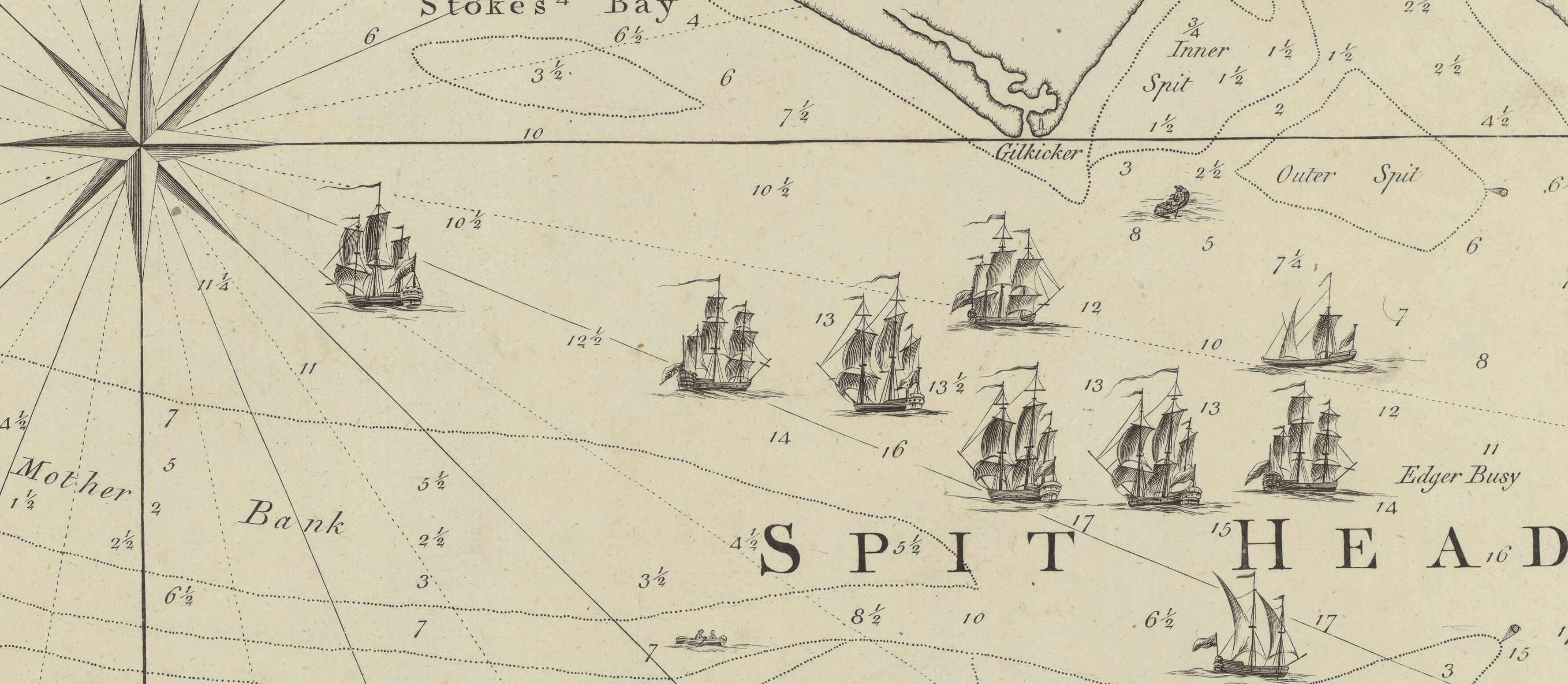
[edit]| A topographical map of the isle of Wight...
( |
|||||||||||||||||||||||||||
|---|---|---|---|---|---|---|---|---|---|---|---|---|---|---|---|---|---|---|---|---|---|---|---|---|---|---|---|
| Author |
Andrews, John (1736-1809). Cartographe |
||||||||||||||||||||||||||
| Title |
A topographical map of the isle of Wight... |
||||||||||||||||||||||||||
| Description |
Français : Sujet : Angleterre -- WightÎle de
Couverture : Royaume-Uni – Angleterre Langue : anglais |
||||||||||||||||||||||||||
| Date | 1775 | ||||||||||||||||||||||||||
| Dimensions | height: 127 cm (50 in); width: 100 cm (39.3 in) | ||||||||||||||||||||||||||
| Collection |
|
||||||||||||||||||||||||||
| References |
Français : Notice d'ensemble : http://catalogue.bnf.fr/ark:/12148/cb42262844n
Notice de recueil : http://catalogue.bnf.fr/ark:/12148/cb42260065x Appartient à : [Division 6 du portefeuille 22 du Service hydrographique de la marine consacrée à l'Ile de Wight, Angleterre] ; 18 Notice du catalogue : http://catalogue.bnf.fr/ark:/12148/cb42262844n |
||||||||||||||||||||||||||
| Source/Photographer |
Français : Bibliothèque nationale de France, département Cartes et plans, GESH18PF22DIV6P18/1
Bibliothèque nationale de France |
||||||||||||||||||||||||||
| Permission (Reusing this file) |
|
||||||||||||||||||||||||||
| Other versions | |||||||||||||||||||||||||||


File history
Click on a date/time to view the file as it appeared at that time.
| Date/Time | Thumbnail | Dimensions | User | Comment | |
|---|---|---|---|---|---|
| current | 12:40, 8 December 2022 | | 3,556 × 1,553 (706 KB) | Enyavar (talk | contribs) | File:A topographical map of the isle of Wight... - btv1b530105046.jpg cropped 77 % horizontally, 87 % vertically using CropTool with precise mode. |
You cannot overwrite this file.
File usage on Commons
The following 2 pages use this file: