File:South China Sea location map.svg

Oprindelig fil (SVG fil, basisstørrelse 1.134 × 1.229 pixels, filstørrelse: 617 KB)
Captions
Captions
Beskrivelse
[redigér]| Beskrivelse |
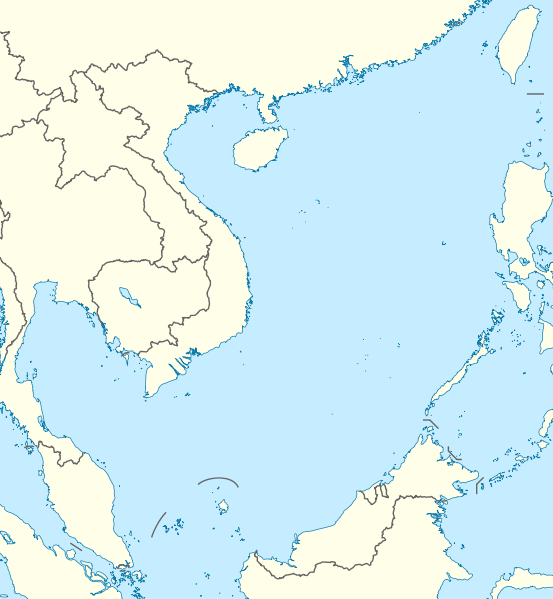
Deutsch: Positionskarte des Südchinesischen Meers
Quadratische Plattkarte, N-S-Streckung 102 %. Geographische Begrenzung der Karte:
English: Location map of the South China Sea
Equirectangular projection, N/S stretching 102 %. Geographic limits of the map:
|
|
| Dato | ||
| Kilde | own work, using World Data Base II data | |
| Forfatter | NordNordWest | |
| Tilladelse (Genbrug af denne fil) |
Denne fil er udgivet under Creative Commons Navngivelse – Del på samme vilkår 3.0 Tyskland-licensen.
 Denne fil er udgivet under Creative Commons Kreditering-Del på samme vilkår 3.0 Ikke-porteret-licensen.
|


|
This map has been made or improved in the German Kartenwerkstatt (Map Lab). You can propose maps to improve as well.
|
Filhistorik
Klik på en dato/tid for at se filen som den så ud på det tidspunkt.
| Dato/tid | Miniaturebillede | Dimensioner | Bruger | Kommentar | |
|---|---|---|---|---|---|
| nuværende | 17. aug. 2011, 18:56 | | 1.134 × 1.229 (617 KB) | NordNordWest (diskussion | bidrag) | == {{int:filedesc}} == {{Information |Description= {{de|Positionskarte des Südchinesischen Meers}} Quadratische Plattkarte, N-S-Streckung 102 %. Geographische Begrenzung der Karte: * N: 25.5° N * S: 0° N * W: 98.5° O * O: |
Du kan ikke overskrive denne fil.
Filanvendelse
De følgende 5 sider bruger denne fil:
Global filanvendelse
Følgende andre wikier anvender denne fil:
- Anvendelser på an.wikipedia.org
- Anvendelser på ar.wikipedia.org
- Anvendelser på az.wikipedia.org
- Anvendelser på ban.wikipedia.org
- Anvendelser på bcl.wikipedia.org
- Anvendelser på be.wikipedia.org
- Anvendelser på bn.wikipedia.org
- Anvendelser på ceb.wikipedia.org
- Anvendelser på de.wikipedia.org
- Anvendelser på en.wikipedia.org
- Kaohsiung
- Paracel Islands
- Spratly Islands
- Hainan
- Weizhou Island
- Pratas Island
- Natuna Regency
- Perhentian Islands
- Woody Island (South China Sea)
- Batam
- Third Taiwan Strait Crisis
- Anambas Islands Regency
- Taiping Island
- Redang Island
- Lang Tengah Island
- Scarborough Shoal
- Kapas Island
- Kalayaan, Palawan
- Trường Sa (township)
- Tenggol Island
- Thitu Island
- Bidong Island
- List of temples of the Church of Jesus Christ of Latter-day Saints by geographic region
- List of airports in Taiwan
- Tree Island, South China Sea
- Rocky Island, South China Sea
- Triton Island
- Bombay Reef
- Natuna Besar
- Sansha
- 1967 USS Forrestal fire
- Spratly Island
Vis flere globale anvendelser af denne fil.