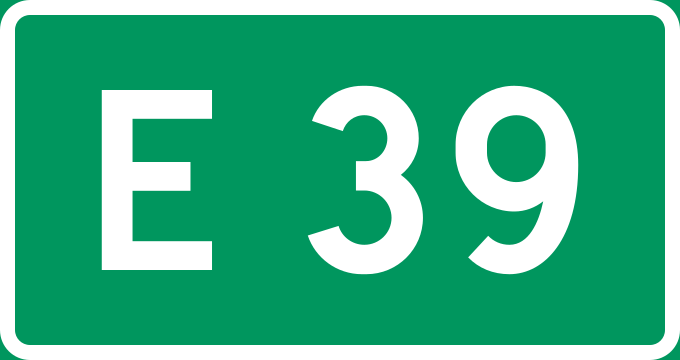
File:Stamvei E39.svg
From Wikimedia Commons, the free media repository
Jump to navigation
Jump to search

Size of this PNG preview of this SVG file: 680 × 360 pixels. Other resolutions: 320 × 169 pixels | 640 × 339 pixels | 1,024 × 542 pixels | 1,280 × 678 pixels | 2,560 × 1,355 pixels.
Original file (SVG file, nominally 680 × 360 pixels, file size: 3 KB)
File information
Structured data
Captions
Captions
Add a one-line explanation of what this file represents
Summary
[edit]| DescriptionStamvei E39.svg |
English: Diagram of norwegian trunk road sign |
| Date | |
| Source | Own work by uploader, based on File:Tabliczka E...svg |
| Author | BjørnN |
Licensing
[edit]| Public domainPublic domainfalsefalse |
| This work is ineligible for copyright and therefore in the public domain because it consists entirely of information that is common property and contains no original authorship. |
File history
Click on a date/time to view the file as it appeared at that time.
| Date/Time | Thumbnail | Dimensions | User | Comment | |
|---|---|---|---|---|---|
| current | 04:27, 12 August 2019 |  | 680 × 360 (3 KB) | Fredddie (talk | contribs) | redraw again |
| 15:35, 27 January 2019 |  | 681 × 361 (4 KB) | Fredddie (talk | contribs) | traffikalfabet | |
| 21:11, 21 March 2009 |  | 900 × 480 (4 KB) | BjørnN (talk | contribs) | layout according to Statens vegvesen | |
| 13:39, 13 March 2009 |  | 210 × 130 (3 KB) | BjørnN (talk | contribs) | {{Information |Description={{en|1=Diagram of norwegian trunk road sign}} |Source=Own work by uploader, based on File:Tabliczka E...svg |Author=BjørnN |Date=2009-03-13 |Permission= |other_versions= }} <!--{{ImageUpload|full}}--> [[C |
You cannot overwrite this file.
File usage on Commons
The following 3 pages use this file:
File usage on other wikis
The following other wikis use this file:
- Usage on bar.wikipedia.org
- Usage on de.wikipedia.org
- Usage on de.wikivoyage.org
- Usage on en.wikipedia.org
- European route E136
- List of bridges in Norway
- Gjemnessund Bridge
- Valsøy Bridge
- Bergsøysund Bridge
- European route E39
- European route E134
- Hagelsund Bridge
- Thamshavn Line
- Firda Upper Secondary School
- Rogfast
- Template:Thamshavnbanen
- Norwegian national road
- Fløyfjell Tunnel
- Hordfast
- Norwegian County Road 709
- Norwegian County Road 64
- Norwegian County Road 542
- Byfjord Tunnel
- Mastrafjord Tunnel
- Norwegian National Road 13
- Norwegian National Road 9
- Norwegian County Road 613
- Kviven Tunnel
- Eikefet Tunnel
- Norwegian County Road 456
- Norwegian County Road 482
- Norwegian County Road 65
- Norwegian County Road 682
- Arasvika–Hennset Ferry
- Norwegian County Road 350
View more global usage of this file.
Metadata
This file contains additional information such as Exif metadata which may have been added by the digital camera, scanner, or software program used to create or digitize it. If the file has been modified from its original state, some details such as the timestamp may not fully reflect those of the original file. The timestamp is only as accurate as the clock in the camera, and it may be completely wrong.
| Width | 680 |
|---|---|
| Height | 360 |