File:Status of watershed protection and flood prevention program and location of river basin studies, Tennessee LOC 93684054.jpg
Jump to navigation
Jump to search

Size of this preview: 800 × 365 pixels. Other resolutions: 320 × 146 pixels | 640 × 292 pixels | 1,024 × 467 pixels | 1,280 × 583 pixels | 2,560 × 1,167 pixels | 7,179 × 3,272 pixels.
Original file (7,179 × 3,272 pixels, file size: 2.46 MB, MIME type: image/jpeg)
Captions
Captions
Add a one-line explanation of what this file represents
Summary
[edit]| Description |
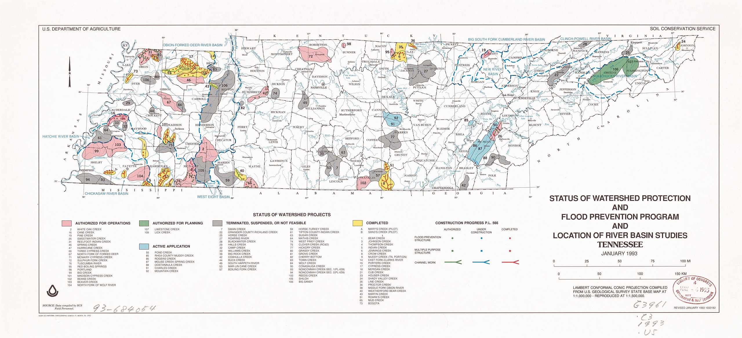
English: Shows construction progress P.L. 566: Authorized, under construction, completed. "From U. S. Geological Survey state base map at 1:1,000,000." Indexed for watershed projects. Available also through the Library of Congress Web site as a raster image. |
||
| Title | Status of watershed protection and flood prevention program and location of river basin studies, Tennessee | ||
| Shelf ID | G3961.C3 1993 .U5 | ||
| Date | |||
| Source | https://www.loc.gov/item/93684054/ | ||
| Author | United States. Soil Conservation Service; National Cartographic Center (U.S.) | ||
| Permission (Reusing this file) |
|
||
| Other versions |
|
||
| Location | Tennessee | ||
| Part of | American Memory · Catalog · Geography And Map Division · Additional Conservation And Environment Cartographic Items | ||
| Subject | Watershed Management · Maps · United States · Tennessee · Flood Control |


Licensing
[edit]
| This work is from the Library of Congress. According to the library, there are no known copyright restrictions on the use of this work. |  |
File history
Click on a date/time to view the file as it appeared at that time.
| Date/Time | Thumbnail | Dimensions | User | Comment | |
|---|---|---|---|---|---|
| current | 16:07, 6 November 2018 | | 7,179 × 3,272 (2.46 MB) | Fæ (talk | contribs) | LOC Maps https://www.loc.gov/item/93684054/ #421 |
You cannot overwrite this file.
File usage on Commons
The following page uses this file: